
Fort Myers · McGregor area guide
Altamont Manor
Neighborhood Guide
Altamont Manor is among the neighborhoods named by the Fort Myers Police Department's Central District. The nearby Altamont area connects the downtown approach with McGregor Boulevard.

A dated aerial view of the area and surrounding streets. Neighborhood boundaries are not marked; current conditions may differ.
Photographed Jan 29, 2023 & Feb 13, 2023.
Photo credit & license
USDA Farm Service Agency · USGS The National Map · Photo source · Public domain (NAIP). Actual aerial photography, exported in natural color, resized and converted to WebP. No AI synthesis or scene alteration. Locate this image area on a map · Location reference. Address geocoding is approximate; no parcel or neighborhood outline is implied.
Start with the location.
Inland approach near downtown; exact polygon unverified. Altamont Manor is among the neighborhoods named by the Fort Myers Police Department's Central District. The nearby Altamont area connects the downtown approach with McGregor Boulevard.
Find your bearings
Altamont Manor
Explore the area, streets and routes. Confirm a property’s recorded boundaries separately.
Area search map, not a surveyed neighborhood or historic-district boundary. District or association map and records ↗
Make this your starting point.
Neighborhood recognized by City police · Inland side
Part of the wider McGregor area. Map labels provide orientation; confirm recorded boundaries by address.
Explore nearby guide starting points
Explore this part of the corridor
01Altamont ManorInland side · Streets, parcels & local context02Allen ParkInland side · Historic city context03Carlton GroveInland side · Historic city context04Edison ParkInland side · Historic streets & an enduring entranceSelected guide starting points, not a surveyed boundary or continuous walking route. Browse all researched areas →
The story behind the streets.
- Local record
Recognizes Valencia Terrace, Poinciana Park, Shriver, McGregor Estates, Edison Park, Altamont Manor and West 1st Bayside among its neighborhoods. Does not establish individual boundaries or history.
Historical source ↗
No source-supported subdivision date established. City minutes use Altamont Park separately; do not merge labels without mapping.
Compare the home, not just the neighborhood name.
Altamont Manor is among the neighborhoods named by the Fort Myers Police Department's Central District. The nearby Altamont area connects the downtown approach with McGregor Boulevard. FMPD Central District ↗
For a specific residence, compare layout, lot, orientation, parking, alterations and documented condition. A neighborhood guide does not establish that every home shares these characteristics.
Understand the records and responsibilities.
Use the recorded subdivision, survey and exact address to identify restrictions, association obligations, permits and jurisdiction. A neighborhood name or older home does not by itself establish local historic-district status. City Planning ↗
Request current governing documents and amendments, applicable dues or assessments, insurance information, permits and unit- or parcel-specific assignments before relying on a broad description.
Put everyday destinations in context.
Choose public destinations and routes using the City facility directory. Nearby parks and landmarks are separate from any deeded amenities attached to the home. City facilities ↗
Visit the routes and surroundings at the times you expect to use them. Verify actual sidewalk crossings, public access, parking and current operating conditions during your visit.
Four questions to bring to a showing.
- What does the parcel's legal subdivision say?
- What are the permitted dwelling units, parking and renovation approvals?
- Which nearby crossing and sidewalk route serves the actual address?
- What current insurance, taxes, maintenance and any association charges apply to this property?
Use these address-specific resources as a starting point. Flood zones and evacuation zones answer different questions; check both.
No neighborhood-wide price, flood status, insurance cost, lease permission or current condition is assumed here. Verify the actual property and current records with the relevant authority and professionals.
Turn the guide into a focused search.
The property search opens the Team’s broader BoldTrail site. Ask Mary and Ty to focus the exact neighborhood and property criteria; availability changes.
Bring your shortlist to Mary & Ty.
Save the areas you want to discuss. Copy this summary and paste it into the Team contact form, then choose when to send your inquiry.
Saved on this browser only. Nothing is sent automatically. Preview links require authorized access; the contact form opens on our existing Team website.
Questions, answered.
How do I confirm the neighborhood boundary?
Check the recorded plat, exact parcel and City GIS resources. This page provides area orientation, not surveyed boundaries.
Does the neighborhood name establish historic protection?
No. Confirm the specific property against the City historic-district records before planning changes.
How can Mary and Ty help narrow the search?
Save this area to your shortlist, note the property features you need, and bring those details to the Team through the contact page.
Sources and review notes.
- Boundary / recorded-section context ↗
- FMPD Central District ↗
- City Public Works meeting minutes, May 16 2024 ↗
- City Planning ↗
- City facilities ↗
Prepared from the linked public material. Real photographs carry location and attribution. AI-generated illustrations are visibly labeled and do not depict verified properties or amenities.

USDA / USGS · Public domain · Credits
Inland side
Allen Park
Historic city context
Explore Allen Park →
USDA / USGS · Public domain · Credits
Inland side
Carlton Grove
Historic city context
Explore Carlton Grove →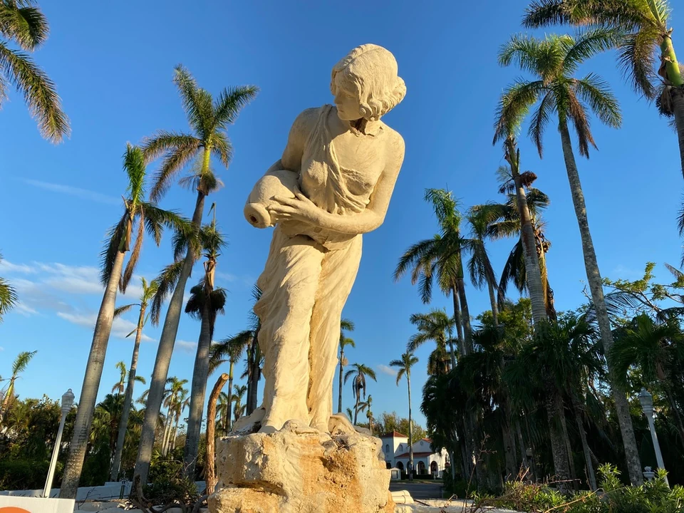
Jocelyn Augustino / FEMA · Public domain · Credits
Inland side
Edison Park
Historic streets & an enduring entrance
Explore Edison Park →
USDA / USGS · Public domain · Credits
Inland side
McGregor Estates
Streets, parcels & local context
Explore McGregor Estates →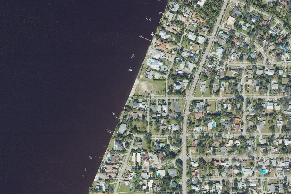
USDA / USGS · Public domain · Credits
Area / address check
Poinciana Park
Streets, parcels & local context
Explore Poinciana Park →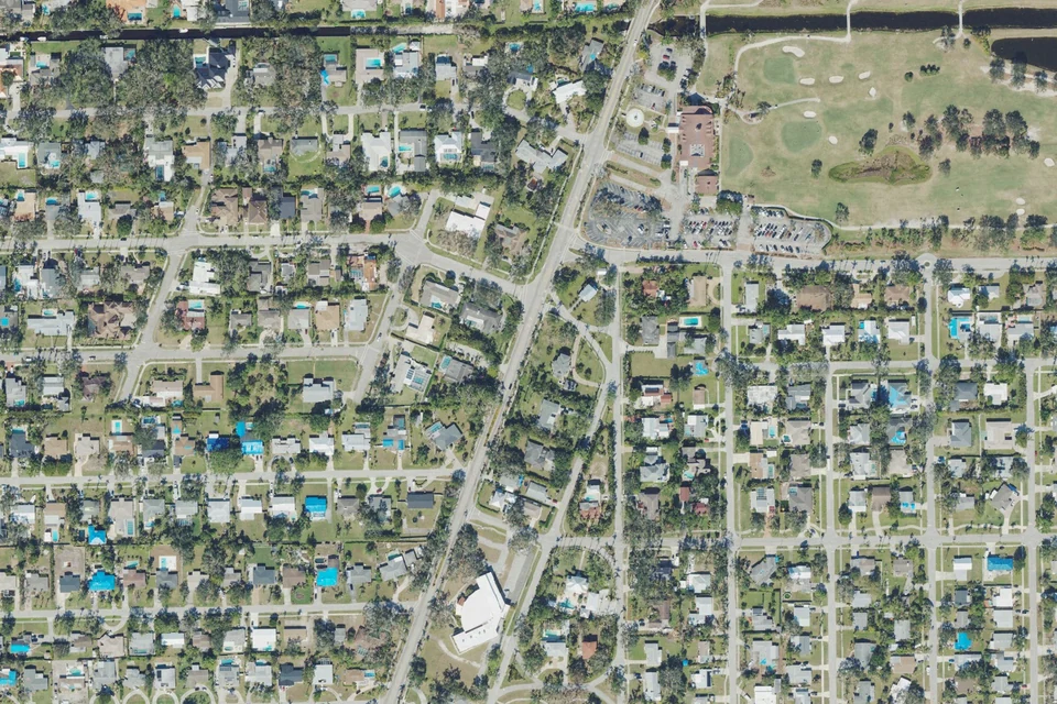
USDA / USGS · Public domain · Credits
Inland side
Seminole Park
A closer look at historic Fort Myers
Explore Seminole Park →


