
Fort Myers · neighborhood field guides
Follow McGregor.
Find your place.
Historic streets, creek and lake settings, riverfront and canal homes. Explore the researched neighborhoods on both sides of McGregor, plus clearly labeled nearby connector communities. Save your favorites, then focus the property search with Mary and Ty.

Find the neighborhood that fits your plans.
52 researched neighborhood and area guides
No matching areas. Clear the filters or ask Mary & Ty about the neighborhood you need ↗.

USDA / USGS · Public domain · Credits
Allen Park appears in the City's traffic-calming study and in Edison Park's account of adjacent subdivisions developed by the Snell Brothers. Its neighborhood name should be distinguished from the elementary school's attendance assignment.

USDA / USGS · Public domain · Credits
Altamont Manor is among the neighborhoods named by the Fort Myers Police Department's Central District. The nearby Altamont area connects the downtown approach with McGregor Boulevard.

USDA / USGS · Public domain · Credits
Edison Park's neighborhood history names Carlton Grove among the adjacent subdivisions developed by the Snell Brothers and places it just south of Manuel's Branch.
Jocelyn Augustino / FEMA · Public domain · Credits
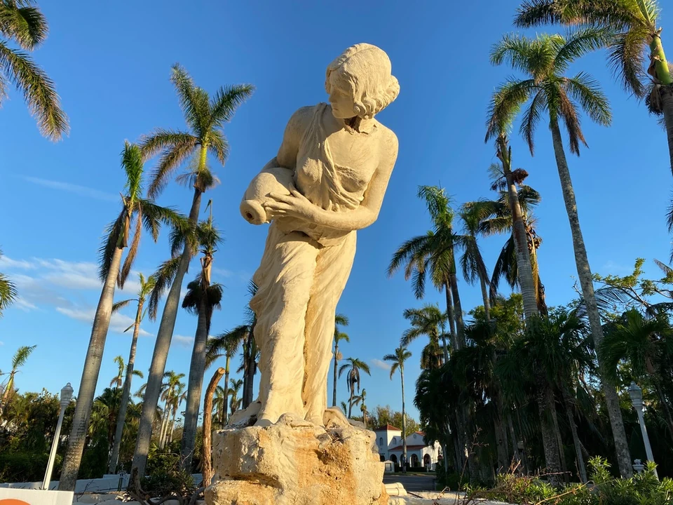
A neighborhood between McGregor Boulevard and Cleveland Avenue, across from the Edison and Ford Winter Estates. Start with the setting, then look closely at each home’s history, alterations and historic-district status.

USDA / USGS · Public domain · Credits
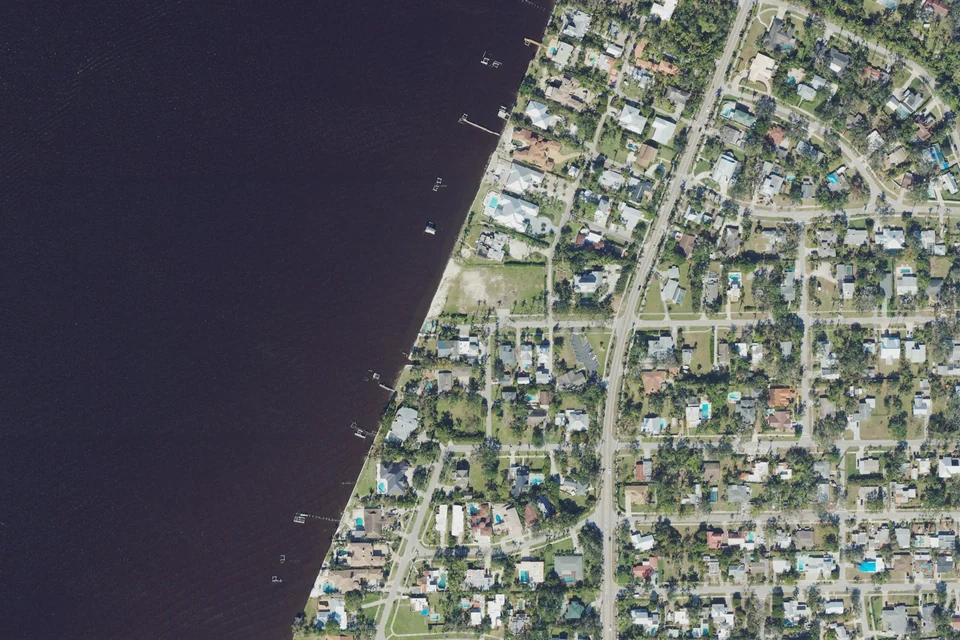
McGregor Estates is a recognized Central District neighborhood along the McGregor residential corridor. Compare homes at the parcel level for construction, updates and lot conditions.
USDA / USGS · Public domain · Credits
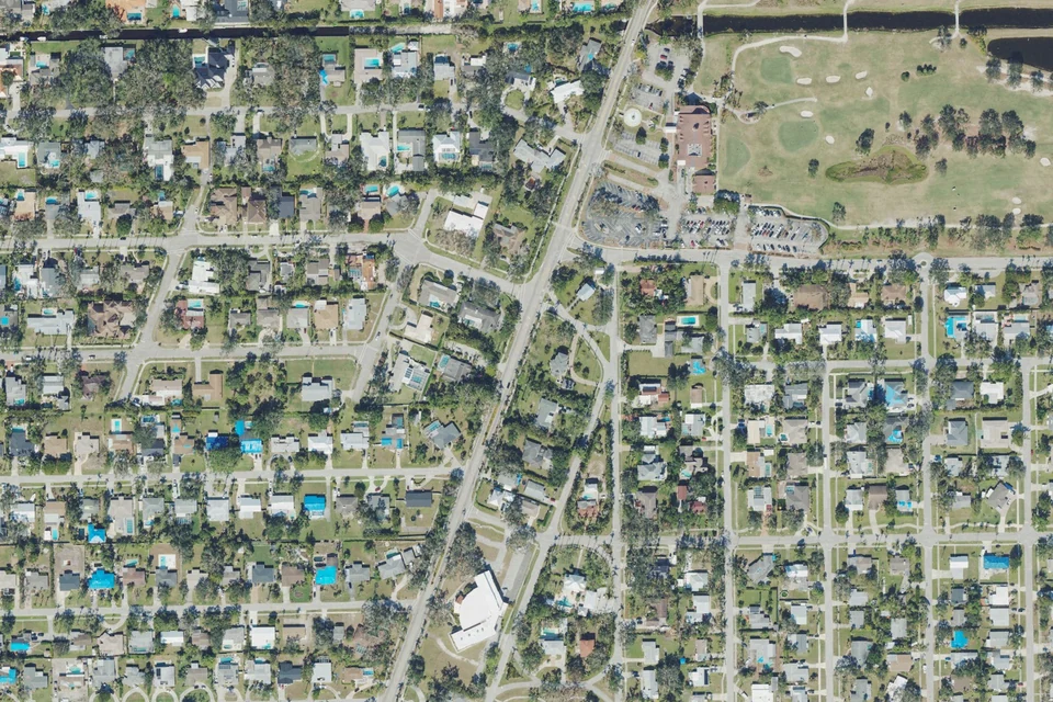
Poinciana Park is a named neighborhood in the Fort Myers Police Department's Central District. Use the exact address and recorded documents to identify which part of the McGregor area a listing describes.
USDA / USGS · Public domain · Credits
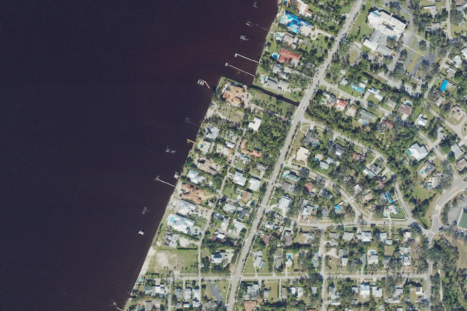
Explore a residential historic district along McGregor south of Edison Park, where the individual lot, building and renovation history matter more than a broad neighborhood label.
USDA / USGS · Public domain · Credits
Shriver is among the Central District's named neighborhoods in the historic McGregor area. Review access, lot boundaries and waterfront rights for each property independently.

USDA / USGS · Public domain · Credits
Valencia Terrace is one of the adjacent subdivisions that Edison Park's history associates with the Snell Brothers. It is also recognized by name in the Central District neighborhood list.

Ebyabe · CC BY-SA 3.0 · Credits
West 1st Bayside is named in the Central District's neighborhood list. The West First Street approach has individual residential developments whose documents and ownership structures should be checked separately.

USDA / USGS · Public domain · Credits
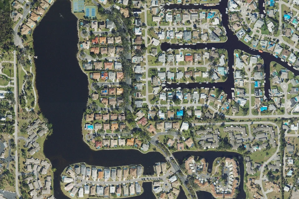
State records identify separate Caloosa Bayview condominium and village entities; do not collapse them into one set of dues.
USDA / USGS · Public domain · Credits
An established waterfront neighborhood near College Parkway, with a voluntary improvement association.

USDA / USGS · Public domain · Credits
A residential area around Tanglewood Parkway with access to McGregor and nearby inland routes.

USDA / USGS · Public domain · Credits
A riverfront private-club community with multiple residential villages and marina, golf and racquet amenities.

USDA / USGS · Public domain · Credits
A McGregor–Cypress Lake setting with riverfront, canal, lakefront and off-water homes. Compare the actual waterfront route and recorded unit as carefully as the house itself.

USDA / USGS · Public domain · Credits
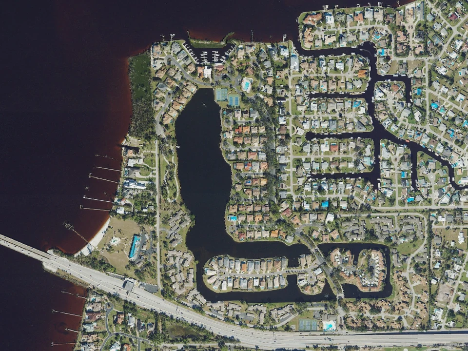
Explore the McGregor–College Parkway area through the exact section and property type. Single-family, condominium and duplex-style ownership can involve different documents, costs and access rights.
USDA / USGS · Public domain · Credits
A residential and club setting with marina-related governance and different association responsibilities.

USDA / USGS · Public domain · Credits
A Daniel Wayne Homes-developed neighborhood in the southern McGregor area.

USDA / USGS · Public domain · Credits
A master community containing multiple neighborhoods, with condominium, townhome and single-family options beside a riverfront club and marina setting.

USDA / USGS · Public domain · Credits
County approved a 35-lot single-family RPD on approximately 12.15 acres.

USDA / USGS · Public domain · Credits
An established named residential community with an HOA and an official manager-hosted resident portal.

USDA / USGS · Public domain · Credits
A canal and river-oriented single-family neighborhood with homeowner-owned dock/lift facilities where applicable.

USDA / USGS · Public domain · Credits
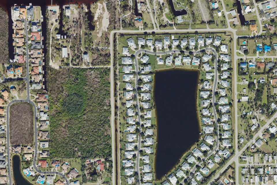
A collection of waterfront-area associations with private waterfront recreation, marina and pier rules.
USDA / USGS · Public domain · Credits
A Daniel Wayne Homes-developed residential community in the wider Iona/McGregor setting.

USDA / USGS · Public domain · Credits
Florida registry lists a master association and multiple Calusa Palms condominium associations.

USDA / USGS · Public domain · Credits
A single-family community around lakes with a preserve setting and shared recreation facilities.

USDA / USGS · Public domain · Credits
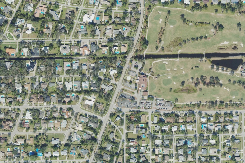
A named property-owner association and residential area in the river-side Iona connection.
USDA / USGS · Public domain · Credits
Fort Myers Country Club at 3591 McGregor Boulevard opened in 1917 after a Donald Ross design the previous year. Nearby homes belong to their own parcels and subdivisions; proximity does not establish included golf membership or common community rules.

USDA / USGS · Public domain · Credits
County permit records identify Harbour Palms Homeowners Association and a 2005 residential building permit on Harbour Palms Drive.

USDA / USGS · Public domain · Credits
An officially described 55-or-over HOA community with condos, villas and single-family homes around lakes.
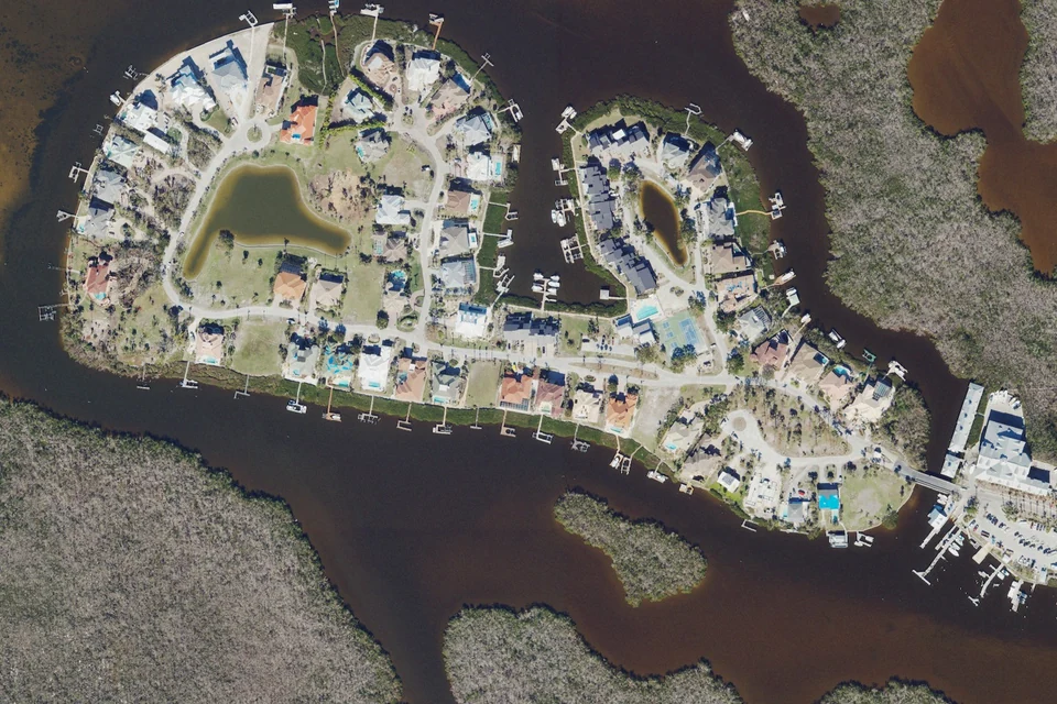
USDA / USGS · Public domain · Credits
A gated island community with separate community, yacht and townhome associations.

USDA / USGS · Public domain · Credits
A bundled golf community with condos, villas and single-family homes under master and local associations.
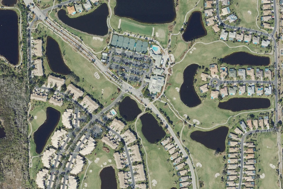
USDA / USGS · Public domain · Credits
Official club distinguishes Golf Village and Lake Village.
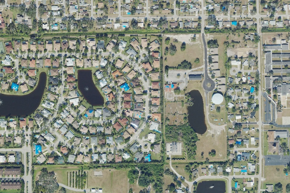
USDA / USGS · Public domain · Credits
The association publishes recorded amended covenants and architectural-review forms.

USDA / USGS · Public domain · Credits
Myerlee Country Club is a semi-private executive golf course; the club is distinct from nearby residential associations.
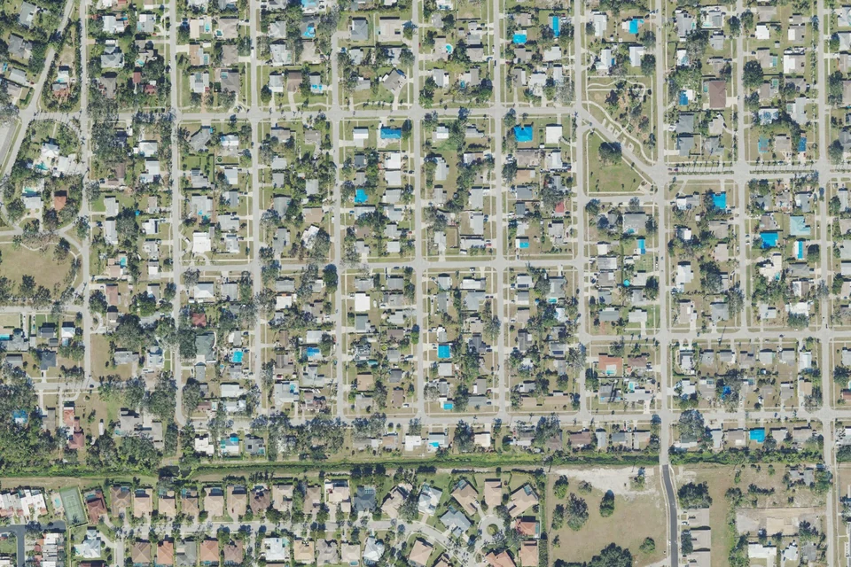
USDA / USGS · Public domain · Credits
Palm Lee Park is documented in City permit records and a 1970 archival resolution index. Listings may also spell the name Palmlee Park; confirm the recorded spelling and lot description for a purchase.

USDA / USGS · Public domain · Credits
Parker Lakes HOA has its own office at 15151 Parker Lakes Drive.

Sanibel sun · CC BY-SA 3.0 · Credits
An inland neighborhood where the street and association records are an important part of the home comparison.
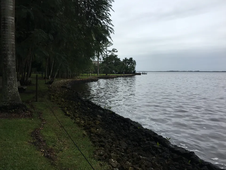
Fredlyfish4 · CC BY-SA 4.0 · Credits
Start with the correct recorded section before comparing residences or waterfront features.

Russ · CC BY 2.0 · Credits
Connect the community name to its actual entrance, association and waterfront rights.

USDA / USGS · Public domain · Credits
Compare the specific residence and documents, especially when a listing references the wider Shell Point area.

USDA / USGS · Public domain · Credits
Look beyond the lagoon name to the lot, water route and property infrastructure.

USDA / USGS · Public domain · Credits
Compare the residence type and its own condominium section alongside the master community.

USDA / USGS · Public domain · Credits
A lakeside condominium starting point with direct links to the association’s own information.

USDA / USGS · Public domain · Credits
Resolve the legal section before applying dues, waterfront rights or building responsibilities.

Sswebrc · CC BY-SA 4.0 · Credits
Understand the residence contract and service model before comparing Shell Point with deeded homes nearby.

USDA / USGS · Public domain · Credits
Use the legal association and recorded lot description to keep similarly named communities separate.
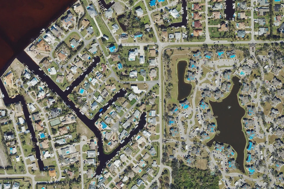
USDA / USGS · Public domain · Credits
A local name supported by County records, with street access and ownership details to check by address.

Sanibel sun · CC BY-SA 3.0 · Credits
A condominium comparison should start with current documents, even when an older community information sheet is easy to find.

USDA / USGS · Public domain · Credits
Treat the legal phase as part of the address when comparing documents and obligations.

USDA / USGS · Public domain · Credits
Include government assessment records as well as any private association documents.

USDA / USGS · Public domain · Credits
Use the legal subdivision and exact street before comparing homes, amenities or fees.
This directory includes 52 researched neighborhood and area guides. Nearby connectors and broader area labels are identified separately. It is not a legal index of every subdivision, village or HOA; use the exact address to confirm coverage.
Bring your shortlist to Mary & Ty.
Save the areas you want to discuss. Copy this summary and paste it into the Team contact form, then choose when to send your inquiry.
Saved on this browser only. Nothing is sent automatically. Preview links require authorized access; the contact form opens on our existing Team website.
Similar names. Different places.
These four research names needed a location or ownership clarification. They are kept separate from the McGregor neighborhood count so you can follow the right address.
A corridor, with different chapters.
Downtown Fort Myers ↓ toward coastal connections
01Edison ParkInland side · Historic streets & an enduring entrance02Whiskey CreekInland side · Creek, lake & golf-course settings03Town & RiverRiver side · Waterfront choices, property by property04Gulf HarbourRiver side · Ownership, location & lifestyle choicesSelected guide starting points, not a surveyed boundary or continuous walking route. Browse all researched areas →
Find your bearings
McGregor Corridor
Explore the area, streets and routes. Confirm a property’s recorded boundaries separately.
Area search map, not a surveyed neighborhood or historic-district boundary. Official planning map ↗
Use the area map to understand the road and nearby streets. For coastal outings, plan the route to the specific Fort Myers Beach, Sanibel or Punta Rassa destination and check current access and parking.
Looking for another neighborhood?
Names and association boundaries can overlap. If the area you need is not listed, send the street or community name and the property features you want to Mary and Ty.
Ask about another neighborhood ↗From winter estates to neighborhood streets.
- 1885
Edison’s riverfront purchase
Historical source ↗ - 1907
Royal-palm planting along the former Riverside Avenue
Historical source ↗ - 1914
Museum account dates paved-road completion to July 15
Historical source ↗ - 1916
Ford purchased the neighboring winter estate
Historical source ↗
Tootie McGregor Terry helped fund paving in memory of Ambrose McGregor. The museum’s history distinguishes the road’s development stages; later neighborhoods have their own histories.
Start with the questions that matter.
History and renovation
For Edison Park and Seminole Park, confirm the actual historic-district parcel and proposed work with City Planning.
Water and boating
For creek, lake, canal or river property, verify the actual route, barriers, depth, permits and recorded rights.
Ownership and costs
Identify the exact recorded unit and documents. Civic, condominium, club and government obligations can be separate.
A useful guide leads to better checks.
Use the specific address to establish jurisdiction, permits, taxes and map information. A Fort Myers mailing address or a corridor name is not a substitute for that check.
Bring the place into your property search.
The property search opens the Team’s broader BoldTrail site. Ask Mary and Ty to focus the exact neighborhood and property criteria; availability changes.
Explore the wider Fort Myers guide → · Compare condo buildings →
How this collection was prepared.
Original neighborhood guides prepared October 20, 2026 from City historic-preservation material, the Edison and Ford Winter Estates, neighborhood associations and county resources. Each individual guide links the sources behind its history and buyer considerations.
City Planning ↗ · Museum historical timeline ↗ · County maps and apps ↗


