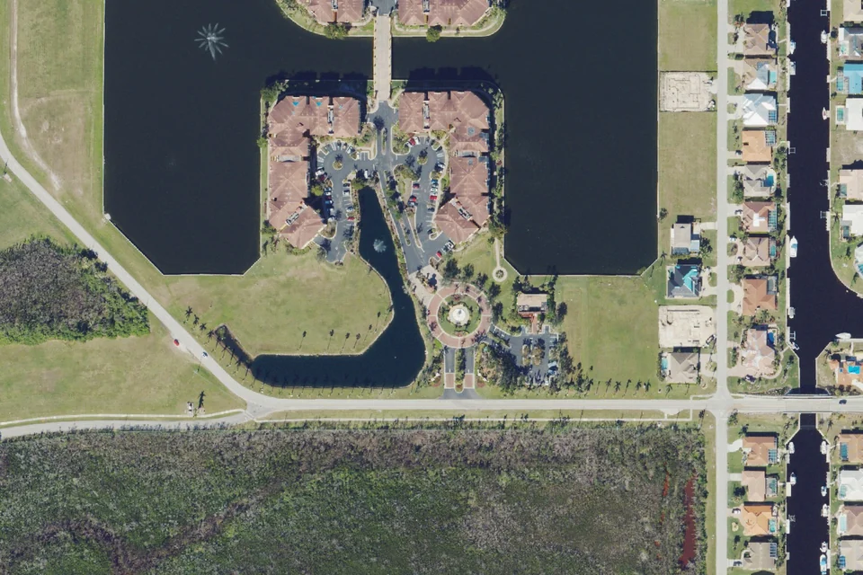
262 communities — a curated starting point, not a complete regional inventory.
Golf identifies communities with golf facilities; membership rights vary. The 55+ filter includes only age qualification verified in the reviewed official sources.
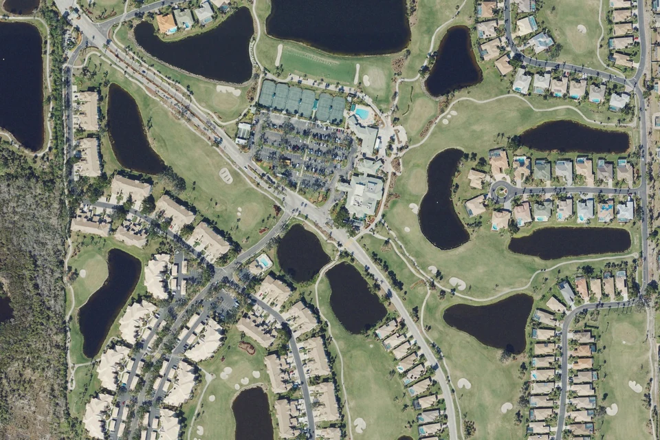
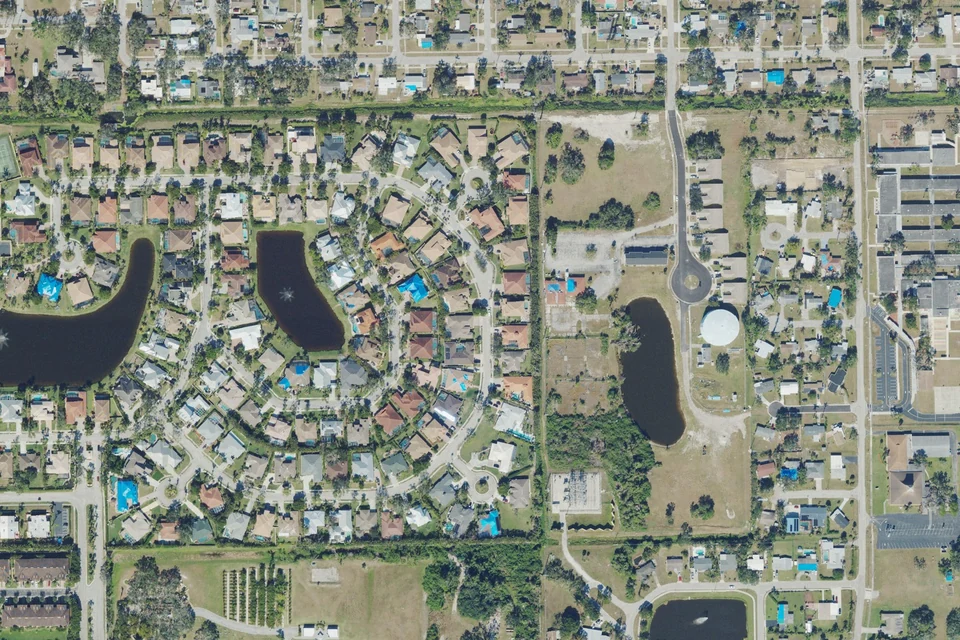
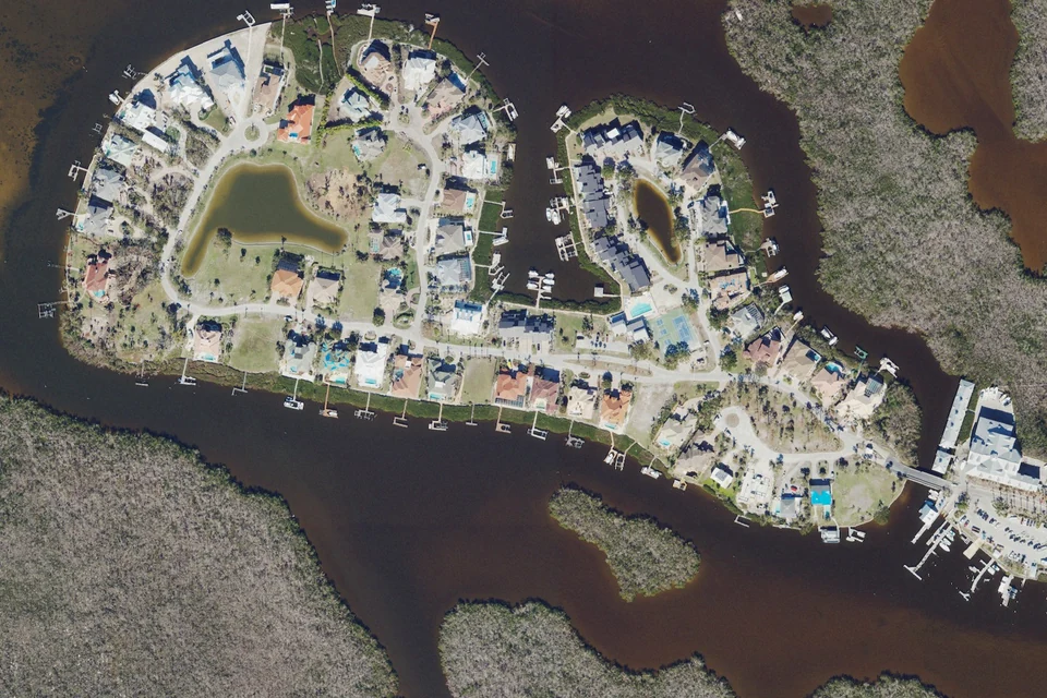
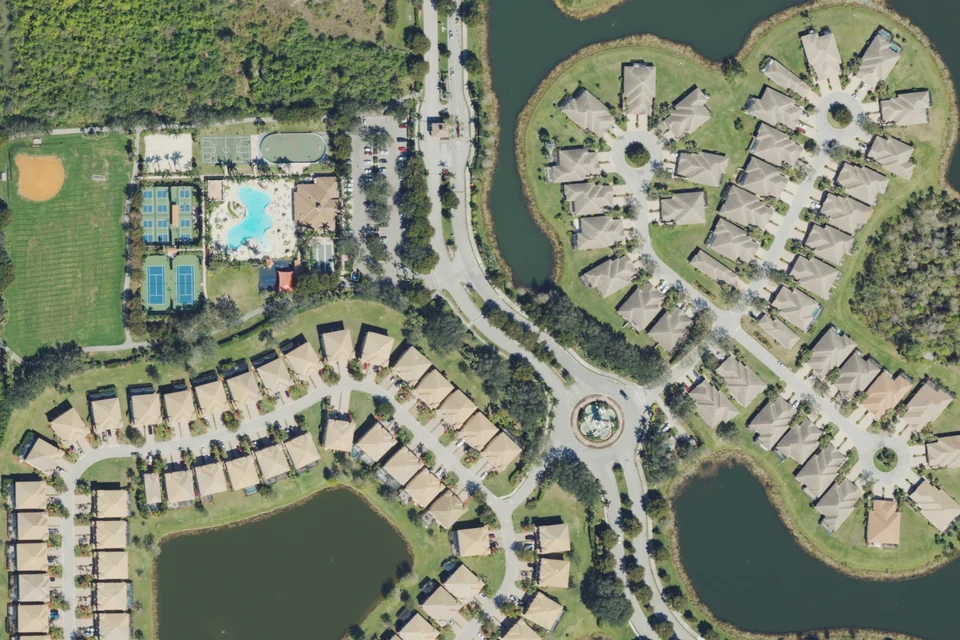
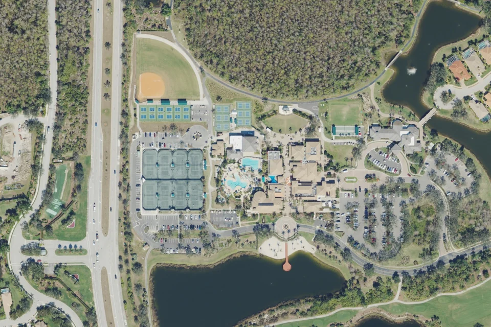
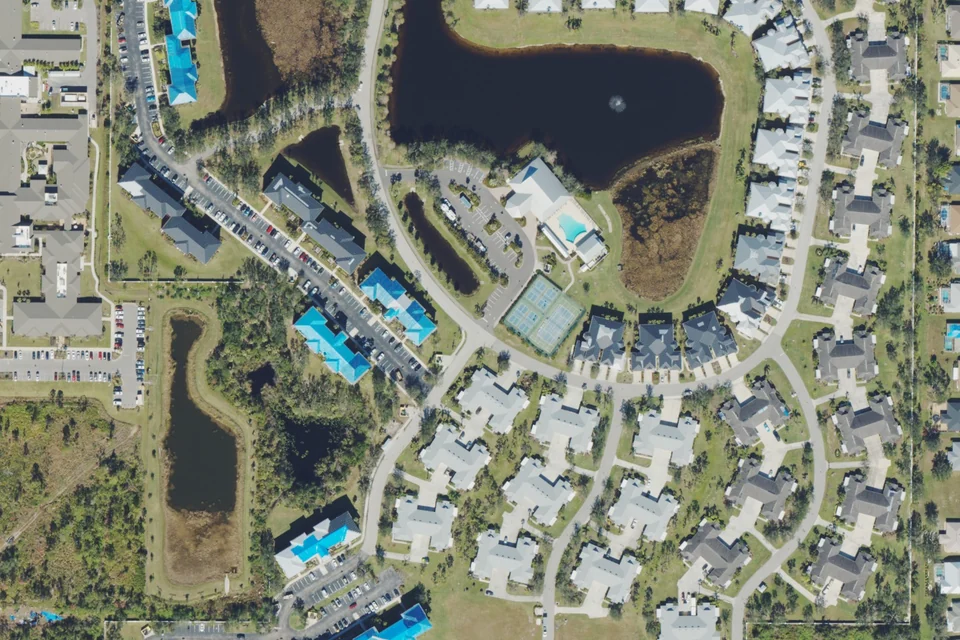
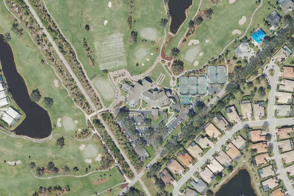
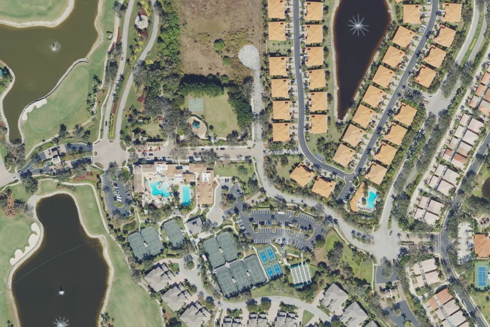
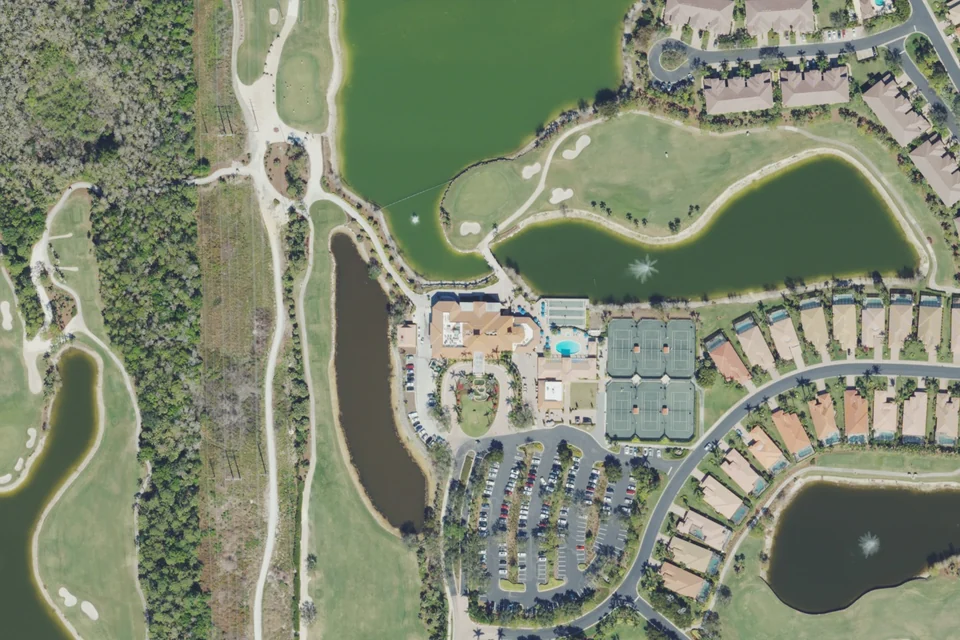
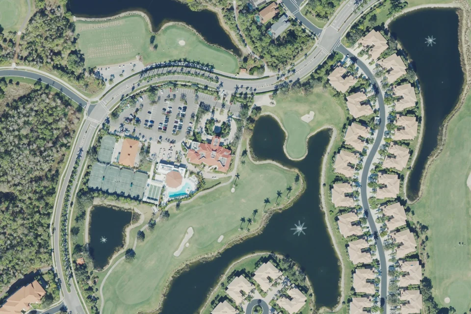
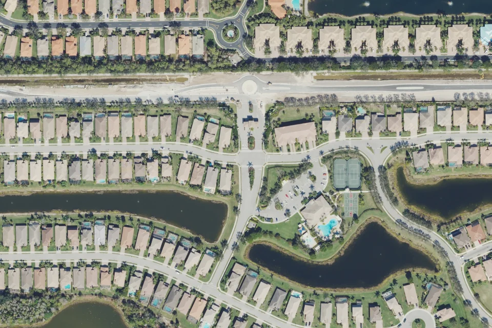
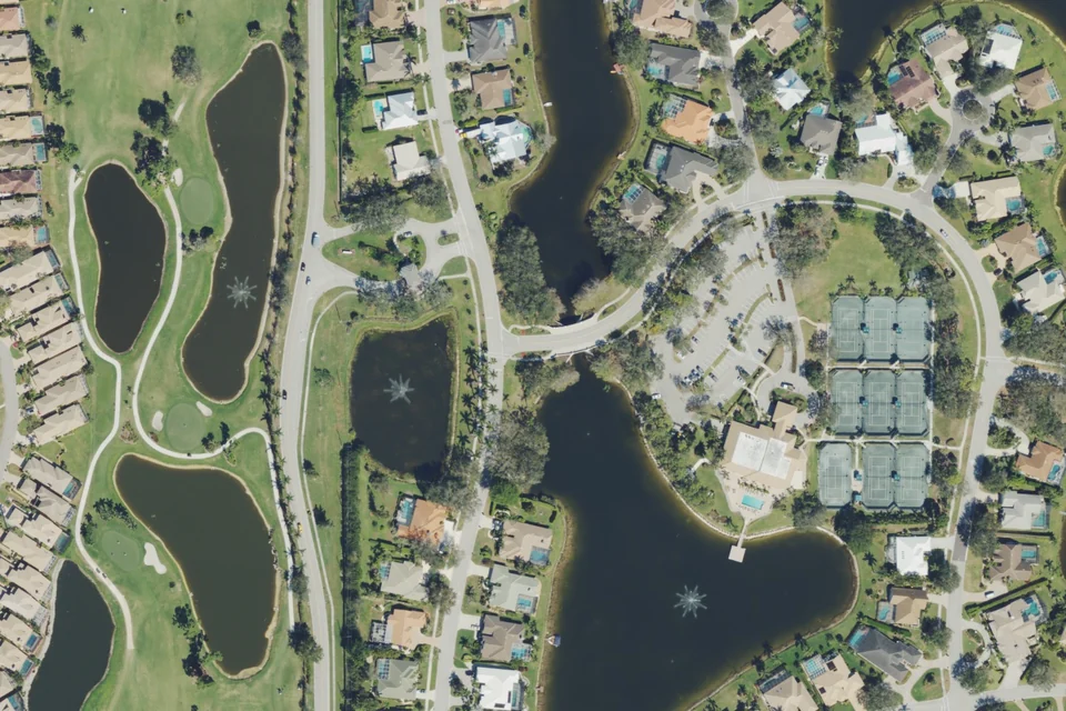
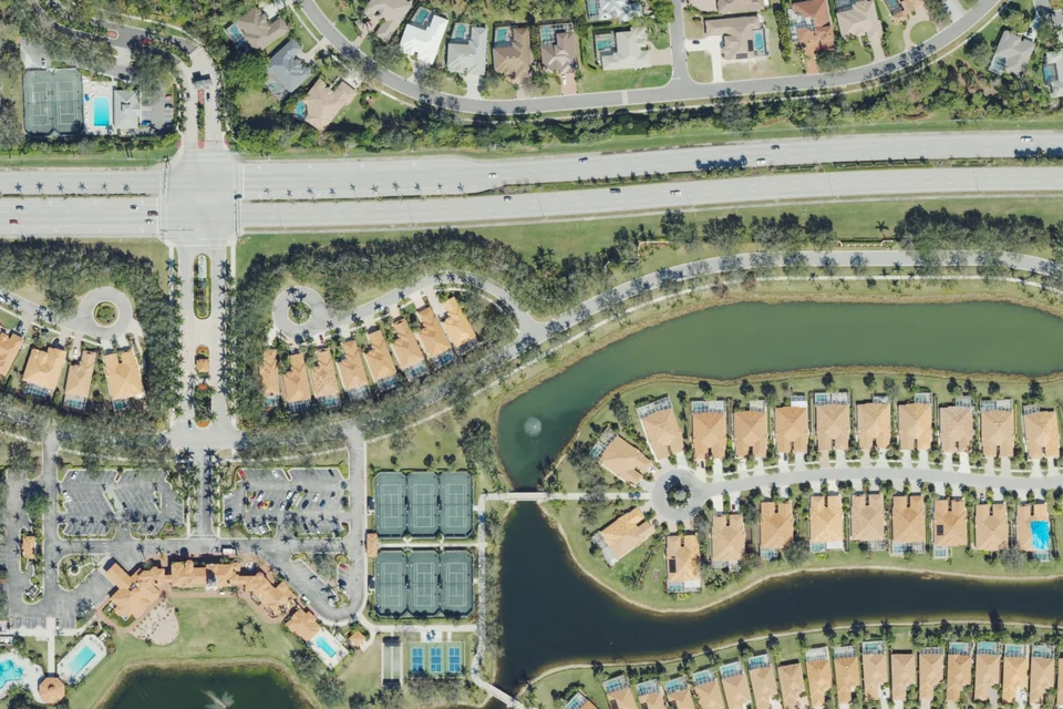
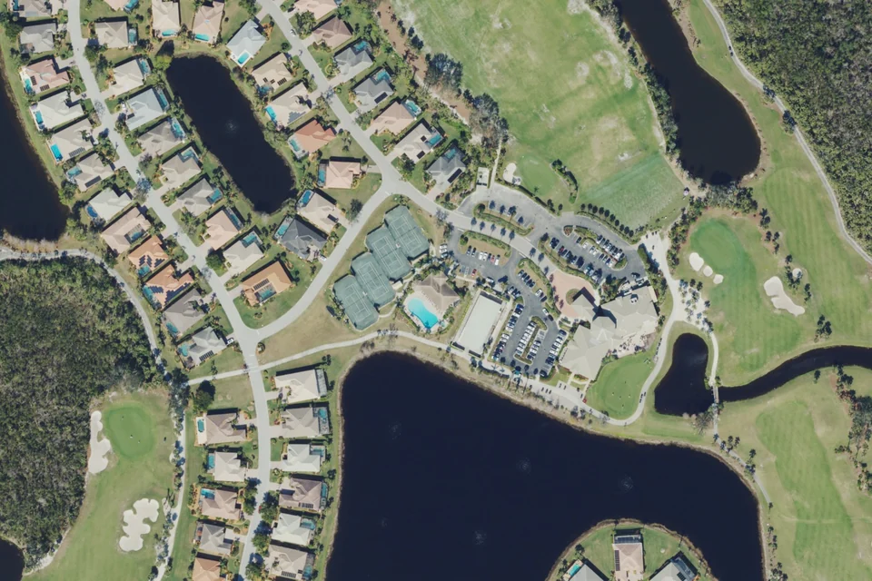
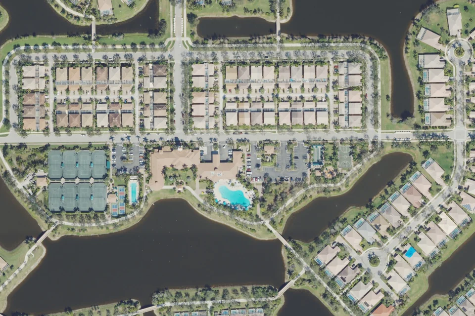
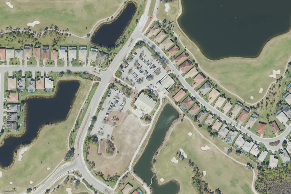
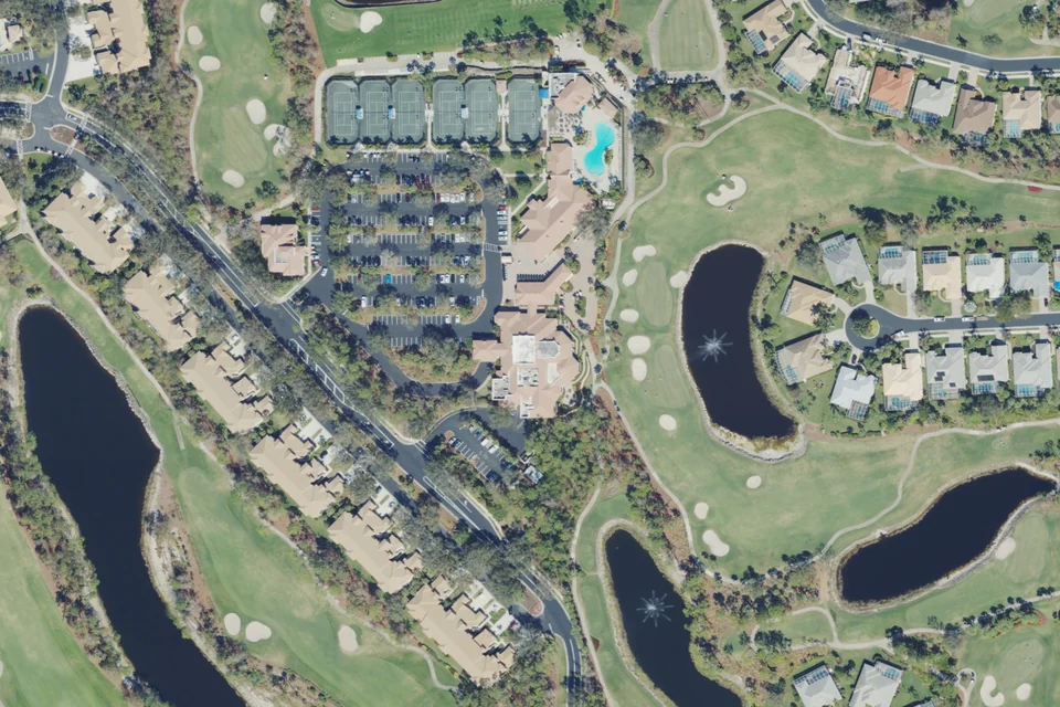
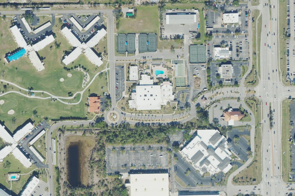
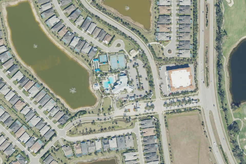
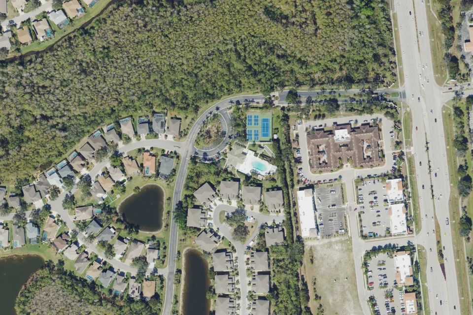
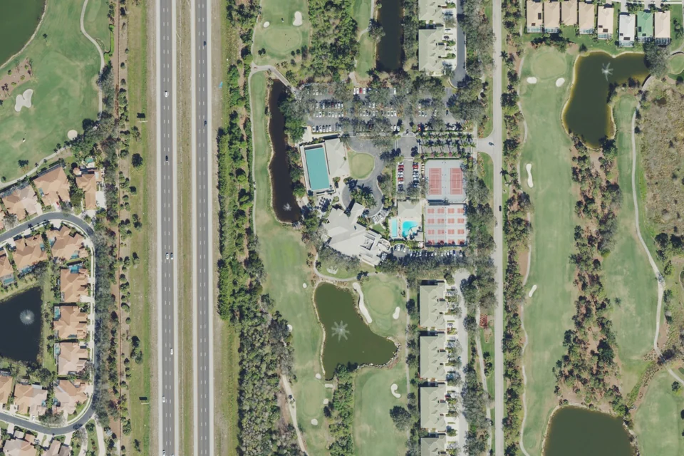
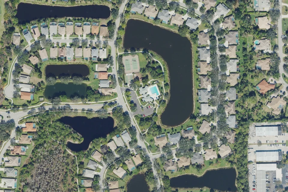
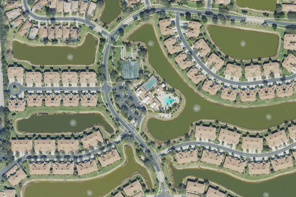
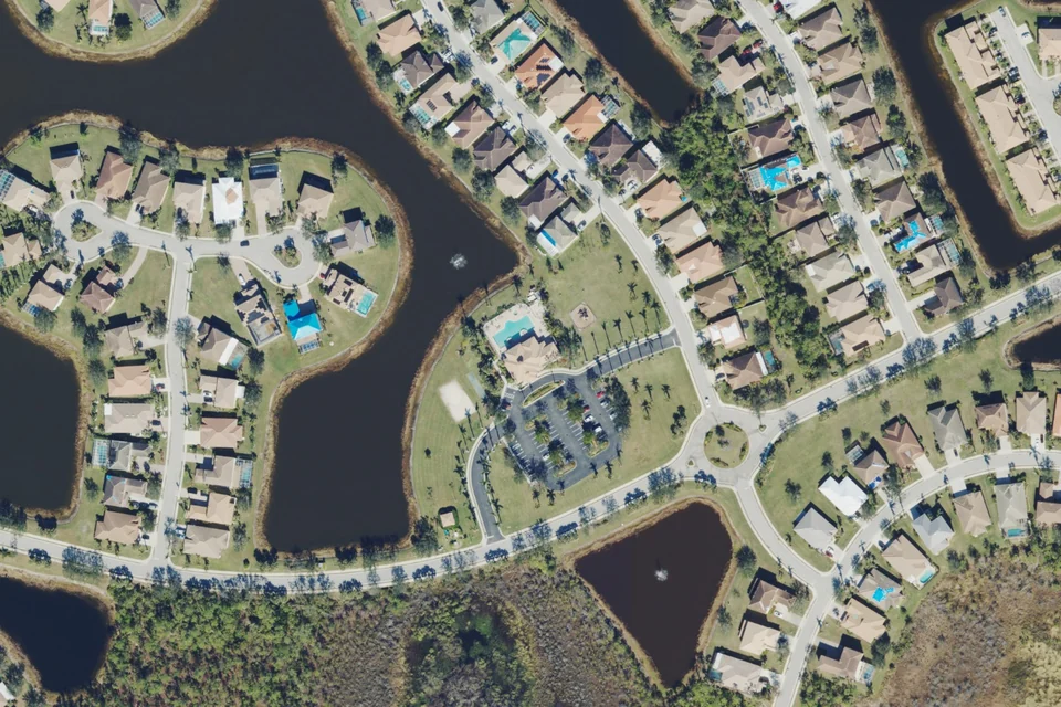
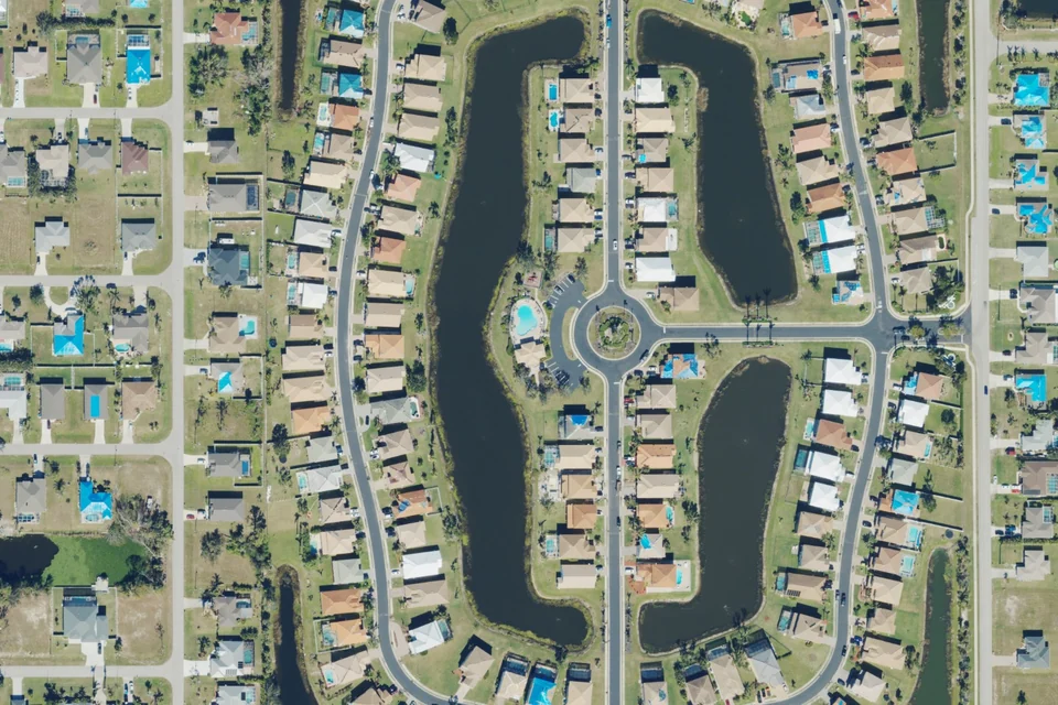
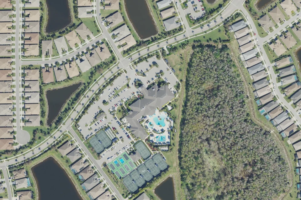
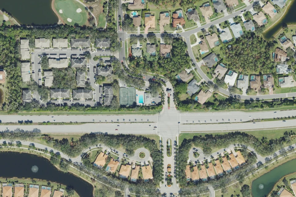
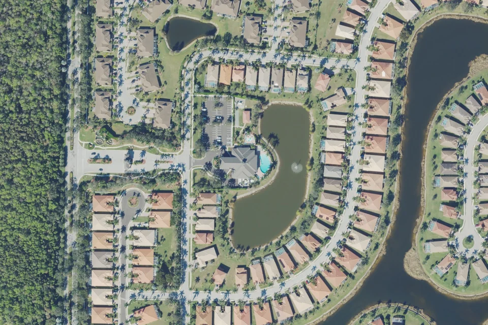
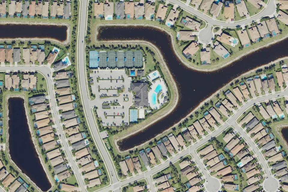
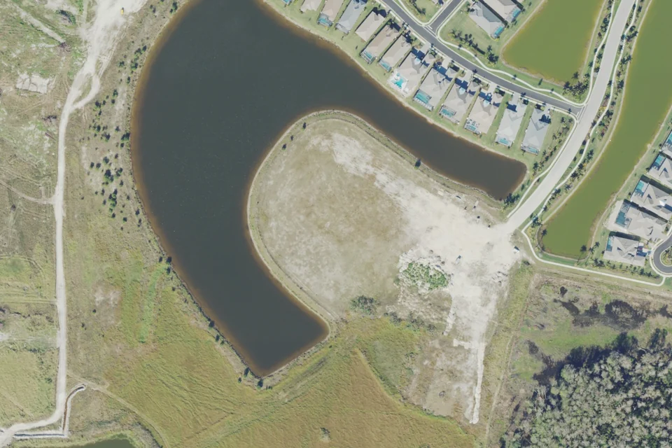
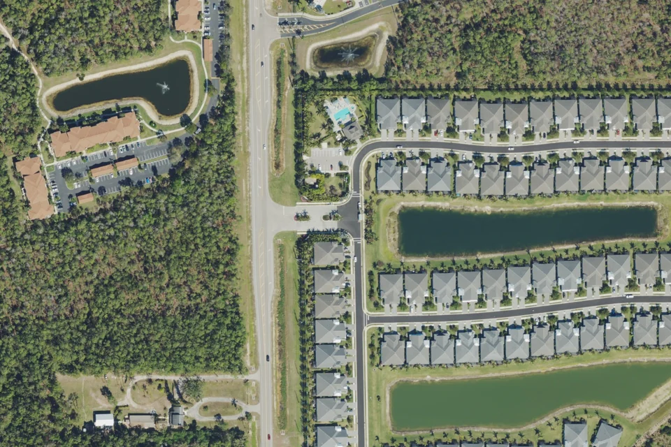
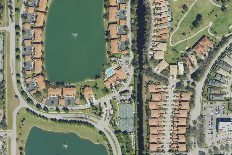
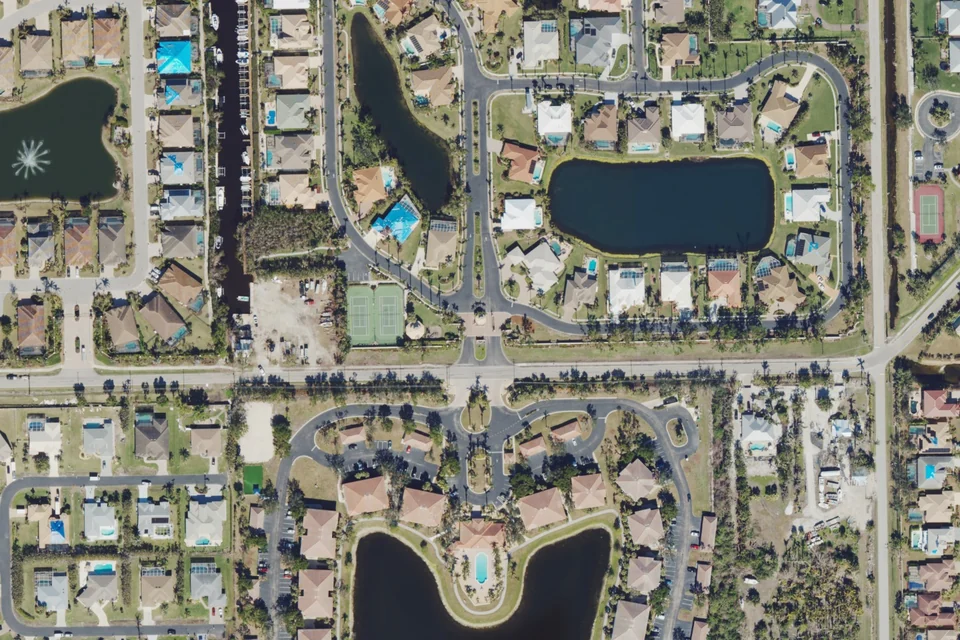
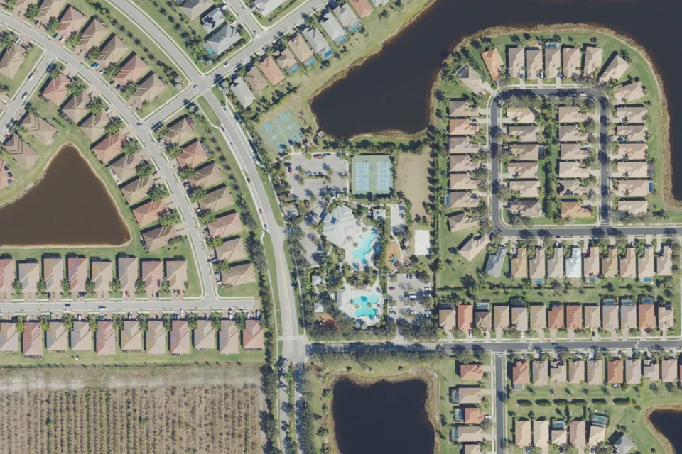
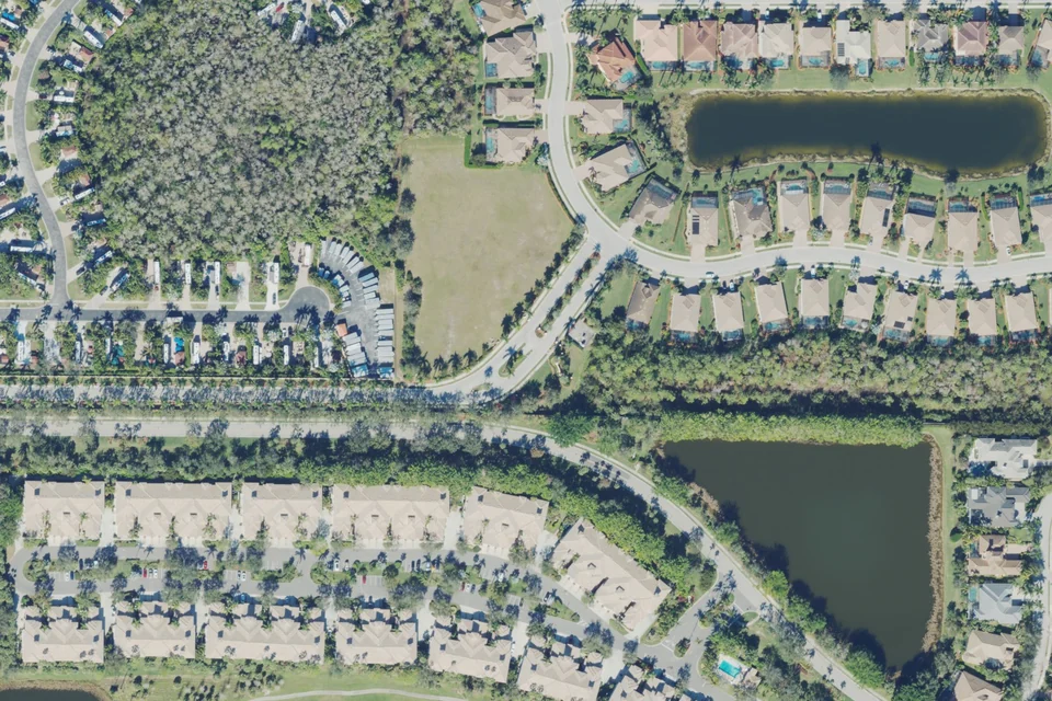
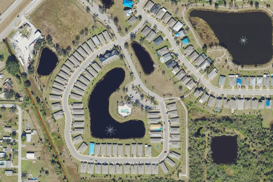
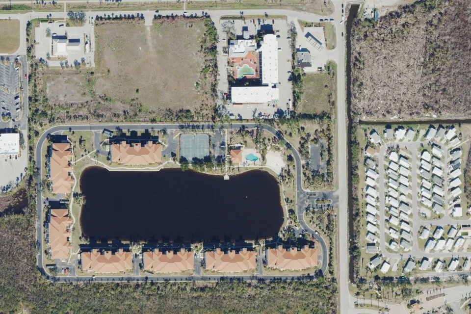
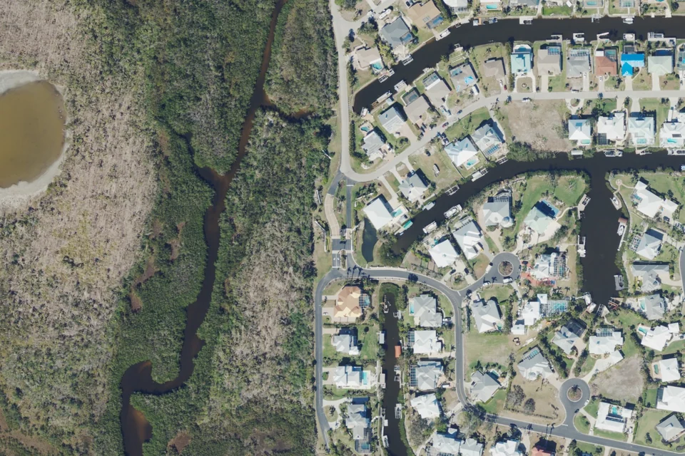
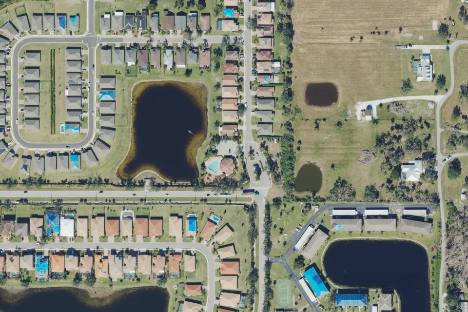
Actual 2023 aerial area context · USDA NAIP / USGS. Not a boundary map; current conditions may differ.
Homeownership, country-club membership and marina slips are separate decisions. Buying a home does not itself grant access to club facilities. Golf and Sports memberships offer different privileges; confirm the current category and terms directly with the club.
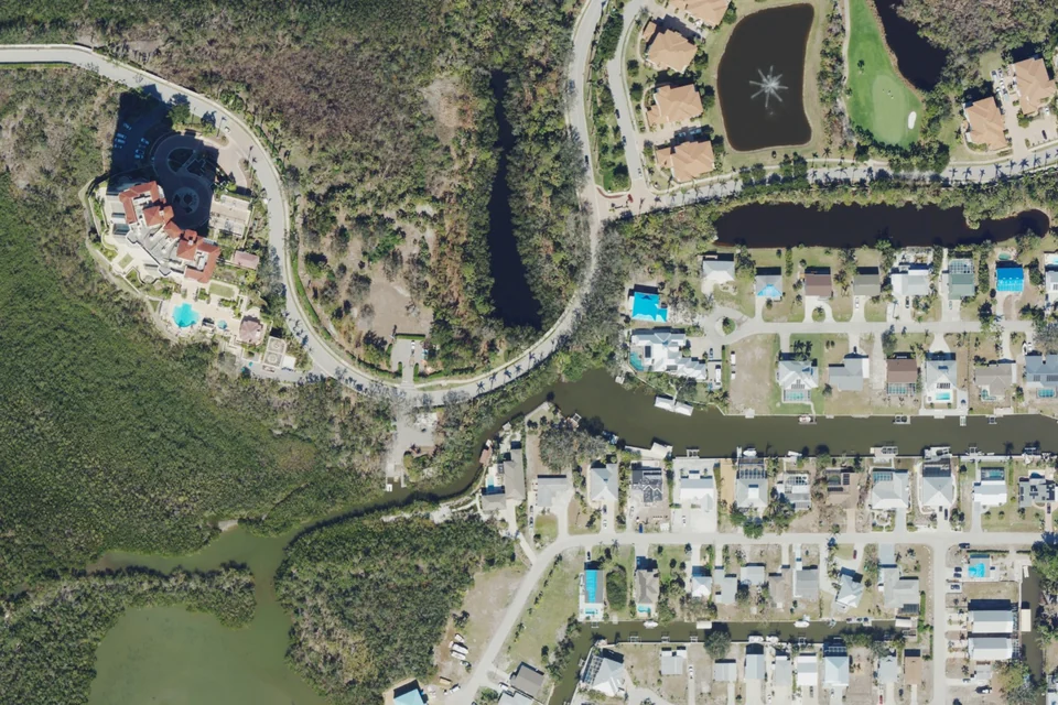
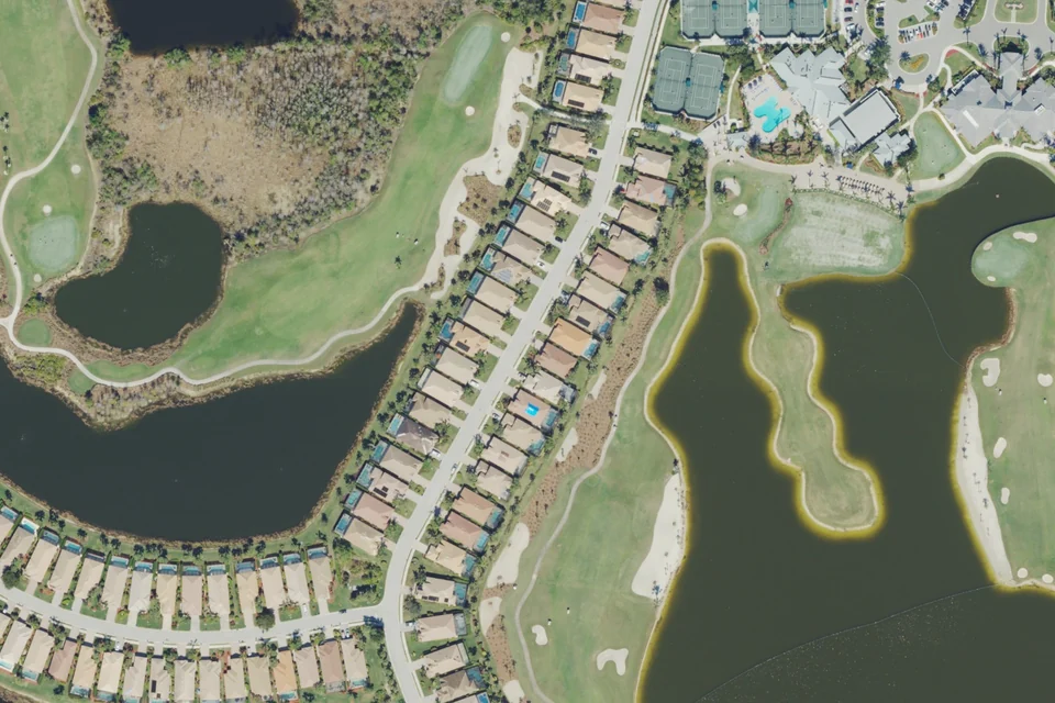
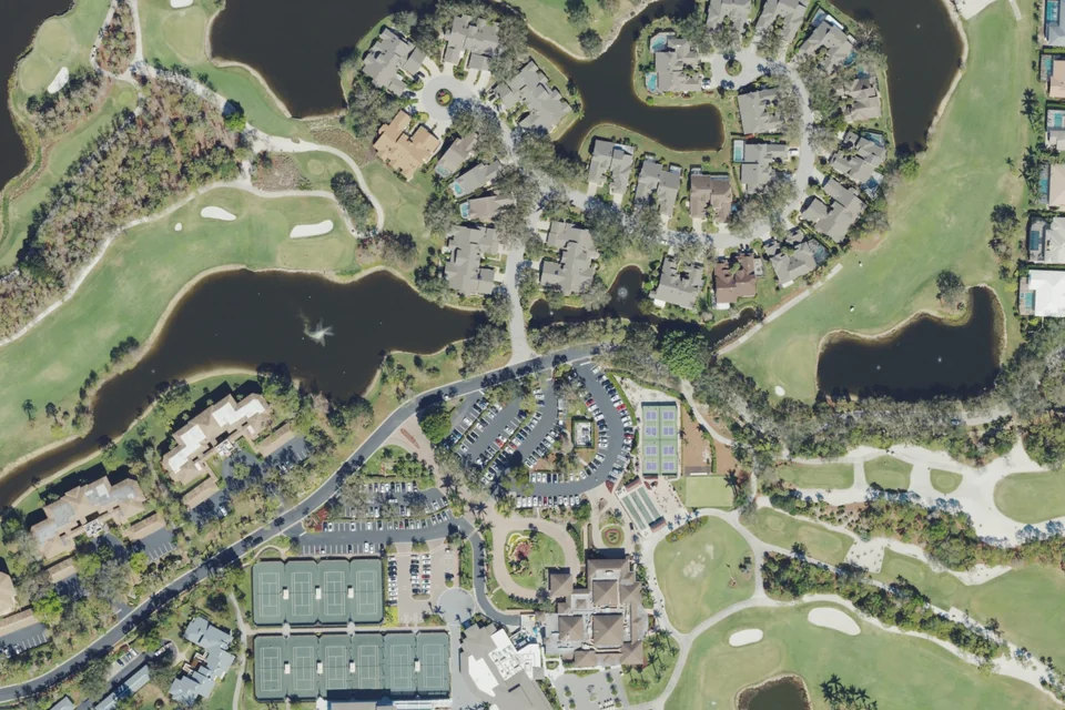
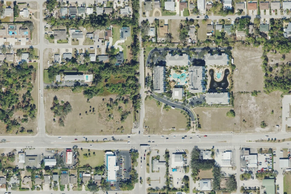
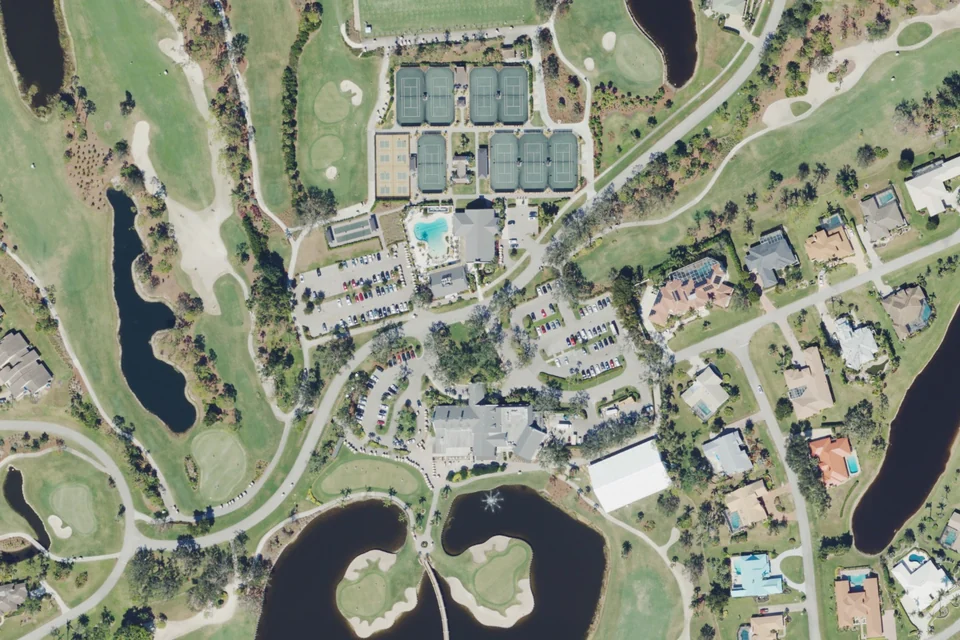
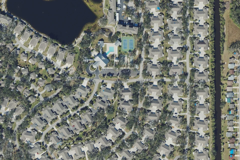
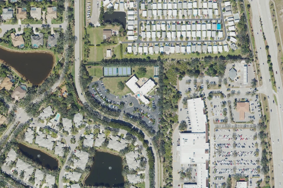
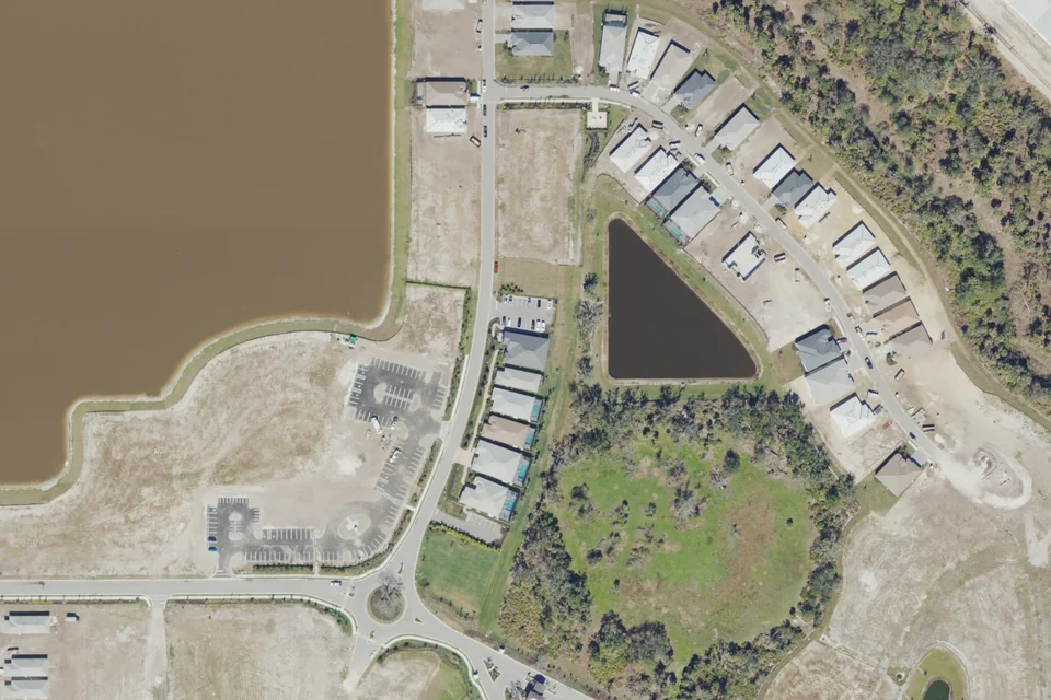
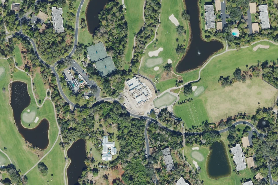
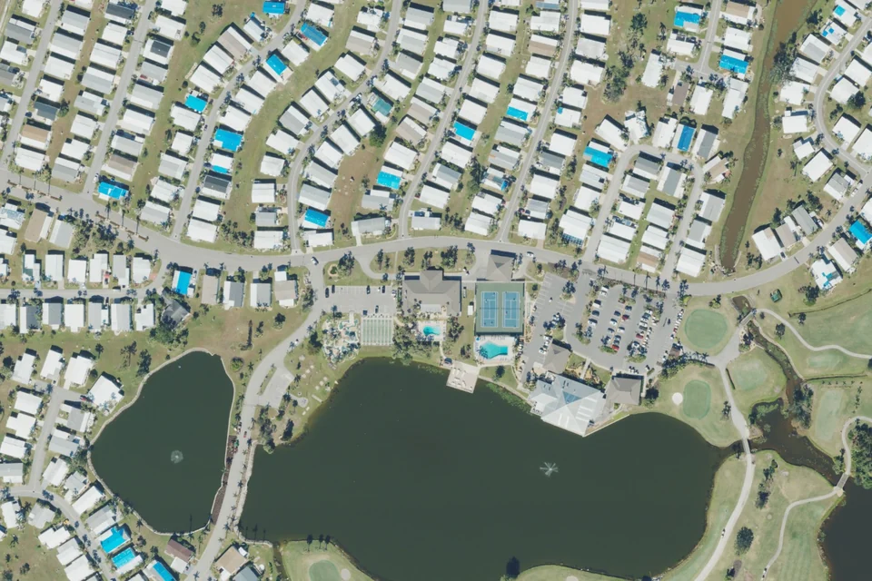
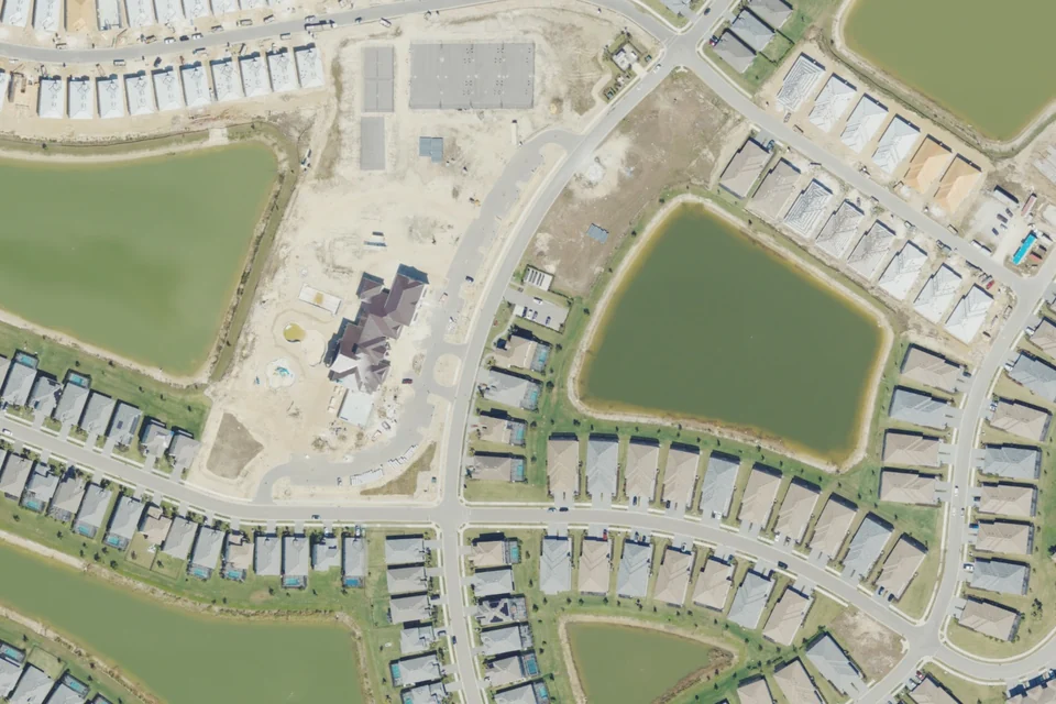
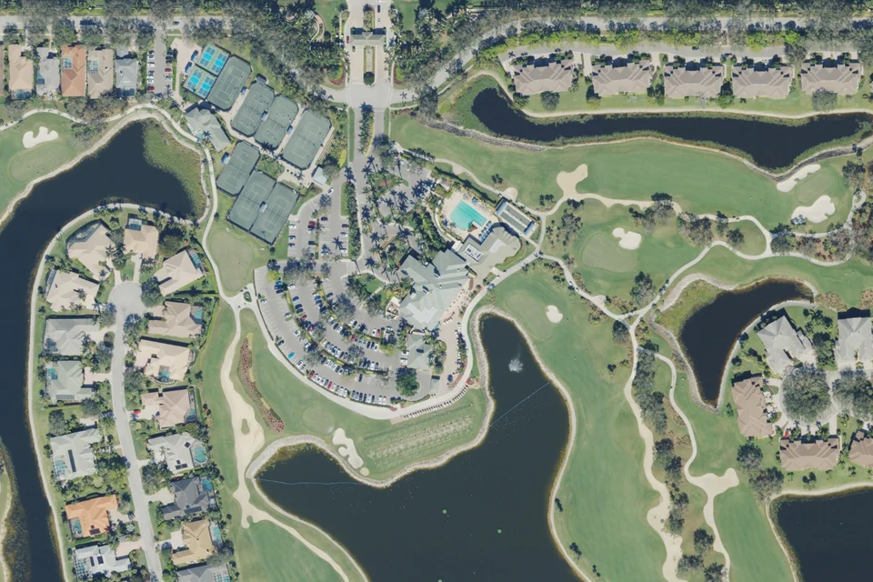
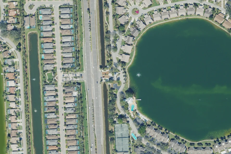
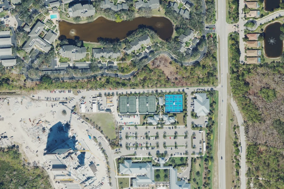
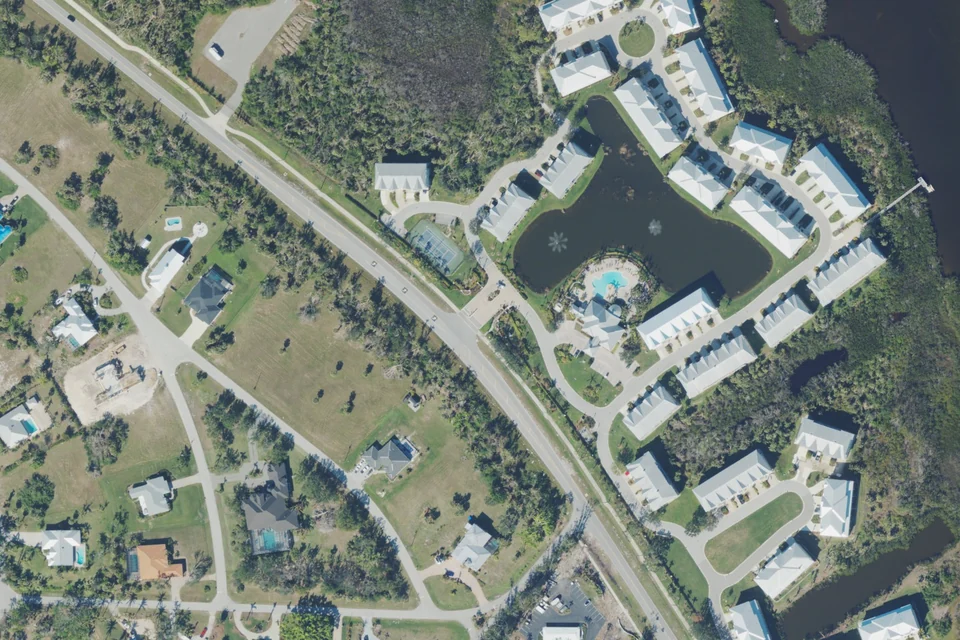
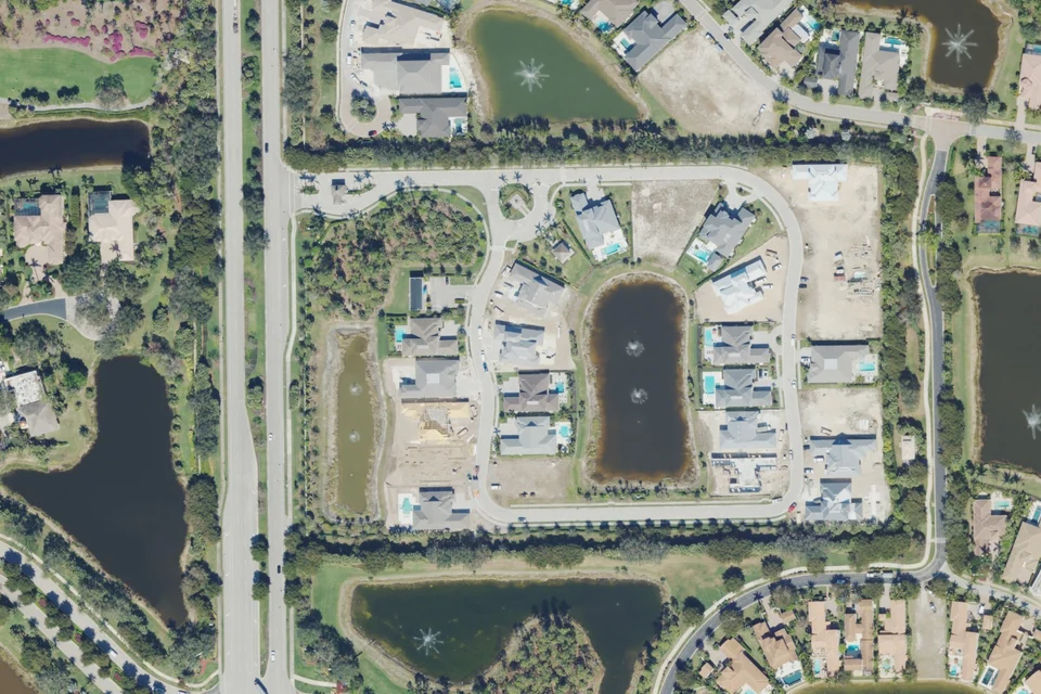
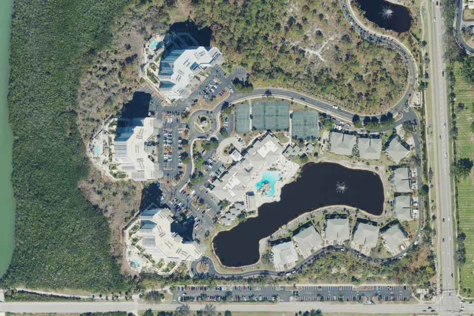
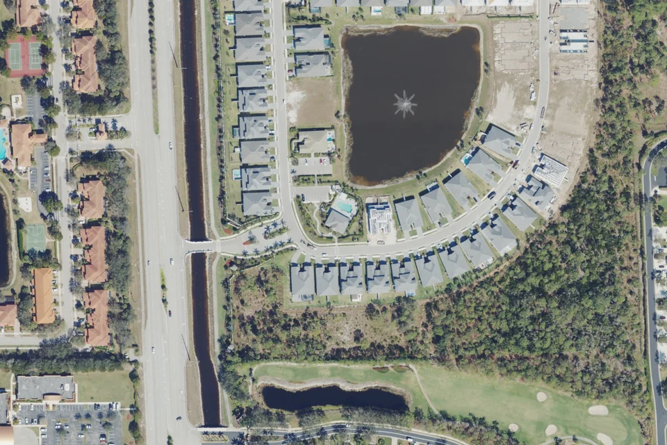
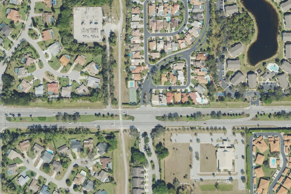
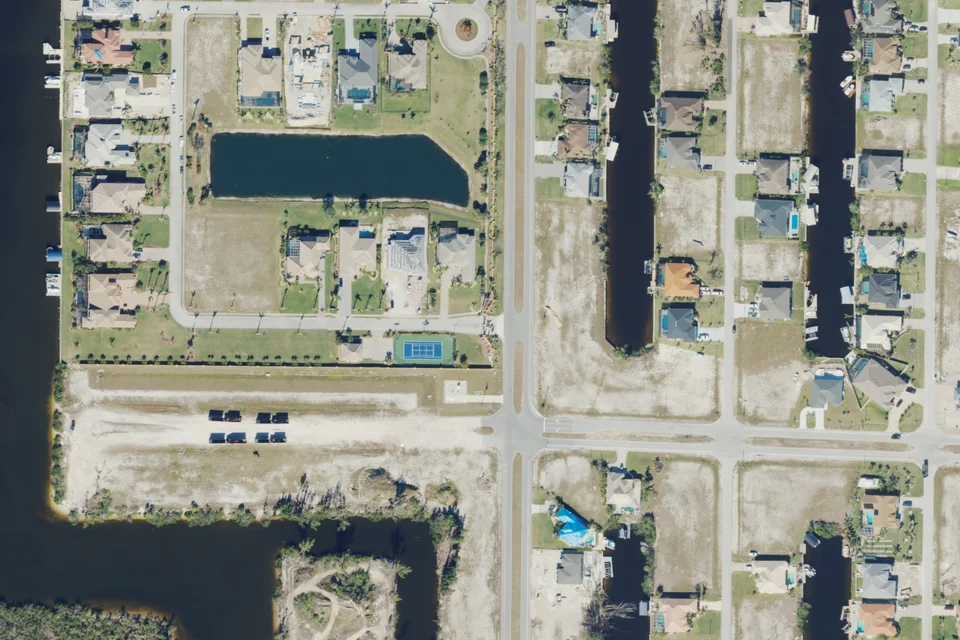
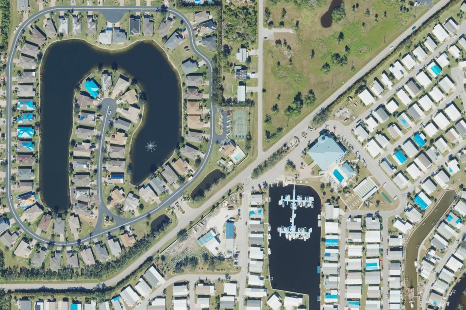
Actual 2023 aerial area context · USDA NAIP / USGS. Not a boundary map; current conditions may differ.
Fort Myers
Lexington Country Club
Estate and single-family homes, villas and condominium neighborhoods; confirm the property's exact subtype in its association documents.
Golf Village and Lake Village have different golf priorities and charges. The official declaration gives Golf Village priority tee times and provides for golf village assessments in place of greens fees; Lake Village golf may involve greens/cart fees. Confirm current village designation, booking rules and all property-specific charges before purchase.
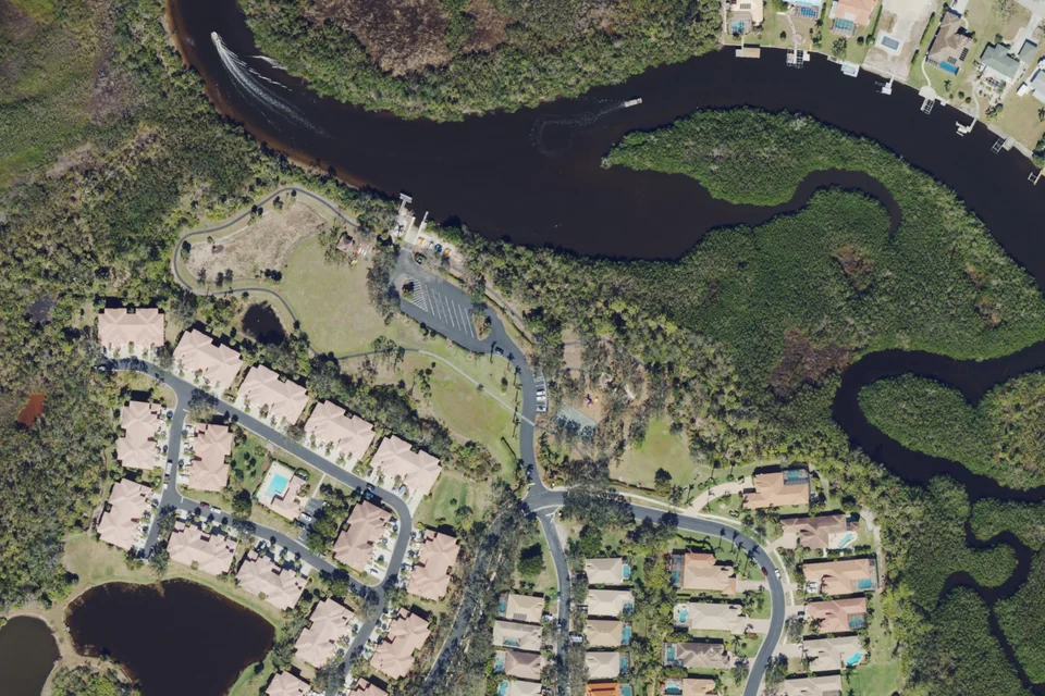
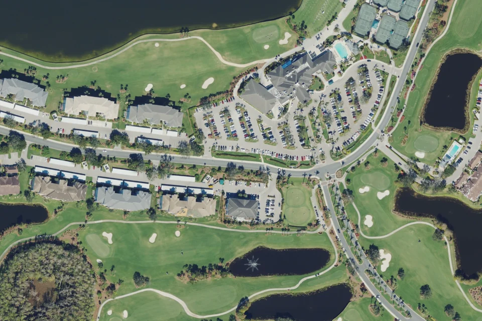
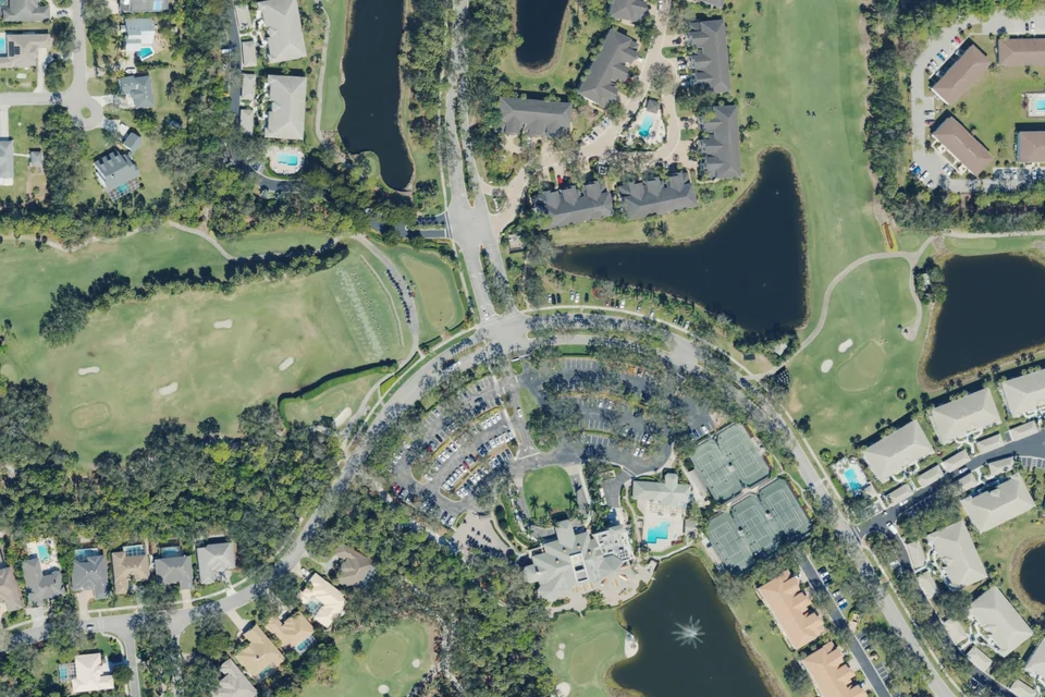
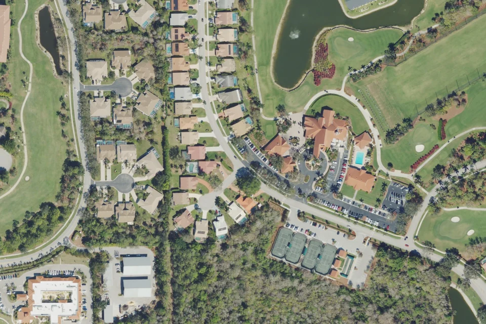
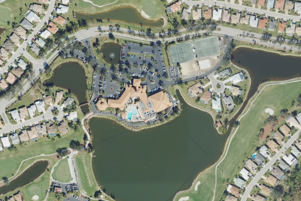
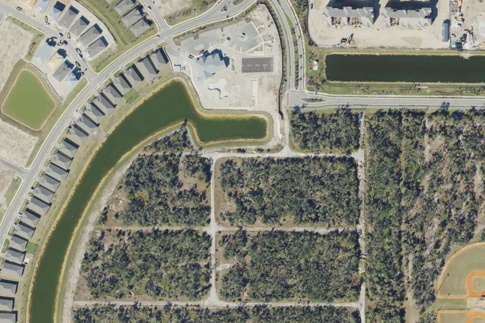
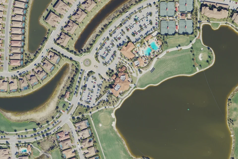
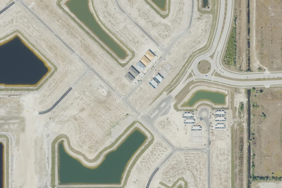
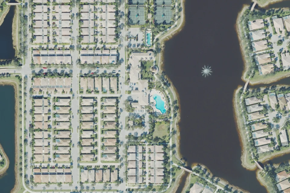
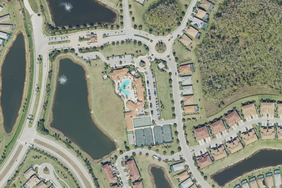
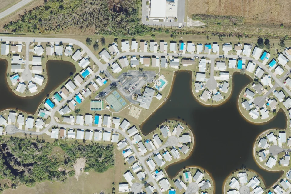
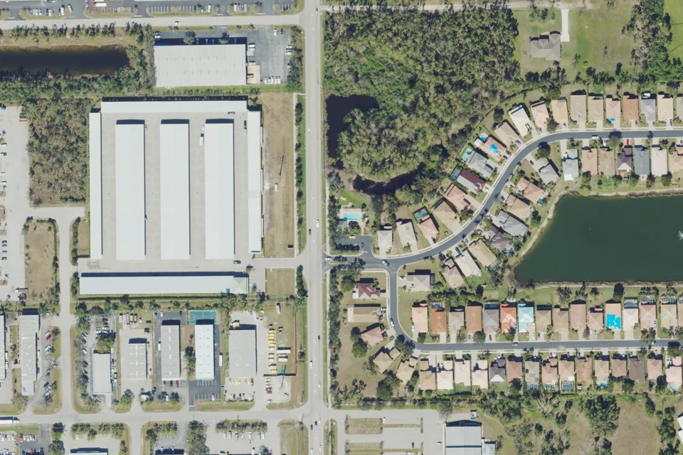
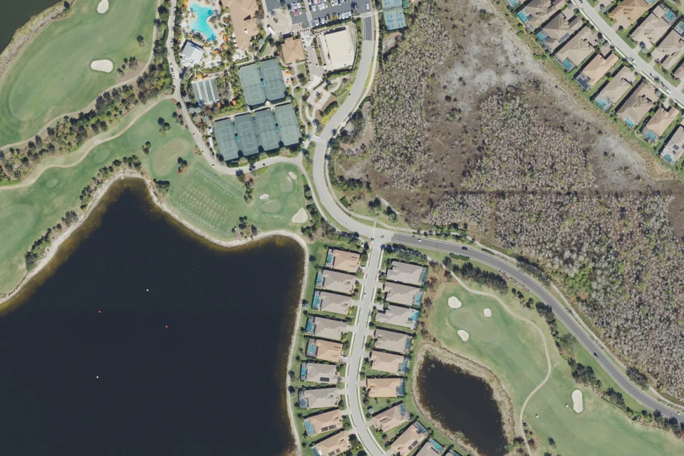
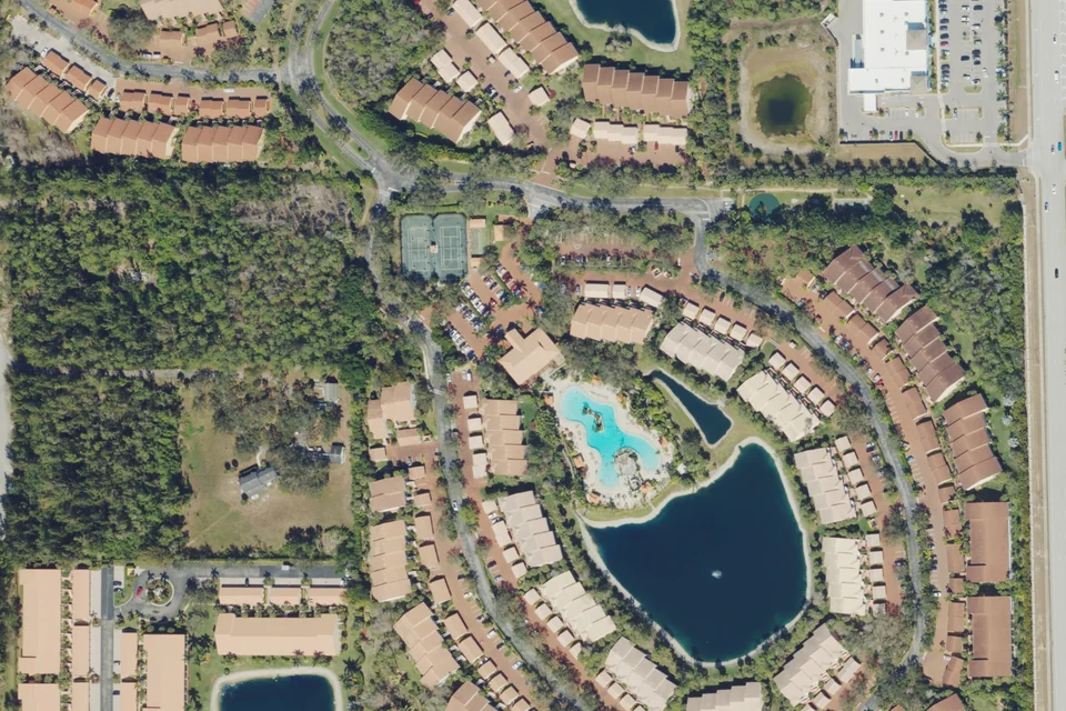
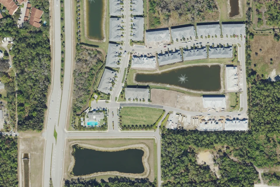
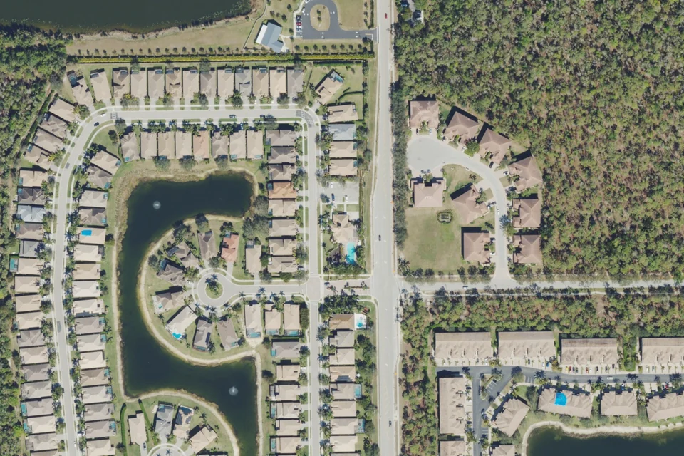
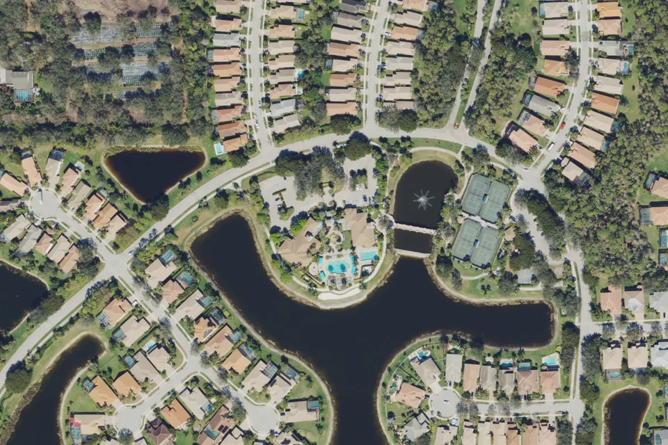
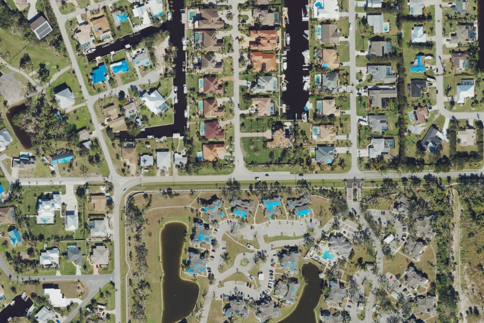
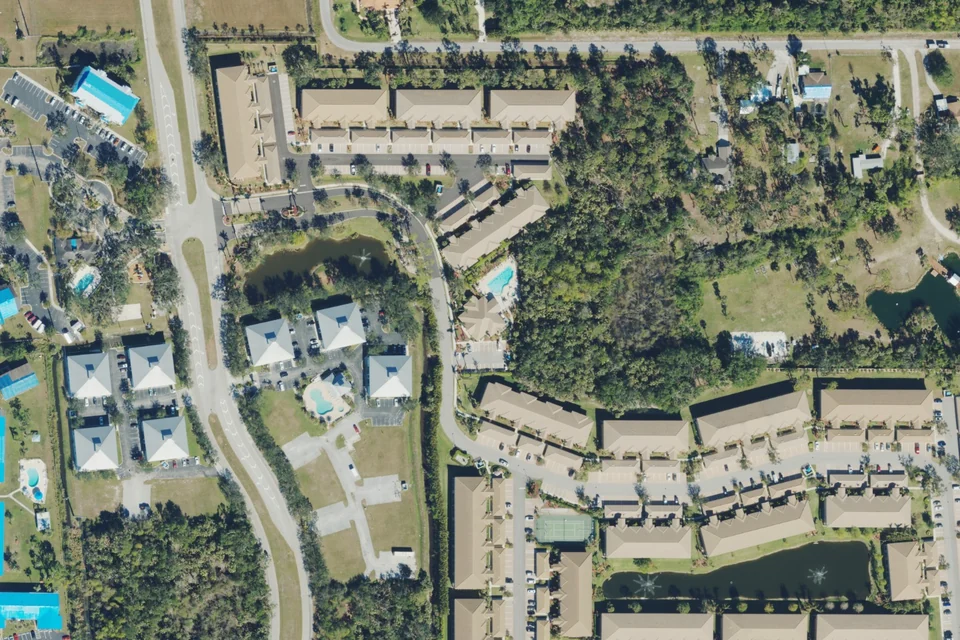
Actual 2023 aerial area context · USDA NAIP / USGS. Not a boundary map; current conditions may differ.
Fort Myers
Cinnamon Cove
Homes, villas and terraced condominium residences.
Clubhouse, pools, fitness and court sports are described by the master association. Confirm amenities and occupancy rules for the property, including whether any golf privileges are included.
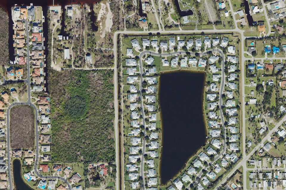
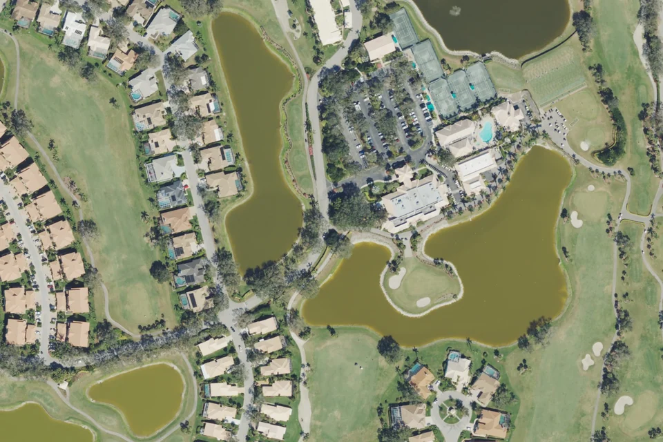
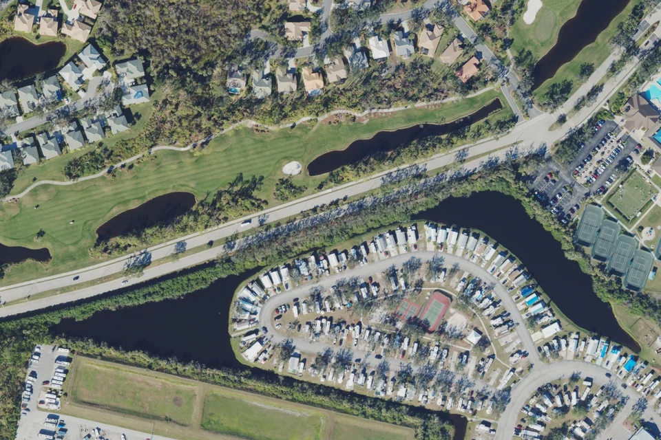
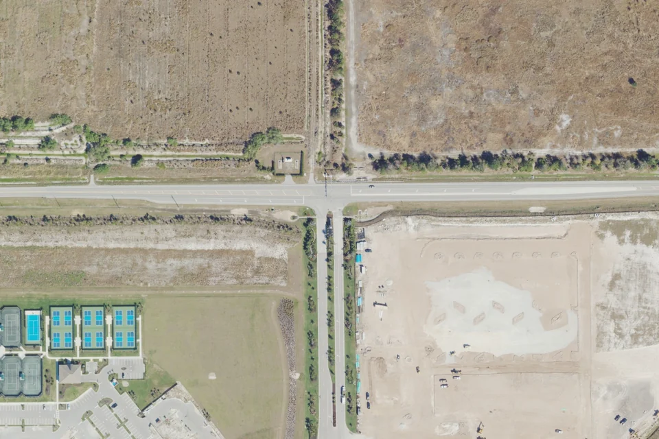
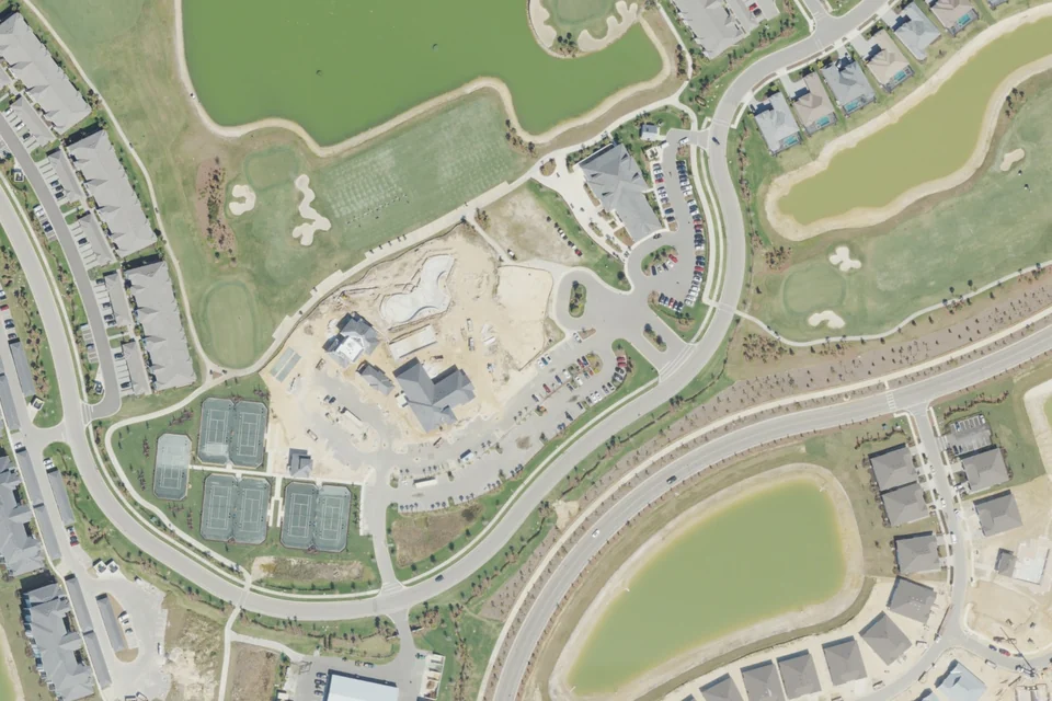
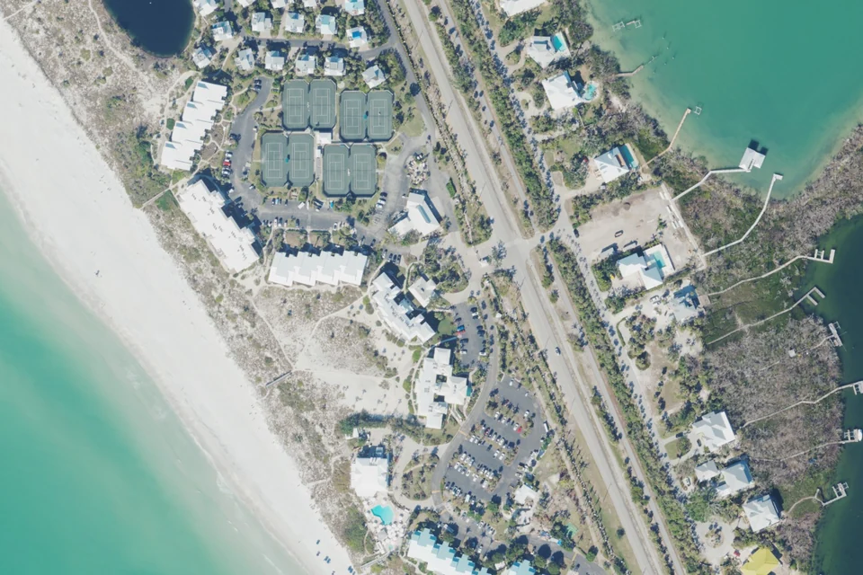
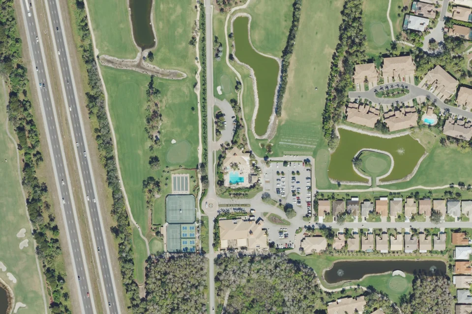
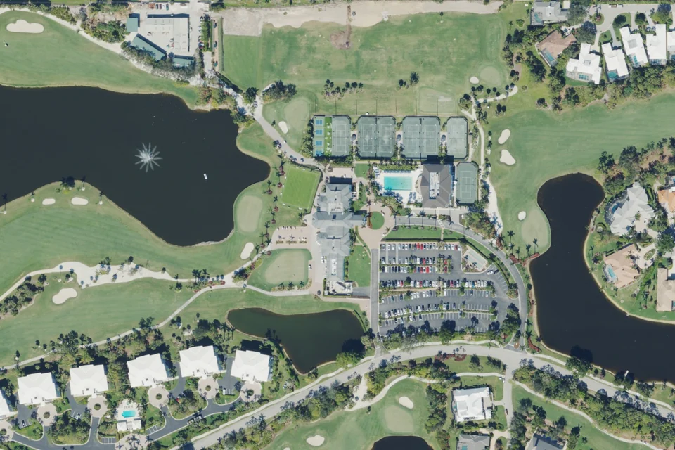
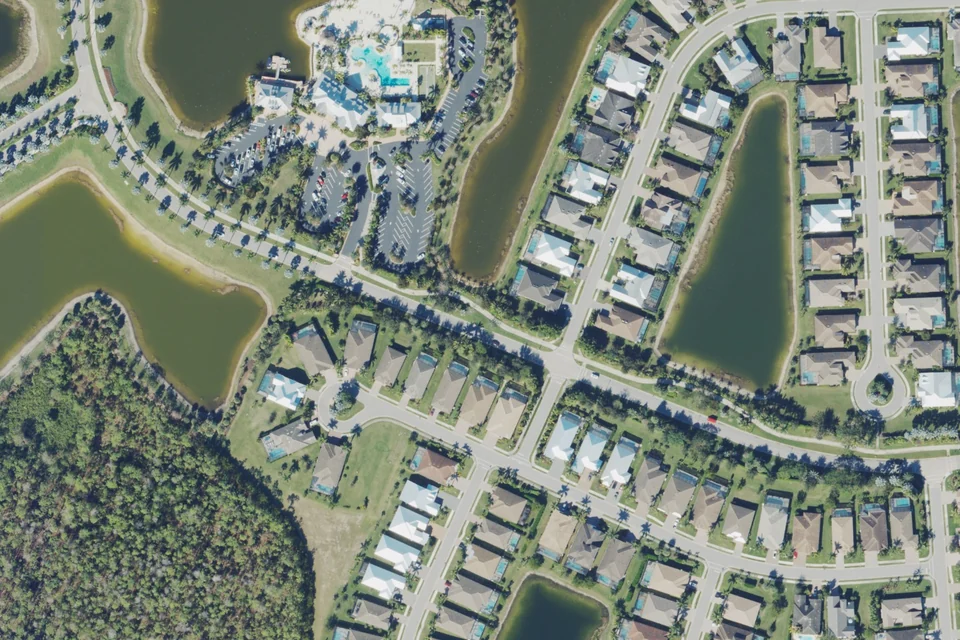
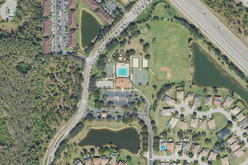
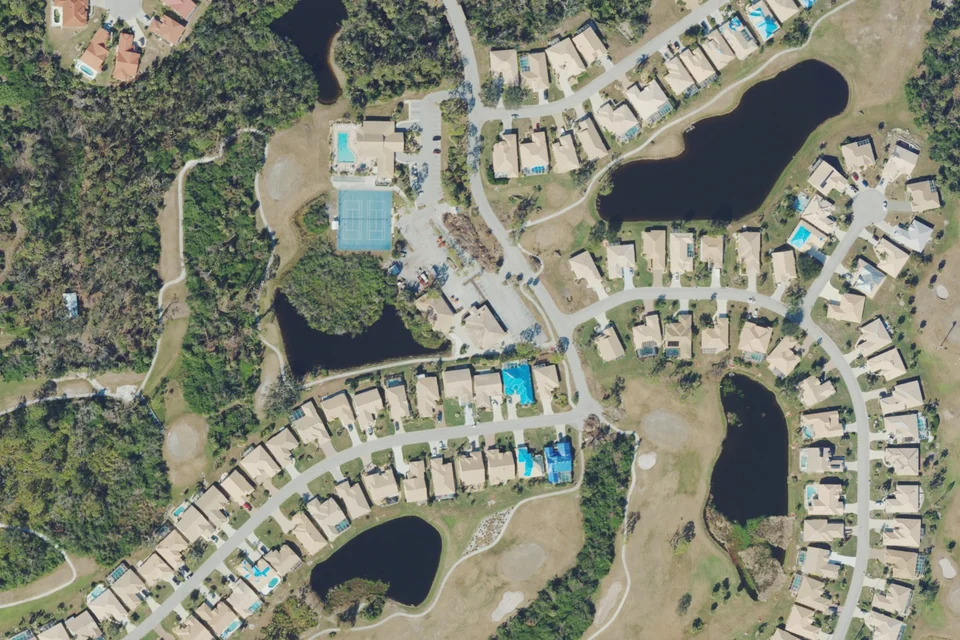
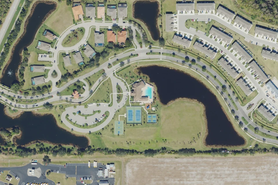
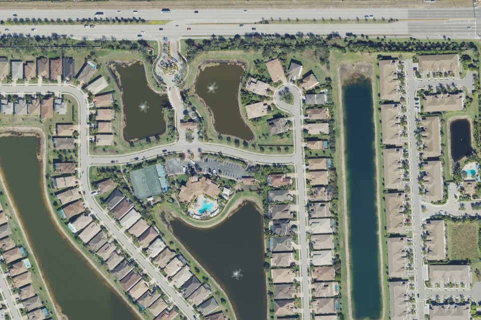
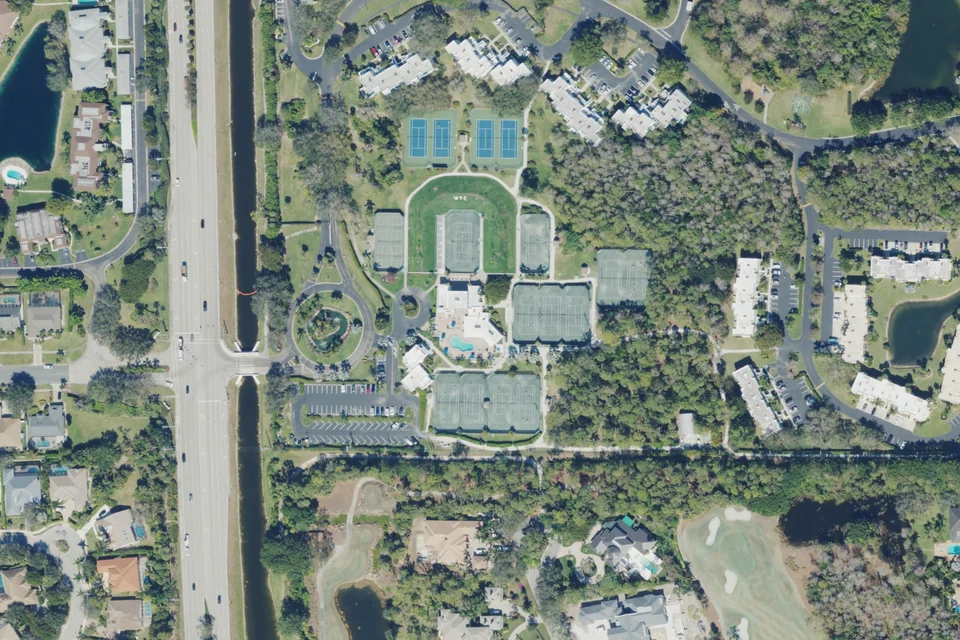
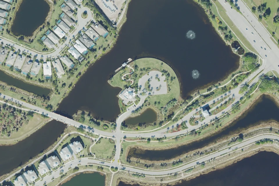
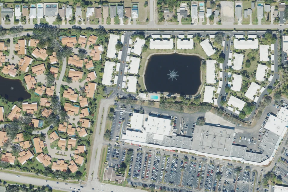
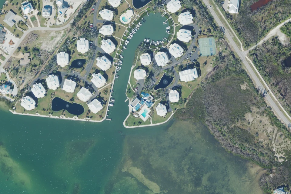
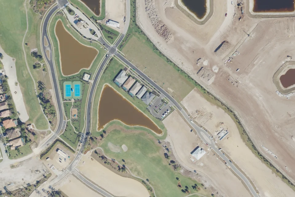
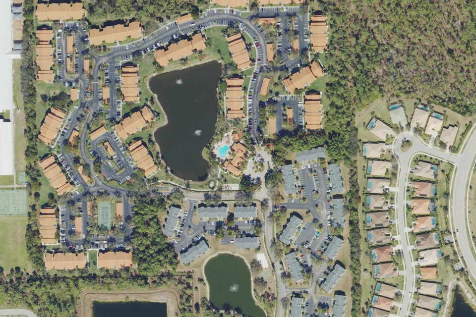
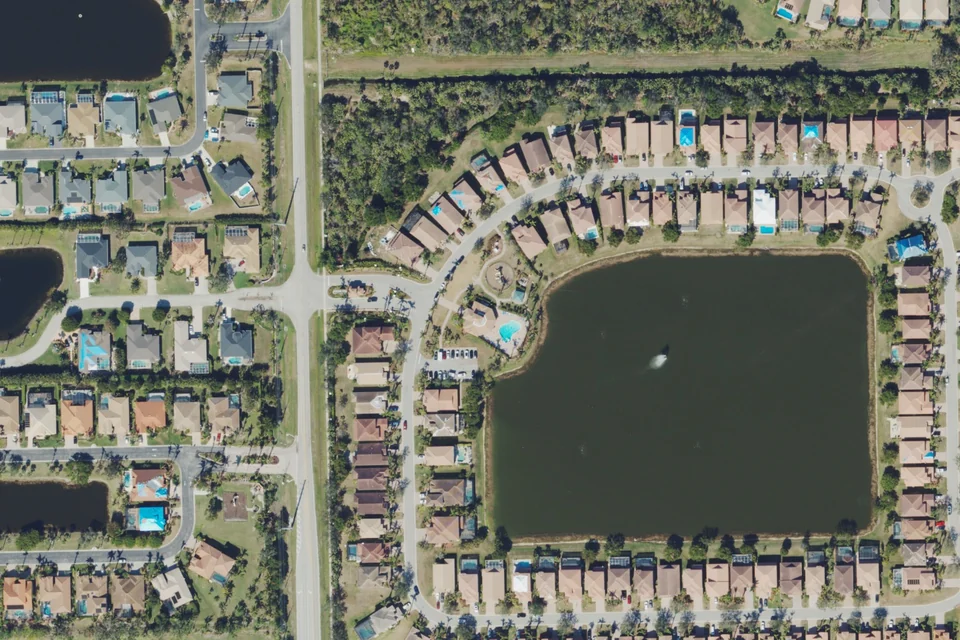
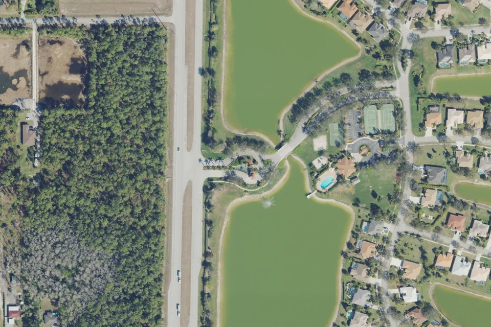
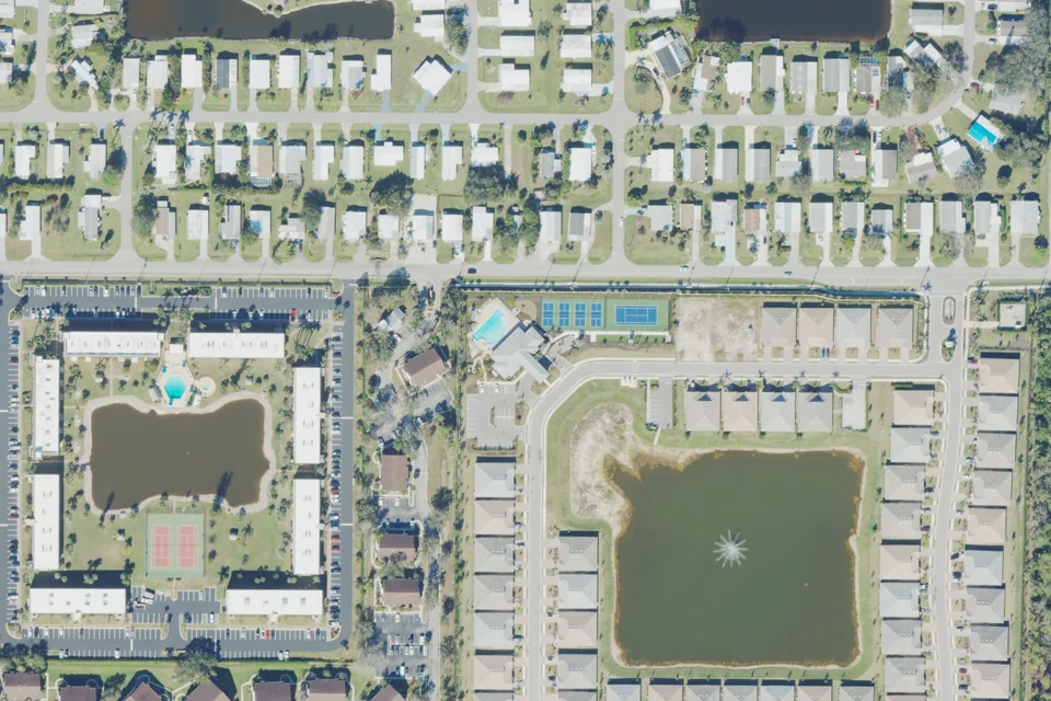
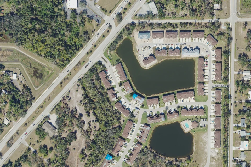
Actual 2023 aerial area context · USDA NAIP / USGS. Not a boundary map; current conditions may differ.
The club describes golf and country-club membership as bundled with ownership. Ongoing master charges and local association costs still apply; verify current terms and transfer requirements.
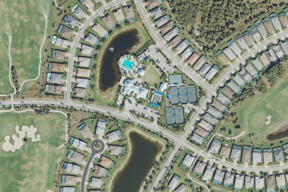
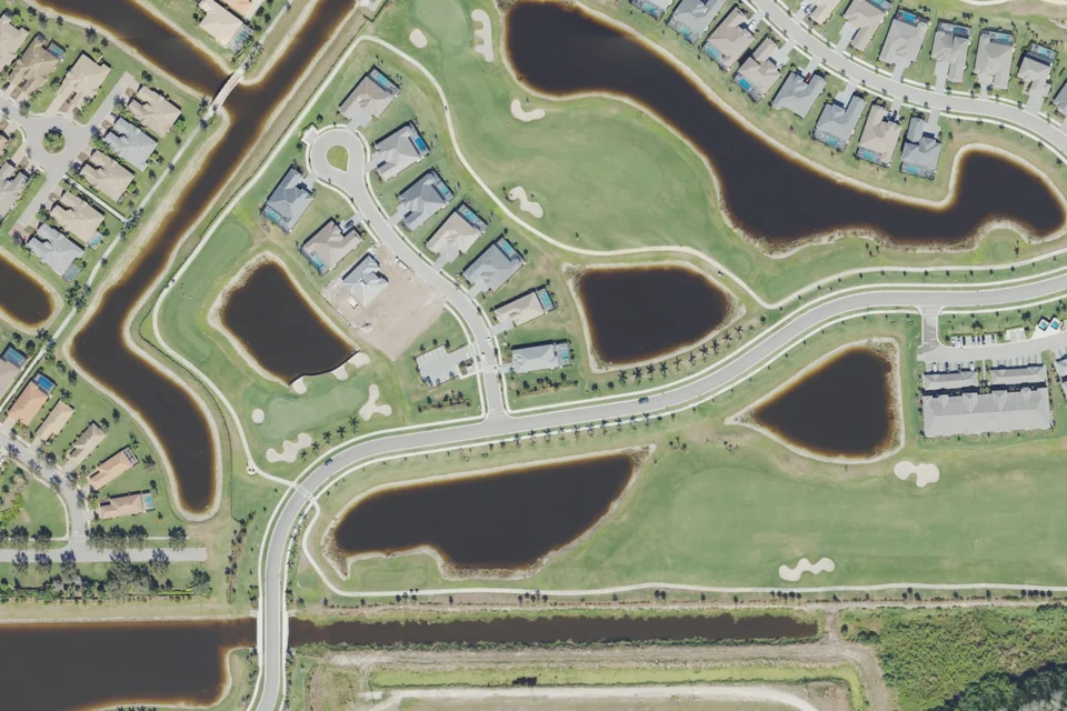
Azure at Bonita Bay · retained developer photograph, used with permission as credited in the existing guide.
Bonita Springs
Bonita Bay
Single-family homes, coach homes, villas and high-rise residences.
Ownership includes association membership. Bonita Bay Club is separate; golf is not automatically bundled with a condo purchase. Marina services may carry additional fees.
5 building guides inside
The Colony residential area from above
Actual aerial photograph · 2023-02-13. Area context, not a neighborhood boundary map; current conditions may differ.
Natural-color export, resized and converted to WebP. No AI synthesis, invented scene or added signage. Address location is approximate; no surveyed boundary is implied.
Bonita Springs
The Colony at Pelican Landing
High-rise and mid-rise condos, coach homes, golf villas and single-family homes.
Resident Bay Club dining is distinct from optional Colony Golf & Country Club membership. Confirm current Golf, Sports and waiting-program terms directly with the club.
4 building guides inside
Miromar Lakes beach-club area from above
Actual aerial photograph · 2023-02-14. Area context, not a neighborhood boundary map; current conditions may differ.
Natural-color export, resized and converted to WebP. No AI synthesis, invented scene or added signage. Address location is approximate; no surveyed boundary is implied.
Miromar Lakes / Estero-Fort Myers area
Miromar Lakes Beach & Golf Club
Custom single-family homes, freshwater beachfront estates and coach homes.
Official materials describe golf membership as optional. Verify the home’s beach, club and golf transfer rights; new-construction offers may differ from resale terms.
West Bay Club residential area from above
Actual aerial photograph · 2023-02-13. Area context, not a neighborhood boundary map; current conditions may differ.
Natural-color export, resized and converted to WebP. No AI synthesis, invented scene or added signage. Address location is approximate; no surveyed boundary is implied.
Estero
West Bay Club
Single-family and estate homes, villas, low-rise condos and Jasmine Bay towers.
Community amenities and Golf Club privileges are separate considerations. Confirm current membership and Member-in-Waiting terms before relying on golf access.
Caloosa Creek area from above
Actual dated aerial area context. Photographed Jan 16, 2023. Boundaries are not shown; current conditions may differ.
Photo credit & license
USDA Farm Service Agency · USGS The National Map · Photo source · Public domain (NAIP). Actual aerial photography, exported in natural color, resized and converted to WebP. No AI synthesis or scene alteration. Locate this image area on a map · Location reference. Address geocoding is approximate; no parcel or neighborhood outline is implied.
Fort Myers
Caloosa Creek
Detached homes on individual home sites; the original developer describes 98 home sites around an 11-acre lake.
A residential association review is distinct from any outside golf, beach or boating membership. A neighborhood lake view does not establish a Gulf-access dock or private beach entitlement.
McGregor Reserve area from above
Actual dated aerial area context. Photographed Jan 29, 2023 & Feb 13, 2023. Boundaries are not shown; current conditions may differ.
Photo credit & license
USDA Farm Service Agency · USGS The National Map · Photo source · Public domain (NAIP). Actual aerial photography, exported in natural color, resized and converted to WebP. No AI synthesis or scene alteration. Locate this image area on a map · Location reference. Address geocoding is approximate; no parcel or neighborhood outline is implied.
Fort Myers
McGregor Reserve
Residential homes on individual lots governed by the community association's recorded covenants.
Community association responsibilities and facility rules apply separately from each homeowner's maintenance and insurance. A gate or common-area insurance document is not proof of the home's own coverage or a security guarantee.
Coconut Creek area from above
Actual dated aerial area context. Photographed Jan 16, 2023. Boundaries are not shown; current conditions may differ.
Photo credit & license
USDA Farm Service Agency · USGS The National Map · Photo source · Public domain (NAIP). Actual aerial photography, exported in natural color, resized and converted to WebP. No AI synthesis or scene alteration. Locate this image area on a map · Location reference. Address geocoding is approximate; no parcel or neighborhood outline is implied.
Fort Myers
Coconut Creek
Detached single-family homes. The original developer describes 123 home sites in a gated, two-lake neighborhood.
Neighborhood amenities belong in the HOA-document review. No bundled golf, private Gulf beach, marina slip or reciprocal club entitlement is established by the developer's public description.
The Landings Yacht, Golf & Tennis Club area from above
Actual dated aerial area context. Photographed Jan 29, 2023. Boundaries are not shown; current conditions may differ.
Photo credit & license
USDA Farm Service Agency · USGS The National Map · Photo source · Public domain (NAIP). Actual aerial photography, exported in natural color, resized and converted to WebP. No AI synthesis or scene alteration. Locate this image area on a map · Location reference. Address geocoding is approximate; no parcel or neighborhood outline is implied.
Fort Myers
The Landings Yacht, Golf & Tennis Club
A collection of condominium and homeowner associations. Association and building obligations vary with the exact property.
The club describes bundled amenities for members and separate non-resident associate memberships. Confirm the home's resident membership obligations, transfer terms and privileges through the purchase contract, association documents and club. Homeownership does not guarantee a specific marina slip.
Colonial Country Club area from above
Actual aerial photograph · 2023-02-14. Area context, not a community boundary map; current conditions may differ.
Natural-color export, resized and converted to WebP. No AI synthesis or scene alteration. Address geocoding is approximate; no surveyed boundary is implied.
Fort Myers
Colonial Country Club
Estate/single-family homes, twin villas, carriage homes and condominiums.
Homeownership includes club membership, but Golf Village and Lakes Village rights differ. Golf properties have golf-priority privileges; Lakes properties have social/recreation access and pay-as-you-play golf subject to availability. The official membership page states Lakes membership cannot be upgraded to Golf membership. The CDD is a separate local government handling infrastructure, not the club or HOA.
Heritage Palms Golf & Country Club area from above
Actual aerial photograph · 2023-02-13. Area context, not a community boundary map; current conditions may differ.
Natural-color export, resized and converted to WebP. No AI synthesis or scene alteration. Address geocoding is approximate; no surveyed boundary is implied.
Fort Myers
Heritage Palms Golf & Country Club
Twin villas, veranda and terrace condominiums, single-family homes and estate homes across multiple neighborhood associations.
Official club materials describe bundled membership and golf privileges included with homeownership. Neighborhood associations can impose additional rules and charges. Heritage Palms CDD and the master HOA are separate: the district maintains roads, sidewalks, conservation and stormwater infrastructure; the HOA handles common property, covenant/architectural matters and operates the guardhouse by agreement.
Wildcat Run Golf & Country Club area from above
Actual aerial photograph · 2023-02-14. Area context, not a community boundary map; current conditions may differ.
Natural-color export, resized and converted to WebP. No AI synthesis or scene alteration. Address geocoding is approximate; no surveyed boundary is implied.
Estero
Wildcat Run Golf & Country Club
Estate/single-family homes, detached and attached villas, carriage homes and condominiums.
The country club and Master Community Association are independent governing bodies. Official HOA FAQ says at least one owner of each lot/unit must be a Social Member of the club; this does not establish automatic full golf privileges. The master association manages common areas and gates; some properties also have a local association with separate rules and costs.
Worthington Country Club area from above
Actual aerial photograph · 2023-02-14. Area context, not a community boundary map; current conditions may differ.
Natural-color export, resized and converted to WebP. No AI synthesis or scene alteration. Address geocoding is approximate; no surveyed boundary is implied.
Bonita Springs
Worthington Country Club
Estate homes, villas, condominiums and carriage homes.
Official club materials describe a member-owned bundled golf community where homeowners have golf privileges. The real-estate page separately lists club and HOA fee schedules and nine local communities: bundled golf does not mean one identical total cost or free use. Confirm exact association and current closing/transfer charges.
Dated aerial area contextJonathan Harbour area from above
A dated aerial view of the area and surrounding streets. Neighborhood boundaries are not marked; current conditions may differ.
Photographed Jan 16, 2023.
Photo credit & license
USDA Farm Service Agency · USGS The National Map · Photo source · Public domain (NAIP). Actual aerial photography, exported in natural color, resized and converted to WebP. No AI synthesis or scene alteration. Locate this image area on a map · Location reference. Address geocoding is approximate; no parcel or neighborhood outline is implied.
Fort Myers
Jonathan Harbour
Residential homes/lots and an associated townhome community; verify exact legal ownership and association structure for the chosen property.
Verify community-association membership, townhome obligations and amenity eligibility for the exact property. A waterfront location or community association membership does not itself establish a deeded dock/slip, suitable vessel access or club privilege. Confirm any golf membership separately.
Wyndemere area from above
Actual aerial photograph · 2023-02-14. Area context, not a community boundary map; current conditions may differ.
Natural-color export, resized and converted to WebP. No AI synthesis or scene alteration. Address geocoding is approximate; no surveyed boundary is implied.
The club states that every homeowner is a Wyndemere Country Club member. The master HOA, exact neighborhood association and club documents should be reviewed together; the applicable membership category and obligations require confirmation for the purchase.
Stonebridge Country Club area from above
Actual aerial photograph · 2023-02-14. Area context, not a community boundary map; current conditions may differ.
Natural-color export, resized and converted to WebP. No AI synthesis or scene alteration. Address geocoding is approximate; no surveyed boundary is implied.
Naples
Stonebridge Country Club
Garden homes, coach homes, attached and detached villas and single-family estate homes across ten neighborhoods.
The official club describes membership and golf privileges as included with home ownership. Stonebridge combines country-club and HOA functions in a Common Interest Realty Association; neighborhood obligations are additional. Its official ownership page explicitly states that Stonebridge has no CDD.
Heritage Landing Golf & Country Club area from above
Actual aerial photograph · 2023-01-16. Area context, not a community boundary map; current conditions may differ.
Natural-color export, resized and converted to WebP. No AI synthesis or scene alteration. Address geocoding is approximate; no surveyed boundary is implied.
Punta Gorda
Heritage Landing Golf & Country Club
Single-family and multifamily homes. Lennar's historical release lists terrace condominiums, coach homes and manor homes.
Community amenities, golf rights, master-association obligations, condominium obligations where applicable and Tern Bay CDD responsibilities are distinct matters. Confirm the exact property's golf or social entitlement in its purchase and club documents; do not assume every residence has identical golf rights.
Seminole Lakes area from above
Actual aerial photograph · 2023-01-16. Area context, not a community boundary map; current conditions may differ.
Natural-color export, resized and converted to WebP. No AI synthesis or scene alteration. Address geocoding is approximate; no surveyed boundary is implied.
Punta Gorda
Seminole Lakes
450 residential homes, according to the POA; confirm the selected property's legal housing form.
Seminole Lakes Property Owners Association explicitly identifies Seminole Lakes Golf & Country Club as a separate organization. Home ownership should not be presented as including golf or tennis membership.
Riverwood area from above
Actual aerial photograph · 2023-01-16. Area context, not a community boundary map; current conditions may differ.
Natural-color export, resized and converted to WebP. No AI synthesis or scene alteration. Address geocoding is approximate; no surveyed boundary is implied.
Port Charlotte
Riverwood
Condominiums, villas, single-family and estate homes across distinct neighborhoods.
The private Riverwood Community Association and governmental Riverwood CDD have different roles. The CDD is funded through county tax assessments; water and sewer are billed separately. Golf is separately operated, while the off-site beach club has separate membership and transfer rules.
The Quarry area from above
Actual aerial photograph · 2023-02-14. Area context, not a community boundary map; current conditions may differ.
Natural-color export, resized and converted to WebP. No AI synthesis or scene alteration. Address geocoding is approximate; no surveyed boundary is implied.
Naples
The Quarry
Single-family and multifamily residences, as identified in the district's 2023 engineering material.
The Quarry Community Association's Beach Club, Quarry CDD and The Quarry Golf Club are distinct organizations/functions. The golf club has its own membership process. Confirm the residence's association rights and any separate golf or boat-slip arrangement rather than treating all amenities as bundled.
Verandah area from above
Actual aerial photograph · 2023-02-14. Area context, not a community boundary map; current conditions may differ.
Natural-color export, resized and converted to WebP. No AI synthesis or scene alteration. Address geocoding is approximate; no surveyed boundary is implied.
Fort Myers
Verandah
Single-family homes are listed by Neal Communities; confirm other property types in their association documents.
The community association, neighborhood associations, club membership and Verandah East/West CDD responsibilities are separate. The official membership page specifically warns that some properties do not hold club membership rights; confirm the selected property directly with the club. Golf, fitness and pool access require membership. Do not describe all ownership as automatically including full golf.
Bella Terra area from above
Actual aerial photograph · 2023-02-14. Area context, not a community boundary map; current conditions may differ.
Natural-color export, resized and converted to WebP. No AI synthesis or scene alteration. Address geocoding is approximate; no surveyed boundary is implied.
Estero
Bella Terra
Single-family homes, condominiums, villas and townhomes, with separate associations.
The Master Association, property-type subassociation and Habitat CDD perform different roles. Public infrastructure and CDD roads are distinct from private amenity rights; August 2026 CDD minutes expressly describe a gated community with public streets. Do not equate a gate with wholly private roads or unrestricted amenity access.
Olympia Pointe area from above
Actual aerial photograph · 2023-02-14. Area context, not a community boundary map; current conditions may differ.
Natural-color export, resized and converted to WebP. No AI synthesis or scene alteration. Address geocoding is approximate; no surveyed boundary is implied.
Community-association amenities; confirm any separate golf or marina membership. Match the townhome or single-family property to its exact maintenance and assessment responsibilities.
Bonita Village area from above
Actual aerial photograph · 2023-02-13. Area context, not a community boundary map; current conditions may differ.
Natural-color export, resized and converted to WebP. No AI synthesis or scene alteration. Address geocoding is approximate; no surveyed boundary is implied.
Bonita Springs
Bonita Village
Condominium residences; identify the exact building and condominium association.
Condominium ownership, amenity use and optional rental-management services require separate review. Official marketing describes weekly and longer rentals, but buyers must obtain current association restrictions and applicable local rules. Beach shuttle access does not establish deeded beachfront or boat access.
Foxfire Golf & Country Club area from above
Actual aerial photograph · 2023-02-14. Area context, not a community boundary map; current conditions may differ.
Natural-color export, resized and converted to WebP. No AI synthesis or scene alteration. Address geocoding is approximate; no surveyed boundary is implied.
Naples
Foxfire Golf & Country Club
Single-family homes, attached villas, veranda residences and condominiums.
The current official club describes Foxfire as bundled, with club membership included when a residence is purchased. The community association and neighborhood associations have distinct obligations; confirm the exact home's closing and recurring costs and any tenant delegation of privileges.
Glen Eagle Golf & Country Club area from above
Actual aerial photograph · 2023-02-14. Area context, not a community boundary map; current conditions may differ.
Natural-color export, resized and converted to WebP. No AI synthesis or scene alteration. Address geocoding is approximate; no surveyed boundary is implied.
Naples
Glen Eagle Golf & Country Club
Condominiums, villas and private homes across fifteen neighborhoods.
The property determines Golf or Social membership. The official club explicitly says a socially deeded home cannot be changed to a golf membership. Master-association and exact neighborhood obligations should be reviewed together.
Heritage Bay Golf & Country Club area from above
Actual aerial photograph · 2023-02-14. Area context, not a community boundary map; current conditions may differ.
Natural-color export, resized and converted to WebP. No AI synthesis or scene alteration. Address geocoding is approximate; no surveyed boundary is implied.
Naples
Heritage Bay Golf & Country Club
Single-family homes, coach homes, terraces and verandas, with separate neighborhood associations identified by the club.
The official club states that home buyers become club members through ownership in this bundled community. Neighborhood associations, the club/master association and Heritage Bay CDD have different roles. Tenant amenity transfers require separate neighborhood lease approval.
Island Walk area from above
Actual aerial photograph · 2023-02-14. Area context, not a community boundary map; current conditions may differ.
Natural-color export, resized and converted to WebP. No AI synthesis or scene alteration. Address geocoding is approximate; no surveyed boundary is implied.
Naples
Island Walk
Villas and homes in several model types. Buyers should confirm each property's legal form and configuration rather than infer condominium status from an attached design.
Island Walk's HOA manages community facilities and gate access. Shops, dining, personal services and fuel at Town Center are separate commercial services, not a promise of free services with HOA ownership. No golf-course entitlement is represented.
Countryside Golf & Country Club area from above
Actual aerial photograph · 2023-02-14. Area context, not a community boundary map; current conditions may differ.
Natural-color export, resized and converted to WebP. No AI synthesis or scene alteration. Address geocoding is approximate; no surveyed boundary is implied.
Naples
Countryside Golf & Country Club
Single-family homes and condominiums in local HOA and condominium associations.
The property's deeded category determines full Golf membership or Social membership with limited golf. Owners belong to a local HOA/condominium association as well as the master association; buyers must confirm the category and its rules for the exact residence.
Verdana Village area from above
Actual aerial photograph · 2023-02-14. Construction-era aerial from 2023. Later homes, landscaping and amenities are not represented as completed in this photograph. Area context, not a community boundary map.
Natural-color export, resized and converted to WebP. No AI synthesis or scene alteration. Address geocoding is approximate; no surveyed boundary is implied.
Estero
Verdana Village
Single-family homes described by the developer; confirm the exact builder, phase and ownership subtype.
Ownership involves the Master Association and applicable Neighborhood 1 or Neighborhood 2 association. V-Dana CDD is a separate infrastructure district, not another name for the HOA. Compare master, neighborhood, irrigation, food-and-beverage and parcel CDD obligations rather than using one generic fee.
Willow Creek area from above
Actual aerial photograph · 2023-01-29. Area context, not a community boundary map; current conditions may differ.
Natural-color export, resized and converted to WebP. No AI synthesis or scene alteration. Address geocoding is approximate; no surveyed boundary is implied.
The Property Owners Association handles community rules, approvals and assessments through its manager. Its document page includes governing records, 2026 rules, plats and the sale application. Verify any separate club membership and district assessments for the property.
Pelican Preserve area from above
Actual aerial photograph · 2023-02-14. Area context, not a community boundary map; current conditions may differ.
Natural-color export, resized and converted to WebP. No AI synthesis or scene alteration. Address geocoding is approximate; no surveyed boundary is implied.
Fort Myers
Pelican Preserve
Single-family, villa, carriage-home or condominium ownership must be confirmed for the exact property and neighborhood association.
The Community Association owns and operates Town Center facilities; local neighborhood associations and Gateway Services CDD have additional roles. Official history says much of the roads, lakes, preserves, infrastructure and guardhouse belong to GSCDD. The golf club offers separate Golf and Social categories; homeownership does not establish included full golf.
SkySail area from above
Actual aerial photograph · 2023-02-14. Construction-era aerial from 2023. Later homes, landscaping and amenities are not represented as completed in this photograph. Area context, not a community boundary map.
Natural-color export, resized and converted to WebP. No AI synthesis or scene alteration. Address geocoding is approximate; no surveyed boundary is implied.
Naples
SkySail
Single-family homes and townhomes are described by the developer. Confirm the exact property’s ownership, maintenance obligations and phase.
The residential developer markets community amenities. Obtain the association documents, current budget and exact amenity rights; confirm any separate golf membership and the property's district status and assessments.
Watermark area from above
Actual aerial photograph · 2023-02-13. Area context, not a community boundary map; current conditions may differ.
Natural-color export, resized and converted to WebP. No AI synthesis or scene alteration. Map location is approximate; no surveyed boundary is implied.
The HOA lists separate assessment schedules for single-family homes and villas. Confirm the chosen property's services, maintenance, any separate club membership and CDD status.
Fiddlesticks Country Club area from above
Actual aerial photograph · 2023-02-13 / 2023-02-14. Area context, not a community boundary map; current conditions may differ.
Natural-color export, resized and converted to WebP. No AI synthesis or scene alteration. Map location is approximate; no surveyed boundary is implied.
Fort Myers
Fiddlesticks Country Club
Condominiums, townhomes and single-family residences.
Club membership is required when purchasing a home. The club also describes non-resident and tennis categories; those are not interchangeable with resident equity ownership. Determine separate neighborhood/condominium obligations for the exact home.
Sandoval area from above
Actual aerial photograph · 2023-01-16. Area context, not a community boundary map; current conditions may differ.
Natural-color export, resized and converted to WebP. No AI synthesis or scene alteration. Map location is approximate; no surveyed boundary is implied.
Cape Coral
Sandoval
Single-family homes and villas; ownership obligations vary by neighborhood.
The Master Association publishes different landscaping packages. Villas1 has a separate association/estoppel contact; neighborhood supplemental declarations apply. Obtain the current property-specific total rather than one generic HOA figure.
Herons Glen area from above
Actual aerial photograph · 2023-01-29. Area context, not a community boundary map; current conditions may differ.
Natural-color export, resized and converted to WebP. No AI synthesis or scene alteration. Map location is approximate; no surveyed boundary is implied.
North Fort Myers
Herons Glen
Residential homes; Fairways, Meadows and Solana have additional sub-associations. Confirm home type and parcel-specific obligations.
Owners belong to both Herons Glen HOA and Herons Glen Recreation District, with separate boards and assessments. Some homes also have a sub-association. Golf membership is a separate category; do not describe it as automatically bundled with every home.
Paseo area from above
Actual aerial photograph · 2023-02-13 / 2023-02-14. Area context, not a community boundary map; current conditions may differ.
Natural-color export, resized and converted to WebP. No AI synthesis or scene alteration. Map location is approximate; no surveyed boundary is implied.
Fort Myers
Paseo
Single-family homes, twin villas and condominium products described as townhomes, flats and casitas.
Owners participate in Master HOA and applicable residential HOA/COA, plus separate Paseo CDD assessments. Master handles amenities; CDD handles public infrastructure, lakes and guardhouse. Property type determines additional maintenance responsibilities.
The Forest area from above
Actual aerial photograph · 2023-02-13. Area context, not a community boundary map; current conditions may differ.
Natural-color export, resized and converted to WebP. No AI synthesis or scene alteration. Map location is approximate; no surveyed boundary is implied.
Fort Myers
The Forest
Confirm the property's single-family, villa or condominium ownership and applicable associations in its documents.
The official club describes the community as non-bundled and offers resident and non-resident memberships. Club rights are separate from owning a home. The Forest Property Owners Association has its own homeowner records and community responsibilities.
Babcock National area from above
Actual aerial photograph · 2023-02-14. Construction-era aerial from 2023. Later homes, landscaping and amenities are not represented as completed in this photograph. Area context, not a community boundary map.
Natural-color export, resized and converted to WebP. No AI synthesis or scene alteration. Map location is approximate; no surveyed boundary is implied.
Babcock Ranch
Babcock National
The original developer lists terrace and veranda condominiums, coach homes, executive homes and estate homes; legal form and responsibilities vary by property.
The community HOA and golf operation publish separately. Verify the specific residence's golf or social privileges and any transfer to tenants; ownership in the wider Babcock Ranch town alone does not establish Babcock National membership. Review neighborhood, any condominium, master Babcock Ranch and special-district obligations separately.
Heritage Lake Park area from above
Actual aerial photograph · 2023-01-16. Area context, not a community boundary map; current conditions may differ.
Natural-color export, resized and converted to WebP. No AI synthesis or scene alteration. Map location is approximate; no surveyed boundary is implied.
Punta Gorda
Heritage Lake Park
Condominiums are documented by Lakeview II's association. Confirm other home types and ownership obligations in their recorded association documents.
Heritage Lake Park CDD is a governmental district with infrastructure and facility responsibilities; the residential condominium associations have separate property and building responsibilities. Lakeview II is one constituent condominium association and is not interchangeable with the entire development.
Heritage Oak Park area from above
Actual aerial photograph · 2023-01-16. Area context, not a community boundary map; current conditions may differ.
Natural-color export, resized and converted to WebP. No AI synthesis or scene alteration. Map location is approximate; no surveyed boundary is implied.
Port Charlotte
Heritage Oak Park
Waterside Club I documents condominium homes; Heritage Villas is a separately registered association. Confirm the property's legal form, maintenance and parking rights with its association.
Heritage Oak Park CDD maintains specified common infrastructure and recreational facilities; it explicitly does not maintain private homes. The community and individual condominium/villa associations must be evaluated separately. District assessments and irrigation charges appear through the tax-bill framework described by the CDD.
Kings Gate area from above
Actual aerial photograph · 2023-01-16. Area context, not a community boundary map; current conditions may differ.
Natural-color export, resized and converted to WebP. No AI synthesis or scene alteration. Map location is approximate; no surveyed boundary is implied.
Port Charlotte
Kings Gate
Residential homes and paired villas; M/I Homes describes its current villas as single-level.
The HOA describes Kings Gate as age-restricted 55+ and expressly states golf membership is available separately. Buyers should verify current age/occupancy eligibility, association obligations and optional golf terms for the specific residence.
The Cove at West Port area from above
Actual aerial photograph · 2023-01-16. Construction-era aerial from 2023. Later homes, landscaping and amenities are not represented as completed in this photograph. Area context, not a community boundary map.
Natural-color export, resized and converted to WebP. No AI synthesis or scene alteration. Map location is approximate; no surveyed boundary is implied.
Port Charlotte
The Cove at West Port
Single-family homes and villas in developer materials; current builder materials list single-family homes.
The Cove has a residential community association and private resident amenity campus. West Port CDD is a separate local-government district; buyers should establish the parcel's actual district/assessment area and all association obligations rather than borrow another West Port village's fee or amenity package.
Boca Grande Club area from above
Actual aerial photograph · 2023-01-29. Area context, not a community boundary map; current conditions may differ.
Natural-color export, resized and converted to WebP. No AI synthesis or scene alteration. Map location is approximate; no surveyed boundary is implied.
Boca Grande
Boca Grande Club
Condominiums and Village Homes, including Gulf-side and Marina Village locations, as listed by the club-linked rental program.
The official club identifies Homeowner, Social and Rental membership categories. These categories and condominium-association obligations should be reviewed separately; a listing's view, rental status or club proximity does not by itself establish all membership rights.
Copperleaf area from above
Actual aerial photograph · 2023-02-14. Area context, not a community boundary map; current conditions may differ.
Natural-color export, resized and converted to WebP. No AI synthesis or scene alteration. Map location is approximate; no surveyed boundary is implied.
Copperleaf is member-owned and bundled: residential purchase includes full club membership. Associate/Social categories are separate; The Commons Club at The Brooks is an additional membership opportunity. Verify applicable neighborhood and district charges separately.
Grandezza area from above
Actual aerial photograph · 2023-02-14. Area context, not a community boundary map; current conditions may differ.
Natural-color export, resized and converted to WebP. No AI synthesis or scene alteration. Map location is approximate; no surveyed boundary is implied.
Estero
Grandezza
Homes across multiple neighborhoods; confirm the property's detached, attached or condominium title and local association.
Master Property Owners Association and the Heritage Golf Group-operated club are distinct. Club categories include Golf, Sports and Club/Social; full golf is not implied by every home. Verify property membership obligations and neighborhood fees.
Pelican Sound area from above
Actual aerial photograph · 2023-02-13. Area context, not a community boundary map; current conditions may differ.
Natural-color export, resized and converted to WebP. No AI synthesis or scene alteration. Map location is approximate; no surveyed boundary is implied.
Estero
Pelican Sound
Homes and condominium neighborhoods; association and maintenance obligations vary by property type.
Club membership accompanies residential ownership. Neighborhood associations impose additional fees and purchase procedures. Boat storage, launch, shuttle and guest use require current rules; they are not a deeded private dock entitlement.
Shadow Wood area from above
Actual aerial photograph · 2023-02-14. Area context, not a community boundary map; current conditions may differ.
Natural-color export, resized and converted to WebP. No AI synthesis or scene alteration. Map location is approximate; no surveyed boundary is implied.
Estero
Shadow Wood
Custom/estate homes, villas and condominiums across multiple neighborhoods.
Shadow Wood at The Brooks is unbundled. Shadow Wood Country Club and The Commons Club are separate optional choices; home ownership does not automatically include all their amenities. Compare Community Association, neighborhood and applicable district obligations.
The Vines area from above
Actual aerial photograph · 2023-02-13 / 2023-02-14. Area context, not a community boundary map; current conditions may differ.
Natural-color export, resized and converted to WebP. No AI synthesis or scene alteration. Map location is approximate; no surveyed boundary is implied.
Estero
The Vines
Residential homes in multiple Vines neighborhoods; confirm exact ownership subtype and neighborhood association.
Estero Country Club is not bundled and serves resident and non-resident members. The Vines Community Association and neighborhood associations govern homes separately. Confirm any required club membership and category in the deed and current resale documents; non-bundled does not mean membership is optional.
Pelican Landing community-center area from above
Actual aerial photograph · 2023-02-13 / 2023-02-14. Area context, not a community boundary map; current conditions may differ.
Natural-color export, resized and converted to WebP. No AI synthesis or scene alteration. Map location is approximate; no surveyed boundary is implied.
Bonita Springs
Pelican Landing
Low-rise condominiums, attached/detached villas, cottages, estate homes and high-rise condominiums.
PLCA amenities and applicable neighborhood fees are separate from golf clubs. PLCA states that golf is optional and funded by members. The Colony is part of Pelican Landing.
Bonita National area from above
Actual aerial photograph · 2023-02-14. Area context, not a community boundary map; current conditions may differ.
Natural-color export, resized and converted to WebP. No AI synthesis or scene alteration. Map location is approximate; no surveyed boundary is implied.
Bonita Springs
Bonita National
Single-family homes, coach homes, Veranda and Terrace condominiums.
Every home is deeded Social or Golf & Social. Official real-estate packet says Social homes cannot be upgraded to Golf. Neighborhood/condominium fees and Beach Road Golf Estates CDD obligations must be checked separately from Master/club charges.
Highland Woods area from above
Actual aerial photograph · 2023-02-14. Area context, not a community boundary map; current conditions may differ.
Natural-color export, resized and converted to WebP. No AI synthesis or scene alteration. Map location is approximate; no surveyed boundary is implied.
Bonita Springs
Highland Woods
Single-family homes, villas, verandas and condominiums.
Bundled club membership belongs to each titled owner. Neighborhood associations have additional obligations; tenant use of amenities requires a separate membership transfer and may require neighborhood approval.
Hunters Ridge area from above
Actual aerial photograph · 2023-02-14. Area context, not a community boundary map; current conditions may differ.
Natural-color export, resized and converted to WebP. No AI synthesis or scene alteration. Map location is approximate; no surveyed boundary is implied.
The official 2026 program requires Social membership. Golf/Charter status can be attached to specific homes. Owners of other homes who want golf must obtain the applicable upgrade under current terms. Association fees and maintenance differ for single-family, north/south villa and coach-home neighborhoods.
Palmira area from above
Actual aerial photograph · 2023-02-14. Area context, not a community boundary map; current conditions may differ.
Natural-color export, resized and converted to WebP. No AI synthesis or scene alteration. Map location is approximate; no surveyed boundary is implied.
Bonita Springs
Palmira
Coach units, single-family villas and custom estate homes in multiple neighborhoods.
Home ownership includes Renaissance Center Club access. Palmira Golf Club is a separate member-owned club; do not imply full golf comes with every house. Master and neighborhood/condominium associations impose additional property obligations; verify district assessments by parcel.
Vasari area from above
Actual aerial photograph · 2023-02-14. Area context, not a community boundary map; current conditions may differ.
Natural-color export, resized and converted to WebP. No AI synthesis or scene alteration. Map location is approximate; no surveyed boundary is implied.
Bonita Springs
Vasari
Villas/estate homes plus garden, carriage and coach homes across multiple villages.
Vasari is member-owned and bundled with full golf/club membership accompanying homes. Local associations govern some villages and Vasari CDD is a separate government entity. Obtain club, village/condominium and district costs individually.
Corkscrew Shores area from above
Actual aerial photograph · 2023-02-14. Area context, not a community boundary map; current conditions may differ.
Natural-color export, resized and converted to WebP. No AI synthesis or scene alteration. Map location is approximate; no surveyed boundary is implied.
Estero
Corkscrew Shores
Single-family homes only, according to the HOA's current Buyer FAQ.
Master Association governs the community. Current official Buyer FAQ expressly states there is no CDD. HOA assessments and any dining or activity obligations still require current written confirmation; no-CDD does not mean no assessments.
Naples Lakes Country Club area from above
Actual aerial photograph · 2023-01-07. Area context, not a community boundary map; current conditions may differ.
Natural-color export, resized and converted to WebP. No AI synthesis or scene alteration. Map location is approximate; no surveyed boundary is implied.
Naples
Naples Lakes Country Club
Condominiums, carriage homes, coach homes, single-family golf villas and estate homes across six villages.
The member-owned club says full membership accompanies every home. Village associations and home-maintenance obligations remain property-specific; included membership does not mean there are no recurring or transfer charges.
Fiddler's Creek area from above
Actual aerial photograph · 2023-01-07. Area context, not a community boundary map; current conditions may differ.
Natural-color export, resized and converted to WebP. No AI synthesis or scene alteration. Map location is approximate; no surveyed boundary is implied.
Naples
Fiddler's Creek
Coach homes, single-family homes and custom estate homes in distinct neighborhoods.
Foundation/social obligations and neighborhood associations are distinct from Golf Club and Tarpon Club arrangements. Home ownership does not itself confer unrestricted golf, beach or marina rights; written club documents control. Applicable CDD obligations are another separate layer.
Grey Oaks area from above
Actual aerial photograph · 2023-02-14. Area context, not a community boundary map; current conditions may differ.
Natural-color export, resized and converted to WebP. No AI synthesis or scene alteration. Map location is approximate; no surveyed boundary is implied.
Naples
Grey Oaks
Homes across separate enclaves, including single-family residences; confirm ownership and maintenance obligations in the exact property's documents.
Club membership categories and residential enclave associations are separate matters. An advertised golf-community address does not establish a particular golf entitlement or automatic membership transfer.
Marbella Lakes area from above
Actual aerial photograph · 2023-02-14. Area context, not a community boundary map; current conditions may differ.
Natural-color export, resized and converted to WebP. No AI synthesis or scene alteration. Map location is approximate; no surveyed boundary is implied.
The Owners Association administers shared community facilities. Compare carriage-home building and insurance obligations with detached-home responsibilities; confirm any golf membership separately.
Marbella Isles area from above
Actual aerial photograph · 2023-02-14. Area context, not a community boundary map; current conditions may differ.
Natural-color export, resized and converted to WebP. No AI synthesis or scene alteration. Map location is approximate; no surveyed boundary is implied.
Marbella Isles HOA administers shared amenities. Villa and single-family maintenance and insurance responsibilities should be verified from the specific property's documents.
Mill Run area from above
Actual aerial photograph · 2023-02-14. Area context, not a community boundary map; current conditions may differ.
Natural-color export, resized and converted to WebP. No AI synthesis or scene alteration. Map location is approximate; no surveyed boundary is implied.
Two associations matter: the Mill Run association handles neighborhood rules, roads, lighting, mailboxes and entrance; the Stonegate and Mill Run Rec Board handles shared recreation, preserves and lakes.
Longshore Lake area from above
Actual aerial photograph · 2023-02-14. Area context, not a community boundary map; current conditions may differ.
Natural-color export, resized and converted to WebP. No AI synthesis or scene alteration. Map location is approximate; no surveyed boundary is implied.
Naples
Longshore Lake
Single-family homes and single-family cluster dwellings, as described in the association's governing rules.
The community association and its resident rights should be distinguished from nonresident dining/tennis memberships. The private lake is not evidence of Gulf access or individual dock rights.
Pelican Marsh area from above
Actual aerial photograph · 2023-02-14. Area context, not a community boundary map; current conditions may differ.
Natural-color export, resized and converted to WebP. No AI synthesis or scene alteration. Map location is approximate; no surveyed boundary is implied.
Naples
Pelican Marsh
Condominium/multifamily buildings and single-family homes.
The Foundation, individual neighborhood associations, Pelican Marsh CDD and private Golf Club have different responsibilities. The Golf Club offers separate membership categories and does not require community residency; home ownership alone is not a promise of golf membership.
Treviso Bay area from above
Actual aerial photograph · 2023-01-07. Area context, not a community boundary map; current conditions may differ.
Natural-color export, resized and converted to WebP. No AI synthesis or scene alteration. Map location is approximate; no surveyed boundary is implied.
Naples
Treviso Bay
Homes across neighborhoods with different plans; confirm the selected residence's legal ownership form and golf entitlement.
The official club states bundled equity golf membership accompanies select homes, not every home. Property associations, club rights and Wentworth Estates CDD obligations require separate review.
Village Walk Naples area from above
Actual aerial photograph · 2023-02-14. Area context, not a community boundary map; current conditions may differ.
Natural-color export, resized and converted to WebP. No AI synthesis or scene alteration. Map location is approximate; no surveyed boundary is implied.
Naples
Village Walk Naples
Residential homes; confirm the exact property's legal type and maintenance obligations.
Village Walk of Naples association approval and maintenance rules apply to the individual purchase. Commercial dining and personal services are not a promise of included or free services.
Del Webb Naples area from above
Actual aerial photograph · 2023-02-13. Area context, not a community boundary map; current conditions may differ.
Natural-color export, resized and converted to WebP. No AI synthesis or scene alteration. Map location is approximate; no surveyed boundary is implied.
Residential association and recreation rights differ from Panther Run golf arrangements. Panther Run currently describes itself as a public course with membership options; do not assume a home includes a particular golf entitlement. Check property-specific age/occupancy rules and any applicable master/district obligations.
Crown Colony area from above
Actual aerial photograph · 2023-01-29. Area context, not a community boundary map; current conditions may differ.
Natural-color export, resized and converted to WebP. No AI synthesis or scene alteration. Map location is approximate; no surveyed boundary is implied.
Fort Myers
Crown Colony
Estate homes, villas and carriage-home condominiums.
Crown Colony Community Association is separate from Cambridge Abbey HOA, Oxford Pointe condominium association and the member-owned Golf Club. Golf-club membership is optional for homeowners.
The Place at Corkscrew area from above
Actual aerial photograph · 2023-02-14. Area context, not a community boundary map; current conditions may differ.
Natural-color export, resized and converted to WebP. No AI synthesis or scene alteration. Map location is approximate; no surveyed boundary is implied.
Estero
The Place at Corkscrew
Single-family neighborhood developed by Cameratta with Pulte and Lennar homes; verify the exact home and phase.
The Place Master Association and Corkscrew Farms Community Development District perform different roles. Dining and other chargeable services should be checked separately from recurring association and district obligations.
The Preserve at Corkscrew area from above
Actual aerial photograph · 2023-02-14. Area context, not a community boundary map; current conditions may differ.
Natural-color export, resized and converted to WebP. No AI synthesis or scene alteration. Map location is approximate; no surveyed boundary is implied.
The homeowners association manages residential rules and recreation. Cypress Shadows Community Development District is a separate local-government district; review its assessment alongside the HOA budget.
Stoneybrook at Estero area from above
Actual aerial photograph · 2023-02-14. Area context, not a community boundary map; current conditions may differ.
Natural-color export, resized and converted to WebP. No AI synthesis or scene alteration. Map location is approximate; no surveyed boundary is implied.
Estero
Stoneybrook at Estero
Single-family, two-story and six-plex residential homes; title and local association depend on the property.
The residential master association, local associations where applicable, Stoneybrook CDD and public golf operation should be reviewed separately. Living beside the course does not establish included or exclusive golf privileges.
VillageWalk of Bonita Springs area from above
Actual aerial photograph · 2023-02-14. Area context, not a community boundary map; current conditions may differ.
Natural-color export, resized and converted to WebP. No AI synthesis or scene alteration. Map location is approximate; no surveyed boundary is implied.
The homeowners association and VillageWalk of Bonita Springs CDD are separate. Association information lists lawn maintenance, irrigation, internet and cable among its services; verify coverage and exclusions for the exact property. Businesses and paid services are not automatically included.
River Hall Country Club area from above
Actual aerial photograph · 2023-02-14. Area context, not a community boundary map; current conditions may differ.
Natural-color export, resized and converted to WebP. No AI synthesis or scene alteration. Map location is approximate; no surveyed boundary is implied.
Alva
River Hall Country Club
Residential neighborhoods with different home styles and local obligations; confirm the exact neighborhood, title and association.
River Hall Country Club is a bundled-golf community. Country-club HOA, Town Hall Amenity Center association and River Hall CDD are distinct obligations. Other River Hall neighborhoods must not be assumed to have the same golf rights or dues.
Moody River Estates area from above
Actual aerial photograph · 2023-01-29. Area context, not a community boundary map; current conditions may differ.
Natural-color export, resized and converted to WebP. No AI synthesis or scene alteration. Map location is approximate; no surveyed boundary is implied.
North Fort Myers
Moody River Estates
Single-family and multifamily residential neighborhoods.
Moody River Estates Community Association and Moody River Estates CDD are distinct. The CDD handles stormwater infrastructure and certain landscape/signage responsibilities funded by district assessments; association and any condominium obligations require separate review.
Magnolia Landing area from above
Actual aerial photograph · 2023-01-29. Area context, not a community boundary map; current conditions may differ.
Natural-color export, resized and converted to WebP. No AI synthesis or scene alteration. Map location is approximate; no surveyed boundary is implied.
North Fort Myers
Magnolia Landing
Single-family homes; confirm any neighborhood-specific maintenance arrangement and title.
The developer states that golf membership is not mandatory. Homeowners association, CFM (Magnolia Landing) CDD and optional golf/club arrangements should be priced and reviewed separately for the selected home.
Del Webb Oak Creek area from above
Actual aerial photograph · 2023-02-13. Construction-era aerial from 2023. Later homes, landscaping and amenities are not represented as completed in this photograph. Area context, not a community boundary map.
Natural-color export, resized and converted to WebP. No AI synthesis or scene alteration. Map location is approximate; no surveyed boundary is implied.
North Fort Myers
Del Webb Oak Creek
Single-family homes with several floor-plan choices.
Homeowners association and Del Webb Oak Creek CDD are separate. Obtain current age/occupancy requirements and recurring association, district and dining obligations for the exact home.
Village at Entrada area from above
Actual aerial photograph · 2023-01-29. Area context, not a community boundary map; current conditions may differ.
Natural-color export, resized and converted to WebP. No AI synthesis or scene alteration. Map location is approximate; no surveyed boundary is implied.
Cape Coral
Village at Entrada
Residential homes developed by D.R. Horton; verify the selected floor plan and title in the property documents.
Village at Entrada HOA publishes its own governing documents, architectural guidance and sales/leasing process. Confirm which declarations and any master obligations apply to the parcel; do not assign another Entrada-area association’s rules or district charges to it.
Stonewater area from above
Actual aerial photograph · 2023-01-16. Construction-era aerial from 2023. Later homes, landscaping and amenities are not represented as completed in this photograph. Area context, not a community boundary map.
Natural-color export, resized and converted to WebP. No AI synthesis or scene alteration. Map location is approximate; no surveyed boundary is implied.
Review the property's HOA documents, amenity rights and maintenance scope. Obtain an estoppel and current recurring-cost information for the exact property.
Coral Bay area from above
Actual aerial photograph · 2023-01-29. Construction-era aerial from 2023. Later homes, landscaping and amenities are not represented as completed in this photograph. Area context, not a community boundary map.
Natural-color export, resized and converted to WebP. No AI synthesis or scene alteration. Map location is approximate; no surveyed boundary is implied.
North Fort Myers
Coral Bay
One- and two-story single-family homes; included features vary by home and construction series.
The homeowners association and Coral Bay of Lee County CDD have different responsibilities. Review current HOA and parcel-specific district assessments separately, along with any builder or turnover-stage obligations.
Audubon Country Club area from above
Actual aerial photograph · 2023-02-13 / 2023-02-14. Area context, not a community boundary map; current conditions may differ.
Natural-color export, resized and converted to WebP. No AI synthesis or scene alteration. Map location is approximate; no surveyed boundary is implied.
Naples
Audubon Country Club
Single-family and estate homes, detached villas and Montclair condominiums in distinct neighborhoods.
The club publishes golf and social categories. Individual neighborhood associations can have different maintenance obligations; membership category and transfer requirements need written confirmation.
The Strand area from above
Actual aerial photograph · 2023-02-14. Area context, not a community boundary map; current conditions may differ.
Natural-color export, resized and converted to WebP. No AI synthesis or scene alteration. Map location is approximate; no surveyed boundary is implied.
Naples
The Strand
Single-family homes and condominium/coach-home neighborhoods.
The master association, neighborhood associations and Club have different responsibilities. The Club requires resident members to hold Social membership; Golf categories have different privileges, and nonresident membership categories also exist.
TwinEagles area from above
Actual aerial photograph · 2023-02-14. Area context, not a community boundary map; current conditions may differ.
Natural-color export, resized and converted to WebP. No AI synthesis or scene alteration. Map location is approximate; no surveyed boundary is implied.
Naples
TwinEagles
Homes and lots across multiple neighborhoods, including villa-style homes documented by the Dundee neighborhood association.
The Club states membership is mandatory and deeded to each home/lot, with Golf, Sports or Social categories. The master HOA is separate; some addresses also have a neighborhood association.
Vanderbilt Country Club area from above
Actual aerial photograph · 2023-02-14. Area context, not a community boundary map; current conditions may differ.
Natural-color export, resized and converted to WebP. No AI synthesis or scene alteration. Map location is approximate; no surveyed boundary is implied.
Naples
Vanderbilt Country Club
Estate homes, single-family villas, carriage homes and condominiums.
The club says membership accompanies a home purchase. Ownership form and neighborhood-level maintenance, insurance and reserves differ; bundled membership does not eliminate assessments or transfer obligations.
Wilderness Country Club area from above
Actual aerial photograph · 2023-02-14. Area context, not a community boundary map; current conditions may differ.
Natural-color export, resized and converted to WebP. No AI synthesis or scene alteration. Map location is approximate; no surveyed boundary is implied.
Wilderness is member-owned and requires residence ownership for membership. Condominium and Club documents should both be reviewed, including transfer conditions and building versus owner responsibilities.
Cedar Hammock area from above
Actual aerial photograph · 2023-02-14. Area context, not a community boundary map; current conditions may differ.
Natural-color export, resized and converted to WebP. No AI synthesis or scene alteration. Map location is approximate; no surveyed boundary is implied.
Naples
Cedar Hammock
Condominiums, attached villas and single-family homes.
The Club describes a Common Interest Realty Association in which each owner becomes a Club member on purchase. Cedar Hammock CDD is a separate governmental district; parcel-specific district and residential obligations require review.
Naples Heritage area from above
Actual aerial photograph · 2023-02-14. Area context, not a community boundary map; current conditions may differ.
Natural-color export, resized and converted to WebP. No AI synthesis or scene alteration. Map location is approximate; no surveyed boundary is implied.
Naples
Naples Heritage
Single-family homes, villas, veranda homes and terrace residences.
The Club describes bundled golf; property type determines additional building and neighborhood responsibilities. Obtain current resale, membership and tenant-transfer documents for the selected residence.
Eagle Creek Golf & Country Club area from above
Actual aerial photograph · 2023-01-07. Area context, not a community boundary map; current conditions may differ.
Natural-color export, resized and converted to WebP. No AI synthesis or scene alteration. Map location is approximate; no surveyed boundary is implied.
The member-owned Club publishes Golf and Social categories, including rental arrangements. Property association obligations and Club rights must be confirmed separately; no full-golf entitlement is assumed from an address alone.
Quail West area from above
Actual aerial photograph · 2023-02-14. Area context, not a community boundary map; current conditions may differ.
Natural-color export, resized and converted to WebP. No AI synthesis or scene alteration. Map location is approximate; no surveyed boundary is implied.
The Club currently reserves membership for community residents and distinguishes House and Golf membership. House membership is its minimum category; a home purchase does not establish immediate full Golf membership.
Windstar on Naples Bay area from above
Actual aerial photograph · 2023-01-07. Area context, not a community boundary map; current conditions may differ.
Natural-color export, resized and converted to WebP. No AI synthesis or scene alteration. Map location is approximate; no surveyed boundary is implied.
Naples
Windstar on Naples Bay
Single-family homes, villas and condominiums in distinct neighborhoods.
The Club's public FAQ says residence does not require membership and that nonresidents may join the member-owned club. Golf, Social and Social Summer Golf offer different privileges. Verify the selected category and any boat-slip, marina, beach or shuttle arrangements separately for the exact property.
Verona Walk area from above
Actual aerial photograph · 2023-01-07. Area context, not a community boundary map; current conditions may differ.
Natural-color export, resized and converted to WebP. No AI synthesis or scene alteration. Map location is approximate; no surveyed boundary is implied.
The HOA manages community operations, while Verona Walk CDD is a separate public district. District assessments appear on property-tax records; current amounts and any paid-off bond position are parcel-specific.
Naples Reserve area from above
Actual aerial photograph · 2023-01-07. Area context, not a community boundary map; current conditions may differ.
Natural-color export, resized and converted to WebP. No AI synthesis or scene alteration. Map location is approximate; no surveyed boundary is implied.
Naples
Naples Reserve
Homes across distinct neighborhoods, including attached villas in Coral Harbor.
The HOA and Naples Reserve CDD are different entities. Neighborhood documents and current maintenance responsibilities need property-specific review. Freshwater lake activities do not establish Gulf boating access.
Seven Lakes area from above
Actual aerial photograph · 2023-01-29 / 2023-02-13. Area context, not a community boundary map; current conditions may differ.
Natural-color export, resized and converted to WebP. No AI synthesis or scene alteration. Map location is approximate; no surveyed boundary is implied.
Fort Myers
Seven Lakes
Condominium homes across several declared condominiums operated by one multi-condominium association; verify the unit’s specific declaration and building.
Seven Lakes is a multi-condominium association: building/condominium expenses, reserves and assessments can differ even though one association operates the community. Golf is a community amenity; confirm cart/storage, guest and dining charges separately.
Belle Lago area from above
Actual aerial photograph · 2023-02-14. Area context, not a community boundary map; current conditions may differ.
Natural-color export, resized and converted to WebP. No AI synthesis or scene alteration. Map location is approximate; no surveyed boundary is implied.
Belle Lago HOA and neighboring Estero Country Club are distinct. A cart connection does not establish golf membership or included club privileges; confirm any club arrangements separately.
The Reserve at Estero area from above
Actual aerial photograph · 2023-02-14. Area context, not a community boundary map; current conditions may differ.
Natural-color export, resized and converted to WebP. No AI synthesis or scene alteration. Map location is approximate; no surveyed boundary is implied.
The homeowners association publishes its own governing documents and sales/leasing procedures. Nearby golf courses are separate facilities; residential ownership does not itself confer membership.
Sabal Springs area from above
Actual aerial photograph · 2023-01-29. Area context, not a community boundary map; current conditions may differ.
Natural-color export, resized and converted to WebP. No AI synthesis or scene alteration. Map location is approximate; no surveyed boundary is implied.
North Fort Myers
Sabal Springs
Residential homes governed by Sabal Springs HOA; confirm the exact home’s title, maintenance scope and occupancy eligibility.
Residential association charges and golf/restaurant spending should be reviewed separately. Association golf-operation rules distinguish golfers’ membership and other charges; do not assume unlimited golf is included in every residential assessment.
Tidewater by Del Webb area from above
Actual aerial photograph · 2023-02-14. Area context, not a community boundary map; current conditions may differ.
Natural-color export, resized and converted to WebP. No AI synthesis or scene alteration. Map location is approximate; no surveyed boundary is implied.
Estero
Tidewater by Del Webb
Del Webb residential homes; confirm the selected floor plan, attached/detached form and maintenance responsibilities in the property records.
Tidewater HOA publishes age-qualified community information and sales/lease procedures. Confirm the home’s association and any broader infrastructure obligations rather than relying on a general developer brochure.
Corkscrew Estates area from above
Actual aerial photograph · 2023-02-14. Construction-era aerial from 2023; it shows early homes and roads, not the completed community or current conditions. Area context, not a community boundary map.
Natural-color export, resized and converted to WebP. No AI synthesis or scene alteration. Map location is approximate; no surveyed boundary is implied.
Estero
Corkscrew Estates
Single-family estate homes on large homesites, with multiple Pulte home designs and owner-specific upgrades.
Corkscrew Estates Homeowners Association is the residential association. Do not confuse it with the older similarly named Corkscrew Estates Association on Corkscrew Estates Court. Confirm the property’s exact legal description, included services and recurring obligations.
Arborwood Preserve area from above
Actual aerial photograph · 2023-02-14. Area context, not a community boundary map; current conditions may differ.
Natural-color export, resized and converted to WebP. No AI synthesis or scene alteration. Map location is approximate; no surveyed boundary is implied.
Fort Myers
Arborwood Preserve
Detached and attached home types appear in the original community plan, including single-family, villa, coach and carriage-home forms; verify exact title and local association.
The property owners association, any neighborhood condominium association and Arborwood CDD have distinct responsibilities. The CDD also covers other neighborhoods; shared district jurisdiction does not mean shared recreation privileges.
Stoneybrook at Gateway area from above
Actual aerial photograph · 2023-02-14. Area context, not a community boundary map; current conditions may differ.
Natural-color export, resized and converted to WebP. No AI synthesis or scene alteration. Map location is approximate; no surveyed boundary is implied.
Stoneybrook HOA, villa-specific rules and Gateway Services CDD charges should be reviewed separately. District budgets distinguish Stoneybrook inside-gate assessment categories; nearby outside-gate homes should not be assumed to share the same assessment or amenity rights.
Marsh Landing area from above
Actual aerial photograph · 2023-02-13 / 2023-02-14. Area context, not a community boundary map; current conditions may differ.
Natural-color export, resized and converted to WebP. No AI synthesis or scene alteration. Map location is approximate; no surveyed boundary is implied.
Estero
Marsh Landing
Single-family homes, villas and townhouse condominiums.
Marsh Landing Community Association is the master association. Villas and townhouse condominiums also have neighborhood associations with separate maintenance, insurance and assessments. Current obligations depend on the property.
Breckenridge Golf & Tennis Club area from above
Actual aerial photograph · 2023-02-13. Area context, not a community boundary map; current conditions may differ.
Natural-color export, resized and converted to WebP. No AI synthesis or scene alteration. Map location is approximate; no surveyed boundary is implied.
Master amenity dues and the individual neighborhood association charges are separate. Golf is bundled according to the official association brochure; golf-cart and optional storage arrangements can have additional charges.
Hawthorne area from above
Actual aerial photograph · 2023-02-14. Area context, not a community boundary map; current conditions may differ.
Natural-color export, resized and converted to WebP. No AI synthesis or scene alteration. Map location is approximate; no surveyed boundary is implied.
Bonita Springs
Hawthorne
Single-family homes and coach-home condominiums, including Chesapeake Cove and Coach Homes at Hide Away Cove.
Hawthorne Community Association and the coach-home condominium associations should be reviewed separately. Exterior maintenance, insurance, reserves and assessments can depend on the property type and neighborhood.
Reflection Lakes area from above
Actual aerial photograph · 2023-01-29. Area context, not a community boundary map; current conditions may differ.
Natural-color export, resized and converted to WebP. No AI synthesis or scene alteration. Map location is approximate; no surveyed boundary is implied.
Reflection Lakes Master Association oversees community facilities; individual condominium or neighborhood obligations can be additional. Do not substitute Reflection Lakes at Naples documents or rules.
Windmill Village area from above
Actual aerial photograph · 2023-01-16. Area context, not a community boundary map; current conditions may differ.
Natural-color export, resized and converted to WebP. No AI synthesis or scene alteration. Map location is approximate; no surveyed boundary is implied.
Punta Gorda
Windmill Village
Manufactured homes on interior and waterfront sites.
Resident ownership and shareholder rights should be reviewed separately from ownership of the manufactured home. Marina use and slip eligibility require current written confirmation; a waterfront address alone does not establish a private slip.
Maple Leaf Golf & Country Club area from above
Actual aerial photograph · 2023-01-16. Area context, not a community boundary map; current conditions may differ.
Natural-color export, resized and converted to WebP. No AI synthesis or scene alteration. Map location is approximate; no surveyed boundary is implied.
Home ownership, any resident certificate/share and the corporation's occupancy rights need separate review. Golf participation and charges should be confirmed from current documents rather than treated as unlimited golf automatically included.
Ventura Lakes area from above
Actual aerial photograph · 2023-01-16. Area context, not a community boundary map; current conditions may differ.
Natural-color export, resized and converted to WebP. No AI synthesis or scene alteration. Map location is approximate; no surveyed boundary is implied.
The community is operated by Murex Properties. Confirm whether the transaction includes only the home or any land interest, and obtain the applicable site-lease/occupancy and operator-approval documents before comparing it with a deeded-lot HOA.
Suncoast Lakes area from above
Actual aerial photograph · 2023-01-16. Area context, not a community boundary map; current conditions may differ.
Natural-color export, resized and converted to WebP. No AI synthesis or scene alteration. Map location is approximate; no surveyed boundary is implied.
The HOA's recorded covenants and architectural guidelines govern the neighborhood. Current included services and owner responsibilities should be checked in the budget and estoppel rather than assumed from older promotional copy.
Emerald Pointe area from above
Actual aerial photograph · 2023-01-16. Area context, not a community boundary map; current conditions may differ.
Natural-color export, resized and converted to WebP. No AI synthesis or scene alteration. Map location is approximate; no surveyed boundary is implied.
Punta Gorda
Emerald Pointe
Villas, townhomes and midrise condominium buildings.
Building/phase condominium documents and community facilities should be reviewed together. Slip assignment, boat/RV storage and dining arrangements are separate property-specific questions; a purchase does not establish an unrestricted slip.
Oyster Creek area from above
Actual aerial photograph · 2023-01-29. Area context, not a community boundary map; current conditions may differ.
Natural-color export, resized and converted to WebP. No AI synthesis or scene alteration. Map location is approximate; no surveyed boundary is implied.
Englewood
Oyster Creek
Residential homes governed by the Oyster Creek homeowners' association; confirm the selected property's exact legal form.
The residential HOA and golf operation have separate identities. The golf course publishes tee-time booking; confirm current homeowner golf arrangements rather than assuming golf is included in the home purchase.
Forest Glen area from above
Actual aerial photograph · 2023-02-14. Area context, not a community boundary map; current conditions may differ.
Natural-color export, resized and converted to WebP. No AI synthesis or scene alteration. Map location is approximate; no surveyed boundary is implied.
Naples
Forest Glen
Executive and estate homes, twin villas, coach/garden homes and condominiums.
The Club describes a membership-inclusive residential community. Exact building/neighborhood obligations and Club transfer conditions require property-specific review.
Cypress Woods Golf & Country Club area from above
Actual aerial photograph · 2023-02-14. Area context, not a community boundary map; current conditions may differ.
Natural-color export, resized and converted to WebP. No AI synthesis or scene alteration. Map location is approximate; no surveyed boundary is implied.
Naples
Cypress Woods Golf & Country Club
Single-family homes, villas, coach/carriage homes, veranda residences and condominiums.
The Club states all homeowners are members and a full country-club membership accompanies every home purchase. Master, neighborhood and building responsibilities differ; gated neighborhoods are not presented as one identical access perimeter.
Sterling Oaks area from above
Actual aerial photograph · 2023-02-14. Area context, not a community boundary map; current conditions may differ.
Natural-color export, resized and converted to WebP. No AI synthesis or scene alteration. Map location is approximate; no surveyed boundary is implied.
Naples
Sterling Oaks
Single-family homes and condominium/coach-home residences.
Residential and condominium/coach-home sub-associations are distinct. The Tennis Club offers separate resident and nonresident membership types; a home purchase does not establish every tennis privilege.
Autumn Woods area from above
Actual aerial photograph · 2023-02-14. Area context, not a community boundary map; current conditions may differ.
Natural-color export, resized and converted to WebP. No AI synthesis or scene alteration. Map location is approximate; no surveyed boundary is implied.
Naples
Autumn Woods
Single-family homes in Oak Hollow/Mahogany Run, attached villas in Maple Brooke and condominiums in Cedar Ridge.
The master/community association and neighborhood ownership forms have different responsibilities. A condominium or attached villa can carry building, exterior and insurance obligations that differ from a detached home.
Bridgewater Bay area from above
Actual aerial photograph · 2023-02-14. Area context, not a community boundary map; current conditions may differ.
Natural-color export, resized and converted to WebP. No AI synthesis or scene alteration. Map location is approximate; no surveyed boundary is implied.
Naples
Bridgewater Bay
Single-family homes and carriage, coach and garden-style condominiums.
Natural-color export, resized and converted to WebP. No AI synthesis or scene alteration. Map location is approximate; no surveyed boundary is implied.
The master association maintains shared facilities while local associations have property-specific duties. Naples Carlton Lakes is distinct from the Carlton Lakes CDD in Hillsborough County; no CDD status or charges are inferred from that unrelated district.
Imperial Golf Estates area from above
Actual aerial photograph · 2023-02-14. Area context, not a community boundary map; current conditions may differ.
Natural-color export, resized and converted to WebP. No AI synthesis or scene alteration. Map location is approximate; no surveyed boundary is implied.
Naples
Imperial Golf Estates
Homes and lots within the Estates HOA; adjacent condominium/villa communities have their own associations.
Imperial Golf Club is separate from the residential HOA and explicitly does not require residence ownership for membership. A home purchase is not a bundled golf entitlement; adjacent associations should not be treated as part of the Estates HOA automatically.
Briarwood area from above
Actual aerial photograph · 2023-02-14. Area context, not a community boundary map; current conditions may differ.
Natural-color export, resized and converted to WebP. No AI synthesis or scene alteration. Map location is approximate; no surveyed boundary is implied.
Naples
Briarwood
Single-family homes and Dover Parc/Dover Place condominium residences.
The POA and condominium/sub-community documents must be reviewed for the selected home. The association says some single-family homes have different rental permissions; those permissions are not universal.
Artesia Naples area from above
Actual aerial photograph · 2023-01-07. Area context, not a community boundary map; current conditions may differ.
Natural-color export, resized and converted to WebP. No AI synthesis or scene alteration. Map location is approximate; no surveyed boundary is implied.
Naples
Artesia Naples
Single-family homes, villas and condominium/carriage/coach-home sub-associations.
The master association and separate condominium associations govern different aspects of the community. Exact exterior, roof, building-insurance and landscape duties vary by home type.
Winding Cypress area from above
Actual aerial photograph · 2023-01-07. Area context, not a community boundary map; current conditions may differ.
Natural-color export, resized and converted to WebP. No AI synthesis or scene alteration. Map location is approximate; no surveyed boundary is implied.
Naples
Winding Cypress
Single-family homes and attached villas identified in the original developer brochure.
The HOA and Winding Cypress CDD are different entities. The association's posted rules state residents do not have recreational access to community lakes and ponds; a lake view does not establish boating or swimming rights.
Tarpon Bay area from above
Actual aerial photograph · 2023-02-14. Area context, not a community boundary map; current conditions may differ.
Natural-color export, resized and converted to WebP. No AI synthesis or scene alteration. Map location is approximate; no surveyed boundary is implied.
Naples
Tarpon Bay
Attached and detached villas, coach homes and condominium buildings.
The community association and each neighborhood/condominium association have different duties. Residents belong to the Castaways Club, but building insurance, maintenance and some utilities vary by sub-association.
Bay Forest area from above
Actual aerial photograph · 2023-02-13. Area context, not a community boundary map; current conditions may differ.
Natural-color export, resized and converted to WebP. No AI synthesis or scene alteration. Map location is approximate; no surveyed boundary is implied.
Naples
Bay Forest
Condominiums, coach homes, villas and townhomes in distinct neighborhoods.
The master HOA and neighborhood/condominium associations have different building, maintenance and amenity duties. Water access and storage rights require current written confirmation; estuary proximity does not establish a deeded motorboat slip.
Coral Lakes area from above
Actual aerial photograph · 2023-01-16. Area context, not a community boundary map; current conditions may differ.
Natural-color export, resized and converted to WebP. No AI synthesis or scene alteration. Map location is approximate; no surveyed boundary is implied.
Cape Coral
Coral Lakes
Residential homes with separate townhome areas; confirm the exact tract and association before comparing maintenance obligations.
Association and neighborhood obligations depend on the specific tract. A property using the Coral Lakes name should not automatically be assumed to include every master amenity.
Heatherwood Lakes area from above
Actual aerial photograph · 2023-01-16. Area context, not a community boundary map; current conditions may differ.
Natural-color export, resized and converted to WebP. No AI synthesis or scene alteration. Map location is approximate; no surveyed boundary is implied.
Cape Coral
Heatherwood Lakes
Residential homes with individual home and yard responsibilities described in the association guide.
The homeowners association operates common areas and entry/exit gates; owners remain responsible for their own property maintenance and approved exterior changes.
Paloma area from above
Actual aerial photograph · 2023-02-14. Area context, not a community boundary map; current conditions may differ.
Natural-color export, resized and converted to WebP. No AI synthesis or scene alteration. Map location is approximate; no surveyed boundary is implied.
Bonita Springs
Paloma
Single-family homes, villas and carriage-home condominiums.
Home type matters: association budgets distinguish villa and single-family expenses, while carriage-home condominiums require their own property-specific records.
Villagio at Estero area from above
Actual aerial photograph · 2023-02-14. Area context, not a community boundary map; current conditions may differ.
Natural-color export, resized and converted to WebP. No AI synthesis or scene alteration. Map location is approximate; no surveyed boundary is implied.
Estero
Villagio at Estero
Condominium residences; confirm the particular building, unit and governing condominium documents.
Condominium ownership requires review of the applicable association budget, reserves, insurance and building obligations; amenity access and charges follow current association rules.
Vanderbilt Lakes area from above
Actual aerial photograph · 2023-02-13. Dated context around the Bermuda Gardens pool parcel within the wider Vanderbilt Lakes area; this does not establish shared amenity access. Area context, not a community boundary map.
Natural-color export, resized and converted to WebP. No AI synthesis or scene alteration. Map location is approximate; no surveyed boundary is implied.
Bonita Springs
Vanderbilt Lakes
Single-family homes, townhouses and condominiums across distinct neighborhood associations.
The Commons manages shared entry and common areas, while local associations govern homes and amenities. The Bermuda Isles/Cays recreation club is limited to its participating neighborhoods; it is not an automatic amenity for every Vanderbilt Lakes property.
Gateway Greens area from above
Actual aerial photograph · 2023-02-14. Area context, not a community boundary map; current conditions may differ.
Natural-color export, resized and converted to WebP. No AI synthesis or scene alteration. Map location is approximate; no surveyed boundary is implied.
Fort Myers
Gateway Greens
Single-family homes, townhomes and condominium neighborhoods with different local associations.
Gateway Greens master and local associations, The Club at Gateway, and the Gateway Services Community Development District serve different roles. A residential purchase does not establish a particular golf membership category.
Lindsford area from above
Actual aerial photograph · 2023-02-13. Area context, not a community boundary map; current conditions may differ.
Natural-color export, resized and converted to WebP. No AI synthesis or scene alteration. Map location is approximate; no surveyed boundary is implied.
Master and neighborhood associations have different responsibilities. The two amenity centers serve different housing groups; do not assume townhome ownership includes the single-family/twin-villa campus.
Fountain Lakes area from above
Actual aerial photograph · 2023-02-13. Area context, not a community boundary map; current conditions may differ.
Natural-color export, resized and converted to WebP. No AI synthesis or scene alteration. Map location is approximate; no surveyed boundary is implied.
Estero
Fountain Lakes
A mix of residential neighborhoods including villas and condominium areas; review the exact neighborhood and ownership form.
Community and neighborhood associations, recreation arrangements and the irrigation co-op are separate considerations. Confirm which services and facilities belong to the specific property.
Timber Creek area from above
Actual aerial photograph · 2023-02-14. Construction-era aerial from 2023 around the developer model address; homes and amenities may have changed substantially. Area context, not a community boundary map.
Natural-color export, resized and converted to WebP. No AI synthesis or scene alteration. Map location is approximate; no surveyed boundary is implied.
Fort Myers
Timber Creek
Single-family homes and townhomes; compare the particular collection and maintenance obligations.
The homeowners association and Timber Creek Southwest Community Development District are distinct. District-owned improvements carry public-use obligations under the district’s disclosure; a gated entrance does not make every facility a private residents-only club.
St. Charles Harbour area from above
Actual aerial photograph · 2023-01-16. Area context, not a community boundary map; current conditions may differ.
Natural-color export, resized and converted to WebP. No AI synthesis or scene alteration. Map location is approximate; no surveyed boundary is implied.
Fort Myers
St. Charles Harbour
Residential properties around the harbor; verify the home’s deed, association obligations and any separate dock interest.
Club membership and slip rights must be examined separately from the residence. The club describes different equity and social/dining categories with different slip purchase or rental rights.
Lee Plantation area from above
Actual aerial photograph · 2023-01-29. Dated 2023 aerial around the community facility; the image also includes open land and does not show current conditions or surveyed boundaries. Area context, not a community boundary map.
Natural-color export, resized and converted to WebP. No AI synthesis or scene alteration. Map location is approximate; no surveyed boundary is implied.
Fort Myers
Lee Plantation
Homes on individually owned lots under protective covenants; confirm the exact home’s construction, title and insurability.
The 2026 declaration describes fee-simple lots and a property owners association. Verify the deed and home title rather than assuming a leased-lot or cooperative arrangement.
Plantation Preserve area from above
Actual aerial photograph · 2023-02-13. Dated aerial around the official neighborhood address; neighboring land and buildings are also visible. Area context, not a community boundary map.
Natural-color export, resized and converted to WebP. No AI synthesis or scene alteration. Map location is approximate; no surveyed boundary is implied.
Fort Myers
Plantation Preserve
Residential homes governed by community covenants; verify the property’s deed and maintenance responsibilities.
The homeowners association manages common property and community services. Obtain current documents and association financial information for the particular purchase.
Renaissance area from above
Actual aerial photograph · 2023-02-14. Area context, not a community boundary map; current conditions may differ.
Natural-color export, resized and converted to WebP. No AI synthesis or scene alteration. Map location is approximate; no surveyed boundary is implied.
Fort Myers
Renaissance
Residential homesites around the golf course; confirm the exact home’s community and neighborhood obligations.
Community/social membership and full golf categories differ. The club states that the community membership initiation is included with a Renaissance real-estate purchase and provides limited golf privileges; confirm recurring charges, transfer terms and full golf eligibility separately. The CDD is a separate public entity.
Botanica Lakes area from above
Actual aerial photograph · 2023-02-14. Area context, not a community boundary map; current conditions may differ.
Natural-color export, resized and converted to WebP. No AI synthesis or scene alteration. Map location is approximate; no surveyed boundary is implied.
Fort Myers
Botanica Lakes
Homes governed by Botanica Lakes HOA; confirm the property’s home and landscape-maintenance obligations.
Natural-color export, resized and converted to WebP. No AI synthesis or scene alteration. Map location is approximate; no surveyed boundary is implied.
Fort Myers
Portico
Single-family home collections; compare the actual parcel, floor plan and maintenance obligations.
The residential association and Town Center club roles should be confirmed separately in the purchase documents. Do not assume a marketing amenity list establishes every owner’s current fee or use entitlement.
WildBlue area from above
Actual aerial photograph · 2023-02-14. Construction-era 2023 view around the community amenity address; buildings, shoreline and facilities may have since changed. Area context, not a community boundary map.
Natural-color export, resized and converted to WebP. No AI synthesis or scene alteration. Map location is approximate; no surveyed boundary is implied.
Fort Myers / Estero area
WildBlue
Homes built by several developers across distinct neighborhoods; verify the property’s association and lake rights.
Master/neighborhood associations, amenity arrangements and WildBlue CDD are different obligations. Lakefront ownership does not by itself establish a boat dock, launch, boating or transfer entitlement.
Burnt Store Marina area from above
Actual aerial photograph · 2023-01-16. Area context, not a community boundary map; current conditions may differ.
Natural-color export, resized and converted to WebP. No AI synthesis or scene alteration. Map location is approximate; no surveyed boundary is implied.
Punta Gorda postal area / Lee County
Burnt Store Marina
Single-family homes, attached residences and condominium buildings under a master association and separate local associations.
Section 22 master assessments, local association costs, golf, fitness/racquet membership and marina/slip arrangements are separate considerations. A home purchase does not establish a marina slip or every club membership.
Laguna Lakes area from above
Actual aerial photograph · 2023-01-29. Area context, not a community boundary map; current conditions may differ.
Natural-color export, resized and converted to WebP. No AI synthesis or scene alteration. Map location is approximate; no surveyed boundary is implied.
Fort Myers
Laguna Lakes
Residential units in multiple neighborhoods; obtain the exact property’s master and neighborhood documents.
The community association handles the entrance gate; Laguna Lakes CDD maintains specified public infrastructure including stormwater, lakes, irrigation distribution and perimeter structures. Association and district obligations should be reviewed separately.
Valencia Bonita area from above
Actual aerial photograph · 2023-02-14. Area context, not a community boundary map; current conditions may differ.
Natural-color export, resized and converted to WebP. No AI synthesis or scene alteration. Map location is approximate; no surveyed boundary is implied.
Bonita Springs
Valencia Bonita
Homes and twin-villa properties governed by the association’s declaration and amendments.
Residential membership and recreation use follow the HOA’s governing documents. Confirm occupancy eligibility, recurring obligations, any dining or service charges, and property-specific maintenance duties in the current resale package.
Hammock Bay area from above
Actual aerial photograph · 2023-01-07. Area context, not a community boundary map; current conditions may differ.
Natural-color export, resized and converted to WebP. No AI synthesis or scene alteration. Map location is approximate; no surveyed boundary is implied.
Naples
Hammock Bay
High-rise condominiums and coach homes in five subcommunities: Aversana, Lesina, Serano, Rialto and Borghese.
The master association, individual building/neighborhood associations and golf access are separate matters. A residence overlooking the course does not establish golf membership.
Hideaway Beach area from above
Actual aerial photograph · 2023-01-07. Area context, not a community boundary map; current conditions may differ.
Natural-color export, resized and converted to WebP. No AI synthesis or scene alteration. Map location is approximate; no surveyed boundary is implied.
Marco Island
Hideaway Beach
Single-family homes, condominiums, villas and homesites.
The official Club states that all property owners are members. Building-specific condominium obligations and current Club transfer requirements still require separate review.
Kensington area from above
Actual aerial photograph · 2023-02-14. Area context, not a community boundary map; current conditions may differ.
Natural-color export, resized and converted to WebP. No AI synthesis or scene alteration. Map location is approximate; no surveyed boundary is implied.
Every property owner belongs to Kensington Park Master Association; neighborhood associations have additional rules. Golf and Country Club membership categories are separate from master-association ownership.
Esplanade Golf & Country Club area from above
Actual aerial photograph · 2023-02-14. Area context, not a community boundary map; current conditions may differ.
Natural-color export, resized and converted to WebP. No AI synthesis or scene alteration. Map location is approximate; no surveyed boundary is implied.
Naples
Esplanade Golf & Country Club
Single-family homes, condominiums and coach homes.
Homes are deeded as Golf or Club. The Club explicitly says a Club home cannot be upgraded to Golf; obtaining Golf membership requires purchasing a Golf-deeded property.
Bent Creek Preserve area from above
Actual aerial photograph · 2023-02-14. Area context, not a community boundary map; current conditions may differ.
Natural-color export, resized and converted to WebP. No AI synthesis or scene alteration. Map location is approximate; no surveyed boundary is implied.
Naples
Bent Creek Preserve
Residential homes within the Bent Creek Preserve association; exact property type and maintenance responsibilities should be checked against its declaration.
Natural-color export, resized and converted to WebP. No AI synthesis or scene alteration. Map location is approximate; no surveyed boundary is implied.
Naples
Ibis Cove
Single-family homes and villas around freshwater lakes.
The Ibis Cove Master Property Owners Association administers the community. Review the exact home's villa or detached-home responsibilities rather than assuming identical coverage.
Riverstone area from above
Actual aerial photograph · 2023-02-14. Area context, not a community boundary map; current conditions may differ.
Natural-color export, resized and converted to WebP. No AI synthesis or scene alteration. Map location is approximate; no surveyed boundary is implied.
Naples
Riverstone
Residential homes in Riverstone at Naples; individual home specifications and association coverage require property-specific review.
Riverstone at Naples HOA operates the community's facilities and gate. Current approval documents, maintenance obligations and association financials should accompany the individual property review.
Wilshire Lakes area from above
Actual aerial photograph · 2023-02-14. Area context, not a community boundary map; current conditions may differ.
Natural-color export, resized and converted to WebP. No AI synthesis or scene alteration. Map location is approximate; no surveyed boundary is implied.
Naples
Wilshire Lakes
Detached homes, villas and coach-home neighborhoods, with master and neighborhood associations.
Wilshire Lakes Master Association operates shared community matters; neighborhood/condominium rules and responsibilities should be reviewed separately.
Lakeside of Naples area from above
Actual aerial photograph · 2023-02-14. Area context, not a community boundary map; current conditions may differ.
Natural-color export, resized and converted to WebP. No AI synthesis or scene alteration. Map location is approximate; no surveyed boundary is implied.
Naples
Lakeside of Naples
Single-family homes, villas and multi-family condominiums.
Lakeside of Naples Residents Association and neighborhood associations have distinct responsibilities. A public condominium FAQ confirms membership in the master association; its old fee and rule figures are not current promises.
Heritage Greens area from above
Actual aerial photograph · 2023-02-14. Area context, not a community boundary map; current conditions may differ.
Natural-color export, resized and converted to WebP. No AI synthesis or scene alteration. Map location is approximate; no surveyed boundary is implied.
Naples
Heritage Greens
Single-family homes, villas, condominium and Club Homes neighborhoods.
The master community association, neighborhood associations and Heritage Greens CDD are distinct. The CDD maintains infrastructure and gate systems; its assessments are separate from association obligations. Golf access should be confirmed independently.
Spring Run Golf Club area from above
Actual aerial photograph · 2023-02-14. Area context, not a community boundary map; current conditions may differ.
Natural-color export, resized and converted to WebP. No AI synthesis or scene alteration. Map location is approximate; no surveyed boundary is implied.
Estero
Spring Run Golf Club
Low-rise condominiums, coach homes, attached villas and detached single-family homes.
Golf membership is bundled with a home purchase. Master association and neighborhood responsibilities still differ by property; bundled golf does not eliminate separate guest, cart, transfer or other charges. Any Commons Club membership rights should be checked separately.
Lighthouse Bay at The Brooks area from above
Actual aerial photograph · 2023-02-14. Area context, not a community boundary map; current conditions may differ.
Natural-color export, resized and converted to WebP. No AI synthesis or scene alteration. Map location is approximate; no surveyed boundary is implied.
Estero
Lighthouse Bay at The Brooks
Condominium and villa residences under the Harbour Club master association and neighborhood associations; confirm the exact property’s ownership form.
Harbour Club amenities and local condominium obligations are separate from Commons Club membership levels. The official amenity page identifies Bronze Commons Club membership for residents, while Commons fitness and private beach membership are optional; do not imply every residence includes beach access.
Spanish Wells area from above
Actual aerial photograph · 2023-02-14. Area context, not a community boundary map; current conditions may differ.
Natural-color export, resized and converted to WebP. No AI synthesis or scene alteration. Map location is approximate; no surveyed boundary is implied.
Bonita Springs
Spanish Wells
Single-family homes, condominiums and villas across separately governed subassociations.
The community association and local associations govern residential obligations. Golf, sports and social club categories provide different privileges; a residence does not automatically establish a full golf membership. Public tee-time booking at the club does not change residential gate boundaries.
Positano Place area from above
Actual aerial photograph · 2023-02-14. Area context, not a community boundary map; current conditions may differ.
Natural-color export, resized and converted to WebP. No AI synthesis or scene alteration. Map location is approximate; no surveyed boundary is implied.
Naples
Positano Place
Condominium residences in multiple buildings around two lakes and preserve areas.
Natural-color export, resized and converted to WebP. No AI synthesis or scene alteration. Map location is approximate; no surveyed boundary is implied.
Naples
Imperial Wilderness
Manufactured homes and RV properties in a condominium community.
The official manager identifies Imperial Wilderness as a gated 55+ community. Lot, home, RV, occupancy and association obligations require property-specific review.
Falling Waters (Davis Boulevard) area from above
Actual aerial photograph · 2023-02-14. Area context, not a community boundary map; current conditions may differ.
Natural-color export, resized and converted to WebP. No AI synthesis or scene alteration. Map location is approximate; no surveyed boundary is implied.
Naples
Falling Waters (Davis Boulevard)
Condominium homes governed through a master and neighborhood associations.
Natural-color export, resized and converted to WebP. No AI synthesis or scene alteration. Map location is approximate; no surveyed boundary is implied.
Naples
World Tennis Club
Single-family homes, attached villas and condominiums in eight neighborhoods.
World Tennis Club is the master homeowners association for its neighborhoods. Annual outside Club memberships are offered separately; owner and tenant rights should be verified with the relevant documents.
Arbor Trace area from above
Actual aerial photograph · 2023-02-13. Area context, not a community boundary map; current conditions may differ.
Natural-color export, resized and converted to WebP. No AI synthesis or scene alteration. Map location is approximate; no surveyed boundary is implied.
Naples
Arbor Trace
Villas, mid-rise condominiums and Tower Pointe high-rise residences within the same senior-living campus.
Arbor Trace offers deeded residential ownership. Its official FAQ distinguishes two condominium associations and Arbor Pointe Management Club, with Use & Service Agreements requiring separate review.
Tarpon Cove area from above
Actual aerial photograph · 2023-02-14. Area context, not a community boundary map; current conditions may differ.
Natural-color export, resized and converted to WebP. No AI synthesis or scene alteration. Map location is approximate; no surveyed boundary is implied.
Naples
Tarpon Cove
Villas, condominiums and coach homes in named neighborhood associations.
Tarpon Cove Community Association and neighborhood associations have distinct documents and insurance responsibilities. Nearby yacht/racquet facilities or golf do not establish automatic membership with a home purchase.
Antilles area from above
Actual aerial photograph · 2023-01-07. Dated 2023 construction-era context around the community facility; completed buildings and grounds may differ today. Area context, not a community boundary map.
Natural-color export, resized and converted to WebP. No AI synthesis or scene alteration. Map location is approximate; no surveyed boundary is implied.
Naples
Antilles
Classic and Grand coach-home condominiums with attached garages.
The community's marketing describes shared resort facilities. Current association documents determine expenses, included services, approvals and owner/tenant privileges.
Banyan Trace area from above
Actual aerial photograph · 2023-01-16. Area context, not a community boundary map; current conditions may differ.
Natural-color export, resized and converted to WebP. No AI synthesis or scene alteration. Map location is approximate; no surveyed boundary is implied.
Cape Coral
Banyan Trace
Condominium residences governed by building/condominium associations as well as the master association.
Master rules govern shared facilities while the particular condominium’s documents govern its building and unit. Review both sets of budgets, reserves, insurance and obligations before comparing total ownership costs.
Tarpon Point area from above
Actual aerial photograph · 2023-01-16. Dated context around the Tarpon Gardens recreation campus within Tarpon Point; it does not show every residential enclave or establish facility rights. Area context, not a community boundary map.
Natural-color export, resized and converted to WebP. No AI synthesis or scene alteration. Map location is approximate; no surveyed boundary is implied.
Cape Coral
Tarpon Point
High-rise condominiums, villas and single-family/estate-home areas; documents and amenity rights differ by neighborhood.
Residential association obligations, condominium buildings, recreation rights and marina/slip contracts are separate matters. Public commercial waterfront access does not imply access to gated homes or private recreation, and a home purchase does not establish a boat slip.
Reflection Lakes of Naples area from above
Actual aerial photograph · 2023-01-07. Area context, not a community boundary map; current conditions may differ.
Natural-color export, resized and converted to WebP. No AI synthesis or scene alteration. Map location is approximate; no surveyed boundary is implied.
Naples
Reflection Lakes of Naples
Single-family homes, villas and condominium residences.
The master association covers multiple residential types. Condominium I/II and villa or detached-home responsibilities should be checked for the specific purchase.
Orchards area from above
Actual aerial photograph · 2023-02-14. Dated residential-area context around the official Orchards map address; this is not a clubhouse photograph. Area context, not a community boundary map.
Natural-color export, resized and converted to WebP. No AI synthesis or scene alteration. Map location is approximate; no surveyed boundary is implied.
Naples
Orchards
Coach-home condominiums documented by Orchards Condominium Association within the larger Orchards Community Association.
The condominium association is part of Orchards Community Association. Buyers should obtain both sets of documents and identify the legal association applicable to their residence.
Summit Place area from above
Actual aerial photograph · 2023-02-14. Area context, not a community boundary map; current conditions may differ.
Natural-color export, resized and converted to WebP. No AI synthesis or scene alteration. Map location is approximate; no surveyed boundary is implied.
Naples
Summit Place
Residential homes governed by Summit Place Community Association; title and attached-home responsibilities require property-specific review.
Summit Place Community Association has current purchase, maintenance and insurance guidance. Current governing documents and insurance policies control; older informational sheets contain materially different insurance descriptions.
Bay Colony area from above
Actual aerial photograph · 2023-02-13. Area context, not a community boundary map; current conditions may differ.
Natural-color export, resized and converted to WebP. No AI synthesis or scene alteration. Map location is approximate; no surveyed boundary is implied.
Naples
Bay Colony
High-rise condominium communities, villas, estate homes and custom beachfront residences.
Bay Colony Community Association is the master association. Its official page describes Beach/Tennis Club privileges and eligibility to pursue Golf Club membership; golf is a separate decision, not automatically bundled.
Kalea Bay area from above
Actual aerial photograph · 2023-02-13. Construction-era 2023 context around the community address; tower completion, buildings and grounds may differ today. Area context, not a community boundary map.
Natural-color export, resized and converted to WebP. No AI synthesis or scene alteration. Map location is approximate; no surveyed boundary is implied.
Naples
Kalea Bay
Tower condominium residences, with tower-specific association documents and shared Club facilities.
The Club and individual tower associations have distinct operating and ownership responsibilities. A tower home should be assessed against its own reserve, insurance and structural records.
Isles of Collier Preserve area from above
Actual aerial photograph · 2023-01-07. Area context, not a community boundary map; current conditions may differ.
Natural-color export, resized and converted to WebP. No AI synthesis or scene alteration. Map location is approximate; no surveyed boundary is implied.
Naples
Isles of Collier Preserve
Single-family homes, villas and coach-home product collections documented by developer materials.
The POA administers community access and common matters. Property type and condominium status can change maintenance and insurance obligations; neighborhood committees are not evidence of separate legal associations.
Valencia Lakes at Orangetree area from above
Actual aerial photograph · 2023-02-14. Area context, not a community boundary map; current conditions may differ.
Natural-color export, resized and converted to WebP. No AI synthesis or scene alteration. Map location is approximate; no surveyed boundary is implied.
The homeowners association manages the community and its recreation facilities. Valencia Lakes at Orangetree is distinct from neighboring Valencia Golf and Country Club and from other Florida communities named Valencia Lakes.
St. Croix area from above
Actual aerial photograph · 2023-02-14. Area context, not a community boundary map; current conditions may differ.
Natural-color export, resized and converted to WebP. No AI synthesis or scene alteration. Map location is approximate; no surveyed boundary is implied.
The condominium association operates St. Croix’s common facilities. The association website uses the heading St. Croix at Pelican Marsh; that wording alone does not establish membership in Pelican Marsh’s golf club or entitlement to another community’s amenities.
Arboretum area from above
Actual aerial photograph · 2023-01-07. Construction-era aerial from 2023; homes, clubhouse facilities and grounds may have changed since capture. Area context, not a community boundary map.
Natural-color export, resized and converted to WebP. No AI synthesis or scene alteration. Map location is approximate; no surveyed boundary is implied.
Naples
Arboretum
Coach-home condominiums with ground-level and upper-level layouts.
Arboretum is a condominium community. The developer describes lawn care, potable water and sewer within monthly fees; the current condominium budget and governing documents determine the actual inclusions for a purchase.
Valencia Trails area from above
Actual aerial photograph · 2023-02-14. Construction-era aerial from 2023; homes, clubhouse facilities and grounds may have changed since capture. Area context, not a community boundary map.
Natural-color export, resized and converted to WebP. No AI synthesis or scene alteration. Map location is approximate; no surveyed boundary is implied.
Valencia Trails has its own homeowners association and recreation operation. Dining allowances, service assessments and optional activities should be checked in the current budget and owner documents; a historical estimated build-out budget is not a current fee schedule.
Pavilion Club area from above
Actual aerial photograph · 2023-02-14. Area context, not a community boundary map; current conditions may differ.
Natural-color export, resized and converted to WebP. No AI synthesis or scene alteration. Map location is approximate; no surveyed boundary is implied.
Naples
Pavilion Club
Two- and three-bedroom condominiums in two-story buildings.
Pavilion Club is its own condominium association. Nearby Pelican Bay Community Park’s tennis, pickleball, bocce and other facilities are public-park amenities across Vanderbilt Beach Road, not private Pavilion Club facilities or proof of Pelican Bay membership.
Avalon of Naples area from above
Actual aerial photograph · 2023-02-14. Area context, not a community boundary map; current conditions may differ.
Natural-color export, resized and converted to WebP. No AI synthesis or scene alteration. Map location is approximate; no surveyed boundary is implied.
Naples
Avalon of Naples
Coach-home condominiums in three condominium associations.
Avalon I, II and III are separate condominium associations; Avalon Master governs the clubhouse, pool and common elements. Match the purchase to its own condominium association and the master.
Stonecreek area from above
Actual aerial photograph · 2023-02-14. Area context, not a community boundary map; current conditions may differ.
Natural-color export, resized and converted to WebP. No AI synthesis or scene alteration. Map location is approximate; no surveyed boundary is implied.
Naples
Stonecreek
Residential homes within Stonecreek Property Owners' Association; exact lot and home details require property-specific review.
The POA operates shared community amenities. The older official resident packet documents facility and gate access; current POA rules and current manager take precedence over historical administrative details.
Delasol area from above
Actual aerial photograph · 2023-02-14. Area context, not a community boundary map; current conditions may differ.
Natural-color export, resized and converted to WebP. No AI synthesis or scene alteration. Map location is approximate; no surveyed boundary is implied.
Naples
Delasol
Single-family homes in one- and two-story designs.
The Delasol Homeowners Association administers community facilities and common areas. Review the specific home’s maintenance obligations and association documents; nearby clubs do not become included simply because they are close.
The Landings at Coral Creek area from above
Actual aerial photograph · 2023-01-29. Dated community-area context around a historical pool address; not a boundary map or confirmation of current amenity rights. Area context, not a community boundary map.
Natural-color export, resized and converted to WebP. No AI synthesis or scene alteration. Map location is approximate; no surveyed boundary is implied.
The county lists the matching address as active but its geometry flag as unverified. The primary address and actual aerial scene were reviewed; map position remains approximate.
The owners association governs the community and common amenities. Owners, tenants and guests use facilities under association rules; private clubhouse events require approval. Boat-storage units are addressed separately in the governing documents.
Placida Harbour Club area from above
Actual aerial photograph · 2023-01-29. Dated January 2023 aerial; buildings, roofs, docks and improvement projects may differ today. Area context, not a community boundary map.
Natural-color export, resized and converted to WebP. No AI synthesis or scene alteration. Map location is approximate; no surveyed boundary is implied.
Placida
Placida Harbour Club
Placida Harbour condominiums, Placida Beach condominiums on Little Gasparilla Island, and single-family homes at Placida Pointe.
The club and residential associations have separate governing documents. The official living-options page identifies Harbour and Beach owners and Pointe residents as club members. Confirm the property’s membership, tenant privileges and fees; dockage requires separate review.
Greyhawk at Golf Club of the Everglades area from above
Actual aerial photograph · 2023-02-14. Area context, not a community boundary map; current conditions may differ.
Natural-color export, resized and converted to WebP. No AI synthesis or scene alteration. Map location is approximate; no surveyed boundary is implied.
Naples
Greyhawk at Golf Club of the Everglades
Detached homes in Pulte’s residential home collections.
Homeownership at Greyhawk includes a social membership. Golf is optional and requires a separate membership arranged directly with Golf Club of the Everglades.
Esplanade by the Islands area from above
Actual aerial photograph · 2023-01-07. This dated 2023 photograph shows development at that time, including construction areas; it does not depict current completion or amenity availability. Area context, not a community boundary map.
Natural-color export, resized and converted to WebP. No AI synthesis or scene alteration. Map location is approximate; no surveyed boundary is implied.
Community-association and any applicable condominium responsibilities should be reviewed separately from Currents Community Development District assessments. The district finances and manages designated infrastructure; the name does not imply membership in a separate Esplanade golf community.
The Enclave of Distinction area from above
Actual aerial photograph · 2023-02-14. This dated 2023 photograph shows development at that time, including construction areas; it does not depict current completion or amenity availability. Area context, not a community boundary map.
Natural-color export, resized and converted to WebP. No AI synthesis or scene alteration. Map location is approximate; no surveyed boundary is implied.
Locator uses an on-site model or residential address for geographic context, not a shared clubhouse. Visible private-home features do not establish community amenities.
Naples
The Enclave of Distinction
Single-family residences; the developer describes a 27-home neighborhood.
The developer describes a low-density neighborhood centered on individual homes and a private park. Do not assume a large shared clubhouse, golf membership or rights in neighboring Mediterra/Talis Park; confirm the recorded association obligations for the specific home.
Cambridge Park at Orange Blossom area from above
Actual aerial photograph · 2023-02-14. This dated 2023 photograph shows development at that time, including construction areas; it does not depict current completion or amenity availability. Area context, not a community boundary map.
Natural-color export, resized and converted to WebP. No AI synthesis or scene alteration. Map location is approximate; no surveyed boundary is implied.
Locator uses an on-site model or residential address for geographic context, not a shared clubhouse. Visible private-home features do not establish community amenities.
Naples
Cambridge Park at Orange Blossom
Single-family homes; London Bay describes a neighborhood of 17 residences.
This is a small residential neighborhood developed by London Bay. Private home pools and outdoor spaces should not be presented as shared resort facilities or as membership in nearby private clubs.
Falling Waters Beach Resort area from above
Actual aerial photograph · 2023-01-07. Area context, not a community boundary map; current conditions may differ.
Natural-color export, resized and converted to WebP. No AI synthesis or scene alteration. Map location is approximate; no surveyed boundary is implied.
The master community’s common-facility rules apply across phasesI–IV. The phase-specific condominium association still matters for budgets, insurance, maintenance, applications and some pet rules. The name Beach Resort does not itself establish private beach ownership or access rights.
Seychelles area from above
Actual aerial photograph · 2023-02-14. This dated 2023 photograph shows development at that time, including construction areas; it does not depict current completion or amenity availability. Area context, not a community boundary map.
Natural-color export, resized and converted to WebP. No AI synthesis or scene alteration. Map location is approximate; no surveyed boundary is implied.
Condominium ownership is governed by the association’s documents. Review the current allocation of building, unit and common-property responsibilities.
Terreno at Valencia area from above
Actual aerial photograph · 2023-02-14. This dated 2023 photograph shows development at that time, including construction areas; it does not depict current completion or amenity availability. Area context, not a community boundary map.
Natural-color export, resized and converted to WebP. No AI synthesis or scene alteration. Map location is approximate; no surveyed boundary is implied.
Locator uses an on-site model or residential address for geographic context, not a shared clubhouse. Visible private-home features do not establish community amenities.
Naples
Terreno at Valencia
Detached single-family homes in one- and two-story designs.
Association obligations and any CDD assessments are separate parts of ownership. The adjacent Valencia Golf & Country Club is a public course; proximity does not establish included golf privileges.
Mediterra area from above
Actual aerial photograph · 2023-02-14. Area context, not a community boundary map; current conditions may differ.
Natural-color export, resized and converted to WebP. No AI synthesis or scene alteration. Map location is approximate; no surveyed boundary is implied.
Club membership requires ownership in Mediterra. Golf, Limited Golf, Sports & Beach and Lifestyle categories carry different privileges; ownership does not establish identical access for every buyer. The CDD is separate from club and association obligations.
Marquesa Isles of Naples area from above
Actual aerial photograph · 2023-02-14. Area context, not a community boundary map; current conditions may differ.
Natural-color export, resized and converted to WebP. No AI synthesis or scene alteration. Map location is approximate; no surveyed boundary is implied.
Review the neighborhood association’s current governing documents and estoppel for the property. Historical builder descriptions do not establish current recreation access, included services or maintenance coverage.
The Dunes of Naples area from above
Actual aerial photograph · 2023-02-13. Area context, not a community boundary map; current conditions may differ.
Natural-color export, resized and converted to WebP. No AI synthesis or scene alteration. Map location is approximate; no surveyed boundary is implied.
Read the exact condominium and master association budgets together. Floridian beach-club membership is separate, privately operated and available by invitation only to eligible Grande Preserve residences. Confirm the particular residence’s membership eligibility and transfer terms with the club.
The Enclave at Naples area from above
Actual aerial photograph · 2023-02-14. Area context, not a community boundary map; current conditions may differ.
Natural-color export, resized and converted to WebP. No AI synthesis or scene alteration. Map location is approximate; no surveyed boundary is implied.
Condominium ownership and its association rules govern use of the home and common amenities. Review exact-building reserves and maintenance obligations; do not confuse this community with Enclave of Naples on Gulf Shore Boulevard.
The National Golf & Country Club area from above
Actual aerial photograph · 2023-02-13. This dated 2023 photograph shows development at that time, including construction areas; it does not depict current completion or amenity availability. Area context, not a community boundary map.
Natural-color export, resized and converted to WebP. No AI synthesis or scene alteration. Map location is approximate; no surveyed boundary is implied.
Locator uses an on-site model or residential address for geographic context, not a shared clubhouse. Visible private-home features do not establish community amenities.
Ave Maria
The National Golf & Country Club
Condominiums, coach homes and single-family homes.
Homes can carry bundled golf or social membership. Confirm the exact home’s membership class, transfer terms and recurring charges; social membership is not the same as unlimited golf. Separate neighborhood/condominium obligations from Ave Maria master and applicable district assessments.
Tiburón area from above
Actual aerial photograph · 2023-02-14. Area context, not a community boundary map; current conditions may differ.
Natural-color export, resized and converted to WebP. No AI synthesis or scene alteration. Map location is approximate; no surveyed boundary is implied.
Locator is a county-classified residential gate, not the golf clubhouse. Dated golf-course views do not establish included membership.
Naples
Tiburón
Single-family homes, villas, condominiums and mid-rise residences.
Golf club membership is separate from simply purchasing a home. Resident Medallion and Signature memberships and nonresident Associate memberships have distinct terms. Residential master/sub-association access and budgets differ from public tee times or Ritz-Carlton hotel access.
Vanderbilt Reserve area from above
Actual aerial photograph · 2023-02-14. Area context, not a community boundary map; current conditions may differ.
Natural-color export, resized and converted to WebP. No AI synthesis or scene alteration. Map location is approximate; no surveyed boundary is implied.
Review the townhome association documents for exterior, roof, grounds and insurance responsibilities and the charges that apply to the exact residence. Do not infer a golf membership or beach-club entitlement from the Vanderbilt name.
Wiggins Bay area from above
Actual aerial photograph · 2023-02-13 / 2023-02-14. Dated aerial context around the separately joined Tarpon Cove Club in the Wiggins Bay area; club and dock rights are not automatically included with every home. Area context, not a community boundary map.
Natural-color export, resized and converted to WebP. No AI synthesis or scene alteration. Map location is approximate; no surveyed boundary is implied.
Exact county club locator checked against the private club contact address. This is area context, not a master-association office or proof of included membership.
Naples
Wiggins Bay
Multiple condominium neighborhoods and villas within the master setting.
The Wiggins Bay master foundation, residential sub-association, private club and dock ownership are distinct. Club membership and dock lease/ownership must be confirmed separately; they are not automatically established by buying any Wiggins Bay home.
LaMorada area from above
Actual aerial photograph · 2023-02-14. Area context, not a community boundary map; current conditions may differ.
Natural-color export, resized and converted to WebP. No AI synthesis or scene alteration. Map location is approximate; no surveyed boundary is implied.
Naples
LaMorada
Single-family homes and condominium residences. Confirm the ownership form and applicable master and condominium associations for the specific property.
The master association and any condominium association have distinct governing documents and responsibilities. Review the documents applicable to the exact property.
Mockingbird Crossing area from above
Actual aerial photograph · 2023-02-14. Area context, not a community boundary map; current conditions may differ.
Natural-color export, resized and converted to WebP. No AI synthesis or scene alteration. Map location is approximate; no surveyed boundary is implied.
The community association governs shared property and owner obligations. Private home features do not establish shared recreation facilities or club rights.
Pebblebrooke Lakes area from above
Actual aerial photograph · 2023-02-14. Area context, not a community boundary map; current conditions may differ.
Natural-color export, resized and converted to WebP. No AI synthesis or scene alteration. Map location is approximate; no surveyed boundary is implied.
Naples
Pebblebrooke Lakes
Detached residences and the Nottingham at Pebblebrooke Lakes condominium association.
Review the master association and any applicable condominium documents separately. A facility listing does not establish identical use privileges or maintenance coverage for every property.
Ardena area from above
Actual aerial photograph · 2023-02-14. This 2023 construction-era photograph shows homes and the entrance during partial buildout; it does not depict current completion. Area context only. Area context, not a community boundary map.
Natural-color export, resized and converted to WebP. No AI synthesis or scene alteration. Map location is approximate; no surveyed boundary is implied.
Review the homeowners association’s current recorded obligations and maintenance coverage. Private-home features, including a home’s pool or courtyard, should be evaluated separately from shared amenities.
Avery Square area from above
Actual aerial photograph · 2023-02-14. Area context, not a community boundary map; current conditions may differ.
Natural-color export, resized and converted to WebP. No AI synthesis or scene alteration. Map location is approximate; no surveyed boundary is implied.
The homeowners association governs common-property and neighborhood obligations. Obtain the current maintenance schedule and assessment breakdown for the exact home; irrigation infrastructure alone does not establish every lawn or utility expense included in dues.
Indigo Lakes area from above
Actual aerial photograph · 2023-02-14. Area context, not a community boundary map; current conditions may differ.
Natural-color export, resized and converted to WebP. No AI synthesis or scene alteration. Map location is approximate; no surveyed boundary is implied.
Read the master association and any applicable neighborhood documents together, including common-property maintenance, insurance and landscaping obligations. Obtain the exact home’s current assessment and approval requirements.
Waterford Estates area from above
Actual aerial photograph · 2023-01-16. Area context, not a community boundary map; current conditions may differ.
Natural-color export, resized and converted to WebP. No AI synthesis or scene alteration. Map location is approximate; no surveyed boundary is implied.
Punta Gorda
Waterford Estates
Single-family homes and twin villas across different neighborhood phases.
Separate the Waterford Estates Community Development District from the community and neighborhood associations. District drainage, lake, open-tract and assessment obligations differ from residential association rules and amenities. Current association contacts distinguish WECA/WEN2 from WEN1. Confirm present road ownership and maintenance from the recorded transfer documents.
Bristol Pines area from above
Actual aerial photograph · 2023-02-14. Area context, not a community boundary map; current conditions may differ.
Natural-color export, resized and converted to WebP. No AI synthesis or scene alteration. Map location is approximate; no surveyed boundary is implied.
Naples
Bristol Pines
Homes governed by recorded HOA covenants. The association’s current sales packet assigns roof maintenance and repairs, painting and pressure washing to the homeowner.
The community association governs common facilities and resident entry. Common-area services do not remove the owner’s property-maintenance responsibilities.
Huntington Lakes area from above
Actual aerial photograph · 2023-02-14. Area context, not a community boundary map; current conditions may differ.
Natural-color export, resized and converted to WebP. No AI synthesis or scene alteration. Map location is approximate; no surveyed boundary is implied.
Naples
Huntington Lakes
Condominium residences across separately administered neighborhood phases.
A residents’ master organization and individual phase associations have separate management responsibilities. Review both sets of documents applicable to the home.
Talis Park area from above
Actual aerial photograph · 2023-02-14. Area context, not a community boundary map; current conditions may differ.
Natural-color export, resized and converted to WebP. No AI synthesis or scene alteration. Map location is approximate; no surveyed boundary is implied.
Naples
Talis Park
Residential neighborhoods with custom homes; verify the ownership form and association for the particular residence.
Club amenities require membership. The official club distinguishes Resident Equity Golf and Resident Equity Sport memberships; Sport membership has different golf privileges, including peak-season limitations.
Banyan Woods area from above
Actual aerial photograph · 2023-02-14. Area context, not a community boundary map; current conditions may differ.
Natural-color export, resized and converted to WebP. No AI synthesis or scene alteration. Map location is approximate; no surveyed boundary is implied.
Image locator is the actual Airport Road entrance, not a clubhouse. Surrounding roads and nearby homes are geographic context; no surveyed community boundary is implied.
Naples
Banyan Woods
Detached residences and condominium homes in The Reserve and The Reserve II associations.
The master association and Reserve condominium associations are distinct entities. Buyers should review the association documents applying to their exact home, including any master and condominium layers.
Abaco Pointe area from above
Actual aerial photograph · 2023-02-14. This dated 2023 photograph includes construction areas; homes and amenities may have changed since capture. Area context only, not current completion. Area context, not a community boundary map.
Natural-color export, resized and converted to WebP. No AI synthesis or scene alteration. Map location is approximate; no surveyed boundary is implied.
Naples
Abaco Pointe
Villa homes, including the developer’s Sandhill designs.
Review the current homeowners association documents and property-specific estoppel. Villa marketing terminology does not by itself establish condominium ownership or exterior-maintenance coverage.
Andalucia area from above
Actual aerial photograph · 2023-02-14. Area context, not a community boundary map; current conditions may differ.
Natural-color export, resized and converted to WebP. No AI synthesis or scene alteration. Map location is approximate; no surveyed boundary is implied.
The homeowners association governs common property and owner obligations. Confirm current maintenance,insurance and recreation rights in the documents for the property.
Cape Royal area from above
Actual aerial photograph · 2023-01-16. Area context, not a community boundary map; current conditions may differ.
Natural-color export, resized and converted to WebP. No AI synthesis or scene alteration. Map location is approximate; no surveyed boundary is implied.
Image locator is the separately operated golf clubhouse/shop, not the HOA office or residential entrance. Visible golf facilities do not establish bundled homeowner playing rights.
Cape Coral
Cape Royal
Single-family homes subject to association covenants and architectural review.
Review the homeowners association’s obligations separately from golf playing arrangements. Cape Royal Golf Club offers tee-time booking and golf passes or memberships; do not assume a home purchase includes playing privileges.
Catalina Isles area from above
Actual aerial photograph · 2023-01-29. Area context, not a community boundary map; current conditions may differ.
Natural-color export, resized and converted to WebP. No AI synthesis or scene alteration. Map location is approximate; no surveyed boundary is implied.
Fort Myers
Catalina Isles
Single-family homes in the Catalina at Winkler subdivision.
The homeowners association and Catalina at Winkler Preserve Community Development District have separate roles. Review HOA obligations and district assessments together, and confirm the clubhouse’s current access rules and maintenance responsibilities.
Catalpa Cove area from above
Actual aerial photograph · 2023-01-16. Area context, not a community boundary map; current conditions may differ.
Natural-color export, resized and converted to WebP. No AI synthesis or scene alteration. Map location is approximate; no surveyed boundary is implied.
Location is the bounding-box center of the actual county gate-building footprint on the target common parcel, not an invented street number or a surveyed community boundary. Dock and slip rights require property-specific documents.
Fort Myers
Catalpa Cove
Single-family homes in the Catalpa Cove subdivision.
The community has a property owners association. Review the current declaration and property-specific obligations, including any separately documented dock or boat-slip rights; access to a particular dock is not assumed for every home.
Collier’s Reserve area from above
Actual aerial photograph · 2023-02-14. Area context, not a community boundary map; current conditions may differ.
Natural-color export, resized and converted to WebP. No AI synthesis or scene alteration. Map location is approximate; no surveyed boundary is implied.
Private club access requires membership. Confirm the category, admission/transfer process, current privileges and any membership obligations associated with the specific home directly with the club.
Key Marco · district-office area
Actual aerial photograph · 2023-01-07. Dated district-office area context; visible surrounding facilities do not establish private recreation or marina entitlements. Area context, not a community boundary map.
Natural-color export, resized and converted to WebP. No AI synthesis or scene alteration. Map location is approximate; no surveyed boundary is implied.
Marco Island
Key Marco
Single-family homes and residential building lots.
The Community Development District provides infrastructure services and operates access-control gates. Its non-ad valorem assessment is separate from homeowners association obligations and any recreation or marina rights.
Westminster area from above
Actual aerial photograph · 2023-02-14. Area context, not a community boundary map; current conditions may differ.
Natural-color export, resized and converted to WebP. No AI synthesis or scene alteration. Map location is approximate; no surveyed boundary is implied.
Lehigh Acres
Westminster
Single-family homes and condominium residences, with separate neighborhood associations to review for the specific property.
Review the community association and any neighborhood or condominium association separately from golf. The Club at Westminster is privately owned, open to the public and offers resident and non-resident memberships; a home purchase is not assumed to include golf playing rights.
Rapallo area from above
Actual aerial photograph · 2023-02-14. Area context, not a community boundary map; current conditions may differ.
Natural-color export, resized and converted to WebP. No AI synthesis or scene alteration. Map location is approximate; no surveyed boundary is implied.
Estero
Rapallo
Condominium residences across distinct Rapallo associations. Confirm the ownership form and maintenance responsibilities for the specific home.
Review the club and the home’s condominium association separately. Confirm the exact property’s current club access, guest and tenant rights, assessments and maintenance coverage; a shared community name does not establish identical rights across every association.
The Plantation · Somerset recreation-center area
Actual aerial photograph · 2023-02-14. Somerset recreation-center area, photographed in 2023. Bridgetown has separate facilities and governing obligations. Area context, not a community boundary map.
Natural-color export, resized and converted to WebP. No AI synthesis or scene alteration. Map location is approximate; no surveyed boundary is implied.
Locator is Somerset recreation center10401DartingtonDrive, not the private golf clubhouse10500DartingtonDrive. No universal cross-neighborhood access rights are implied.
Fort Myers
The Plantation
Single-family homes in Somerset and Bridgetown. Confirm the property’s recorded ownership form and applicable association.
Somerset and Bridgetown have separate community associations and recreation facilities. Plantation Golf & Hospitality offers Full Golf and Social memberships with different privileges. Do not assume either neighborhood’s HOA membership includes golf or access to the other neighborhood’s facilities.
Monterey area from above
Actual aerial photograph · 2023-02-14. Area context, not a community boundary map; current conditions may differ.
Natural-color export, resized and converted to WebP. No AI synthesis or scene alteration. Map location is approximate; no surveyed boundary is implied.
Naples
Monterey
Detached residences; confirm whether the particular home belongs to a single-family, villa or condominium neighborhood association.
The master association and the home’s neighborhood association have distinct documents and responsibilities. Confirm both layers applicable to the property.
Moon Lake area from above
Actual aerial photograph · 2023-02-14. Area context, not a community boundary map; current conditions may differ.
Natural-color export, resized and converted to WebP. No AI synthesis or scene alteration. Map location is approximate; no surveyed boundary is implied.
Locator is the actual Moon Lake Drive entrance, not a clubhouse. Surrounding property is dated geographic context; boundaries are not shown.
Natural-color export, resized and converted to WebP. No AI synthesis or scene alteration. Map location is approximate; no surveyed boundary is implied.
The homeowners association governs common facilities and owner obligations. Confirm the current recreation-access and maintenance terms for the specific home.
Saturnia Lakes area from above
Actual aerial photograph · 2023-02-14. Area context, not a community boundary map; current conditions may differ.
Natural-color export, resized and converted to WebP. No AI synthesis or scene alteration. Map location is approximate; no surveyed boundary is implied.
The homeowners association governs the community and its facilities. Review current adopted rules and the property’s estoppel for exact obligations and services.
Bella Vida area from above
Actual aerial photograph · 2023-01-29. Area context, not a community boundary map; current conditions may differ.
Natural-color export, resized and converted to WebP. No AI synthesis or scene alteration. Map location is approximate; no surveyed boundary is implied.
Cape Coral
Bella Vida
Single-family homes and townhome residences. Confirm the property’s ownership form and maintenance obligations in its governing documents.
The homeowners association and Bella Vida Community Development District have separate roles and charges. District-owned infrastructure and facilities are subject to public-access obligations. Confirm which facilities serve the home, their ownership and current access rules before purchase.
Aviano area from above
Actual aerial photograph · 2023-02-14. Area context, not a community boundary map; current conditions may differ.
Natural-color export, resized and converted to WebP. No AI synthesis or scene alteration. Map location is approximate; no surveyed boundary is implied.
Naples
Aviano
Detached single-family homes and condominium residences represented by the Aviano carriage-home and coach-home associations.
The Aviano at Naples homeowners association and the applicable carriage-home or coach-home condominium association have separate documents and responsibilities. Confirm which layers govern the selected property.
Raffia Preserve area from above
Actual aerial photograph · 2023-02-14. Area context, not a community boundary map; current conditions may differ.
Natural-color export, resized and converted to WebP. No AI synthesis or scene alteration. Map location is approximate; no surveyed boundary is implied.
The Raffia Preserve Master Association governs common facilities and owner obligations. Review current adopted documents and the property-specific estoppel for the services and costs applicable to the home.
Quail Creek Country Club area from above
Actual aerial photograph · 2023-02-14. Area context, not a community boundary map; current conditions may differ.
Natural-color export, resized and converted to WebP. No AI synthesis or scene alteration. Map location is approximate; no surveyed boundary is implied.
Dated image around Quail Creek Country Club, separate from the residential property owners association. Homeownership does not establish automatic golf or club privileges.
The residential property owners association and Quail Creek Country Club are completely separate. The club states that homeowners have no bundled or minimum club-membership requirement; purchasing a home does not itself grant club access.
Waterways of Naples area from above
Actual aerial photograph · 2023-02-14. Area context, not a community boundary map; current conditions may differ.
Natural-color export, resized and converted to WebP. No AI synthesis or scene alteration. Map location is approximate; no surveyed boundary is implied.
Image locator is the government-identified residential entrance, not a clubhouse. No community boundary or universal recreation rights are implied.
The Waterways of Naples homeowners association governs common property and homeowner obligations. Confirm current services and recreation rights through the adopted documents and property-specific estoppel.
Orange Blossom Ranch area from above
Actual aerial photograph · 2023-02-14. Area context, not a community boundary map; current conditions may differ.
Natural-color export, resized and converted to WebP. No AI synthesis or scene alteration. Map location is approximate; no surveyed boundary is implied.
Naples
Orange Blossom Ranch
Single-family homes and townhomes, as identified by the master association.
Master-association, neighborhood-association and Community Development District obligations are separate. The Ranch and The Groves have distinct master associations and districts; verify the exact property’s documents and recreation rights.
Barrington Cove area from above
Actual aerial photograph · 2023-02-14. Area context, not a community boundary map; current conditions may differ.
Natural-color export, resized and converted to WebP. No AI synthesis or scene alteration. Map location is approximate; no surveyed boundary is implied.
The Barrington Cove Neighborhood Association governs the neighborhood’s common property and owner obligations. Obtain the current adopted documents and a property-specific estoppel before purchase.
Copper Cove Preserve area from above
Actual aerial photograph · 2023-01-07. Area context, not a community boundary map; current conditions may differ.
Natural-color export, resized and converted to WebP. No AI synthesis or scene alteration. Map location is approximate; no surveyed boundary is implied.
The Copper Cove Preserve Community Association governs common property and homeowner obligations. Review the current adopted documents and the property-specific estoppel for services and maintenance responsibilities.
Sapphire Lakes area from above
Actual aerial photograph · 2023-02-14. Area context, not a community boundary map; current conditions may differ.
Natural-color export, resized and converted to WebP. No AI synthesis or scene alteration. Map location is approximate; no surveyed boundary is implied.
Image locator is the county-identified master-association-owned pool at 284 Gabriel Circle, separate from the gatehouse on Radio Road. No surveyed community boundary is implied.
Naples
Sapphire Lakes
Condominium residences, coach homes and attached villas.
The master association administers common areas, while individual neighborhood associations govern their own buildings and obligations. Review both layers for the selected property.
Celebration Cape area from above
Actual aerial photograph · 2023-01-16. Area context, not a community boundary map; current conditions may differ.
Natural-color export, resized and converted to WebP. No AI synthesis or scene alteration. Map location is approximate; no surveyed boundary is implied.
Image locator is association-owned retention and buffer land along Destiny Circle. It is not a clubhouse, gatehouse, public park or proof of recreational lake access.
The Celebration Cape Community Association governs the community. Confirm current assessments, maintenance responsibilities and any common-area use rights in the adopted documents and property-specific estoppel.
Calusa Creek area from above
Actual aerial photograph · 2023-01-16. Area context, not a community boundary map; current conditions may differ.
Natural-color export, resized and converted to WebP. No AI synthesis or scene alteration. Map location is approximate; no surveyed boundary is implied.
Dated image around the county-verified clubhouse on Shell Mound Circle. Separate county entry records have an address-verification qualification; this is not a current security inspection or guarantee of recreation rights.
Punta Gorda
Calusa Creek
Single-family homes. Confirm the selected property’s phase, recorded ownership form and governing documents.
Review the current homeowners association documents and any changes resulting from the 2021 corporate merger. Historical master-association names in parcel records do not establish today’s exact responsibilities or amenity rights.
Beachwalk area from above
Actual aerial photograph · 2023-02-14. Area context, not a community boundary map; current conditions may differ.
Natural-color export, resized and converted to WebP. No AI synthesis or scene alteration. Map location is approximate; no surveyed boundary is implied.
Dated image around the county-identified Beachwalk entrance. Individual residential associations and recreation rights must be confirmed for the property.
Naples
Beachwalk
Single-family and condominium residences. Confirm the recorded ownership form and applicable association for each property.
The Beachwalk Residents Association administers common property. Individual condominium associations, including Beachwalk Gardens, have their own documents and responsibilities; confirm both layers applying to the selected home.
Sanibel View area from above
Actual aerial photograph · 2023-01-16. Area context, not a community boundary map; current conditions may differ.
Natural-color export, resized and converted to WebP. No AI synthesis or scene alteration. Map location is approximate; no surveyed boundary is implied.
Image locator is the county-identified common clubhouse at 20001 Sanibel View Circle. Sanibel View is a mainland Iona-area condominium community; this photo does not depict Sanibel Island or imply private beach rights.
Fort Myers
Sanibel View
Condominium residences in mid-rise buildings with elevators.
The Sanibel View Condominium Association governs the residential condominium and common facilities. Confirm current use rights, maintenance, insurance and assessments in the adopted documents and property-specific estoppel.
Trafalgar Woods area from above
Actual aerial photograph · 2023-01-16. Area context, not a community boundary map; current conditions may differ.
Natural-color export, resized and converted to WebP. No AI synthesis or scene alteration. Map location is approximate; no surveyed boundary is implied.
Image locator is the government-identified residential gate or guard-house area. Dated area context does not establish present staffing, security performance or universal recreation rights.
The Trafalgar Woods Homeowners Association governs the community. Confirm current assessments, maintenance responsibilities and common-area privileges in the adopted documents and property-specific estoppel.
Devonwood Estates area from above
Actual aerial photograph · 2023-02-13. Area context, not a community boundary map; current conditions may differ.
Natural-color export, resized and converted to WebP. No AI synthesis or scene alteration. Map location is approximate; no surveyed boundary is implied.
Image locator is the government-identified residential gate or guard-house area. Dated area context does not establish present staffing, security performance or universal recreation rights.
Review the Devonwood Estates Homeowners Association documents and any phase-specific obligations. Confirm boat launch, storage, courts and other recreation rights for the particular property; they are not included as universal entitlements in this guide.
Tidewater Island area from above
Actual aerial photograph · 2023-02-13. Area context, not a community boundary map; current conditions may differ.
Natural-color export, resized and converted to WebP. No AI synthesis or scene alteration. Map location is approximate; no surveyed boundary is implied.
Image locator is the government-identified residential gate or guard-house area. Dated area context does not establish present staffing, security performance or universal recreation rights.
Confirm Tidewater Island HOA obligations and any separate condominium, club or dock/pier documents that apply to the property. A gated entrance does not establish a boat slip, Gulf access or shared club privileges for every home.
Palisades · October 2024 construction stage
Actual aerial photograph · October 12, 2024. Homes and lots shown during construction; current buildout may differ. Not a surveyed boundary map.
Two adjacent same-flight NOAA tiles were geographically aligned, cropped and resized to WebP. No AI synthesis, scene alteration or Maxar imagery. Dated context is not a current-condition or construction-completion claim.
Naples
Palisades
Detached custom homes; the developer describes a 25-homesite plan.
The developer identifies homeowners association obligations for entry, lake, landscaping and other listed services, and states that there are no separate community recreation amenities. Confirm current assessments and the selected home’s maintenance allocation in adopted documents.
Emerald Cove area from above
Actual aerial photograph · 2023-01-16. Area context, not a community boundary map; current conditions may differ.
Natural-color export, resized and converted to WebP. No AI synthesis or scene alteration. Map location is approximate; no surveyed boundary is implied.
Image locator is the government-identified security-gate area on association-owned common property. Dated area context does not establish present staffing, a security guarantee or universal recreation rights.
The Emerald Cove at Cape Coral Community Association governs community common property. Confirm current assessments, maintenance responsibilities and facility rights in the applicable governing documents and property-specific estoppel.
West Cape Estates area from above
Actual aerial photograph · 2023-01-16. Area context, not a community boundary map; current conditions may differ.
Natural-color export, resized and converted to WebP. No AI synthesis or scene alteration. Map location is approximate; no surveyed boundary is implied.
Image locator is the government-identified security-gate area on association-owned common property. Dated area context does not establish present staffing, a security guarantee or universal recreation rights.
The West Cape Estates Community Association governs community common property. Confirm current assessments, maintenance responsibilities and facility rights in the applicable governing documents and property-specific estoppel.
Calusa Palms area from above
Actual aerial photograph · 2023-01-29. Area context, not a community boundary map; current conditions may differ.
Natural-color export, resized and converted to WebP. No AI synthesis or scene alteration. Map location is approximate; no surveyed boundary is implied.
Image locator is the government-identified security-gate area on association-owned common property. Dated area context does not establish present staffing, a security guarantee or universal recreation rights.
Fort Myers
Calusa Palms
Single-family homes and low-rise condominiums. Confirm the ownership form and governing association for the particular property.
The Calusa Palms Master Association governs community common property. Condominium associations have separate responsibilities for their buildings and units. Confirm current assessments, maintenance responsibilities and facility rights in the applicable governing documents and property-specific estoppel.
Intracoastal Harbour area from above
Actual aerial photograph · 2023-01-16. Area context, not a community boundary map; current conditions may differ.
Natural-color export, resized and converted to WebP. No AI synthesis or scene alteration. Map location is approximate; no surveyed boundary is implied.
Image locator is the county-identified security-gate area at 12696 Iona Road. County point and parcel records use slightly different positions; no exact surveyed boundary, dock, slip or universal boating right is implied.
Review the Intracoastal Harbour association documents and property-specific estoppel for assessments, maintenance and common-area privileges. Confirm any dock, channel or boating rights for the particular property; a gated entrance does not establish a boat slip or universal waterfront access.
Brandywine area from above
Actual aerial photograph · 2023-01-29. Area context, not a community boundary map; current conditions may differ.
Natural-color export, resized and converted to WebP. No AI synthesis or scene alteration. Map location is approximate; no surveyed boundary is implied.
Image locator is the government-identified Brandywine common maintenance-building area at 1398 South Brandywine Circle. It is not labeled as a gatehouse or clubhouse. Visible facilities do not establish phase-specific recreation or separate Myerlee club rights.
Review the Brandywine Condominium Association documents and the phase-specific estoppel for assessments, maintenance and common-area privileges. Confirm applicable age and occupancy restrictions, leasing rules and approval requirements for the specific residence. Myerlee golf or other club rights require separate verification.
Biscayne Landing area from above
Actual aerial photograph · 2023-01-16. Area context, not a community boundary map; current conditions may differ.
Natural-color export, resized and converted to WebP. No AI synthesis or scene alteration. Map location is approximate; no surveyed boundary is implied.
Port Charlotte
Biscayne Landing
Single-family homes and attached villas. Confirm the ownership form and governing obligations for the selected property.
Review the Biscayne Landing Homeowners Association documents and property-specific estoppel for assessments, maintenance and common-area privileges. Confirm which facilities and services apply to the particular home or villa.
Sonoma Oaks area from above
Actual aerial photograph · 2023-02-14. February 2023 construction-stage photograph; it does not show the completed community or present conditions. Area context, not a community boundary map.
Natural-color export, resized and converted to WebP. No AI synthesis or scene alteration. Map location is approximate; no surveyed boundary is implied.
The homeowners association governs common property and community responsibilities. Confirm the property’s maintenance, insurance and recreation obligations in current association documents.
Tamarindo area from above
Actual aerial photograph · 2023-01-07. January 2023 photograph includes construction-stage areas; it does not establish present build-out or amenity operation. Area context, not a community boundary map.
Natural-color export, resized and converted to WebP. No AI synthesis or scene alteration. Map location is approximate; no surveyed boundary is implied.
The residential community association and Tamarindo Community Development District have separate roles. Review association obligations and district assessments together; confirm the facilities and maintenance responsibilities applicable to the home.
Enbrook area from above
Actual aerial photograph · 2023-01-07. Area context, not a community boundary map; current conditions may differ.
Natural-color export, resized and converted to WebP. No AI synthesis or scene alteration. Map location is approximate; no surveyed boundary is implied.
The homeowners association governs residential common property, while the Enbrook Community Development District has a separate governmental infrastructure and assessment role. Confirm each entity’s obligations for the specific home.
River Club of Port Charlotte area from above
Actual aerial photograph · 2023-01-16. Area context, not a community boundary map; current conditions may differ.
Natural-color export, resized and converted to WebP. No AI synthesis or scene alteration. Map location is approximate; no surveyed boundary is implied.
Port Charlotte
River Club of Port Charlotte
Detached single-family homes. Confirm the selected property’s phase, ownership form and governing association.
Review the River Club of Port Charlotte homeowners association documents and property-specific estoppel. Confirm present recreation access and phase-specific maintenance obligations; historical builder marketing is not today’s operating policy.
Rio Villa Lakes area from above
Actual aerial photograph · 2023-01-16. Area context, not a community boundary map; current conditions may differ.
Natural-color export, resized and converted to WebP. No AI synthesis or scene alteration. Map location is approximate; no surveyed boundary is implied.
The neighboring marina, waterways and other properties visible in this area photograph do not establish community ownership, resident boat access or slip rights.
Punta Gorda
Rio Villa Lakes
Detached single-family homes. Confirm the selected property’s phase, ownership form and governing association.
Review the Rio Villa Lakes Homeowners Association documents and property-specific estoppel. Confirm current age, occupancy, leasing and recreation requirements for the selected residence; historical marketing does not establish today’s legal restrictions.
Casa di Fiori area from above
Actual aerial photograph · 2023-01-29. Area context, not a community boundary map; current conditions may differ.
Natural-color export, resized and converted to WebP. No AI synthesis or scene alteration. Map location is approximate; no surveyed boundary is implied.
The condominium association governs the buildings and common property. Confirm the documents, maintenance, insurance and recreation rights applicable to the particular condominium.
Sunset Pointe area from above
Actual aerial photograph · 2023-01-16. Area context, not a community boundary map; current conditions may differ.
Natural-color export, resized and converted to WebP. No AI synthesis or scene alteration. Map location is approximate; no surveyed boundary is implied.
The locator is an actual residential address for neighborhood context, not a gate, clubhouse, current model home or available listing.
The homeowners association owns community common property. Confirm its current road, landscaping, irrigation and gate responsibilities in the governing documents and property-specific estoppel.
Cape Haze Resort area from above
Actual aerial photograph · 2023-01-29. Area context, not a community boundary map; current conditions may differ.
Natural-color export, resized and converted to WebP. No AI synthesis or scene alteration. Map location is approximate; no surveyed boundary is implied.
Placida
Cape Haze Resort
Condominium residences. Confirm the selected building’s current association and ownership documents.
Review the current condominium documents and the specific unit’s estoppel, budget, reserves, insurance and assessments. Confirm the association and maintenance responsibilities that apply to the selected building; older A/B/C labels alone do not establish current responsibilities.
Estero Place area from above
Actual aerial photograph · 2023-02-14. Area context, not a community boundary map; current conditions may differ.
Natural-color export, cropped, resized and converted to WebP. No AI synthesis or scene alteration. The locator identifies a common tract within this cropped area view, not a clubhouse or gatehouse. Map location is approximate; no surveyed boundary is implied.
Estero
Estero Place
Detached single-family homes developed by Neal Communities.
Estero Place Neighborhood Association holds the identified common tract. Review the particular property’s declaration and current association documents for maintenance obligations, assessments and access rules. A private home pool does not establish shared community-pool access.
Cape Harbour Marina waterfront
AI-assisted photo-based illustration · reference photographed July 11, 2014. A dated view, not a current-condition photograph.
Changes: AI-assisted watercolor and ink treatment with exposure adjustment, resized and converted to WebP. The original view and layout were used as the reference. No endorsement by the photographer or community is implied. Current conditions may differ.
Cape Coral
Cape Harbour
Single-family homes, condominiums, townhomes and villas; the gated enclaves and marina-side residences have different ownership and access arrangements.
Identify the exact residential association and enclave before comparing ownership costs or amenities. A home purchase does not automatically include a marina slip, Safe Harbor membership, vessel storage or every recreation facility.
Pine Shadows Air Park area from above
Actual aerial photograph · 2023-01-29. Area context, not a community boundary map; current conditions may differ.
Natural-color export, resized and converted to WebP. No AI synthesis or scene alteration. Map location is approximate; no surveyed boundary is implied.
Dated airpark residential-area context at the county common-parcel locator; this is not a gatehouse or proof of current aviation rights.
North Fort Myers
Pine Shadows Air Park
Single-family airpark residences, including homes with hangars. The selected parcel’s aviation and hangar rights require individual review.
A resident’s dated first-person account describes shared runway, taxiway, fuel and gate infrastructure supported through the association. Verify today’s ownership interests, operating rules, insurance, assessments and transfer requirements for the selected property; private-airport status alone does not create an aviation right.
Bayshore Commons area from above
Actual aerial photograph · 2023-02-13. Area context, not a community boundary map; current conditions may differ.
Natural-color export, resized and converted to WebP. No AI synthesis or scene alteration. Map location is approximate; no surveyed boundary is implied.
Dated residential-area view near the former builder model address. This is not a current sales office, gatehouse or clubhouse locator.
North Fort Myers
Bayshore Commons
Attached two-story townhomes; verify the selected property’s legal tenure, phase and association obligations from its deed and governing documents.
Bayshore Commons Community Association is a separate community association. Confirm the exact parcel’s declaration, phase, maintenance responsibilities and facility rights from current documents; townhome architecture does not determine legal condominium versus fee-simple ownership.
Botanical Place area from above
Actual aerial photograph · 2023-01-07. Area context, not a community boundary map; current conditions may differ.
Natural-color export, resized and converted to WebP. No AI synthesis or scene alteration. Map location is approximate; no surveyed boundary is implied.
Dated condominium-area context at the verified clubhouse address; this photograph does not show surveyed boundaries or establish current facility access.
Naples
Botanical Place
Condominium residences with building-specific ownership and maintenance obligations.
Botanical Place Condominium Association governs the condominium and common facilities. Review the current documents for the exact residence, parking or garage rights, insurance responsibilities and facility rules. A county affordable-housing inventory identifies a monitored commitment within the project; confirm whether any recorded restriction applies to the particular unit.
Stratford Place area from above
Actual aerial photograph · 2023-02-14. Area context, not a community boundary map; current conditions may differ.
Natural-color export, resized and converted to WebP. No AI synthesis or scene alteration. Map location is approximate; no surveyed boundary is implied.
Dated residential-area context near the verified Henley Street building. This is not a gatehouse, clubhouse or map of recreation rights.
Naples
Stratford Place
Condominium residences and other homes within the Coventry and Pinehurst neighborhood associations. Confirm the exact property’s legal ownership and association structure.
Master, neighborhood and recreation associations have distinct responsibilities. Confirm the particular residence’s assessments, maintenance obligations and recreation rights; access to one Pinehurst or Coventry facility should not be assumed for every home.
Harbour Isle Estates area from above
Actual aerial photograph · 2023-01-16. Area context, not a community boundary map; current conditions may differ.
Natural-color export, resized and converted to WebP. No AI synthesis or scene alteration. Map location is approximate; no surveyed boundary is implied.
Dated area context at the Estates common-road locator. This is not a marina-rights map, surveyed boundary or verified gatehouse location.
Fort Myers
Harbour Isle Estates
Single-family estate homes, distinct from the neighboring Harbour Isle condominium associations.
Review the exact Estates association and any separate yacht, recreation or marina agreement for the selected property. Historical project marketing described shared facilities; current use and transfer rights must be confirmed rather than assumed.
Vivante area from above
Actual aerial photograph · 2023-01-16. Area context, not a community boundary map; current conditions may differ.
Natural-color export, resized and converted to WebP. No AI synthesis or scene alteration. The location comes from a 2007 gatehouse certificate; it does not establish a residential unit’s flood condition, a surveyed boundary or current gate operations.
Punta Gorda
Vivante
Condominium residences; confirm the selected building’s recorded association and ownership obligations.
Review the exact condominium and common-facility associations that apply to the selected residence. Building maintenance, reserves, insurance, parking, garages and rental approvals require property-specific documents; a general community description does not establish every unit’s rights. The county-hosted 2007 gatehouse certificate is historical physical evidence, not confirmation of current staffing, hours or entry technology.
No matching communities. Try a different name or choose All.
Bring the right questions to your shortlist.
Separate home ownership, master and neighborhood associations, golf membership, marina rights and any CDD assessment. A gate or a golf-course view does not establish access rights or guarantee security.
Source review: October 21, 2026. Guide sources and photo credits appear with each community. Current fees, rules, membership availability and listings require property-specific confirmation.
Around the web
Connect with the Team.
Follow Mary and Ty for Southwest Florida property tours, local guides and market updates.